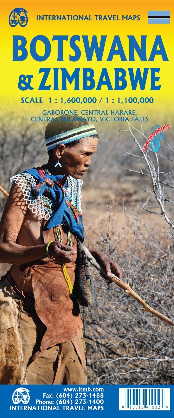
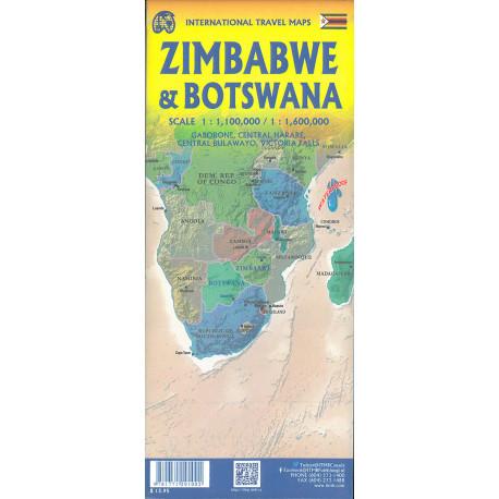
Travel map - Botswana & Zimbabwe | ITM

Price
Regular price $14.00
Regular price Sale price $14.00
Save $-14
/
  • Shipping within 24 working hours from our warehouse in France
  • Delivery costs calculated instantly in the basket
  • Free returns (*)
  • Real-time inventory
  • In stock, ready to ship
  • Backordered, shipping soon
Tax included.

Often purchased together:

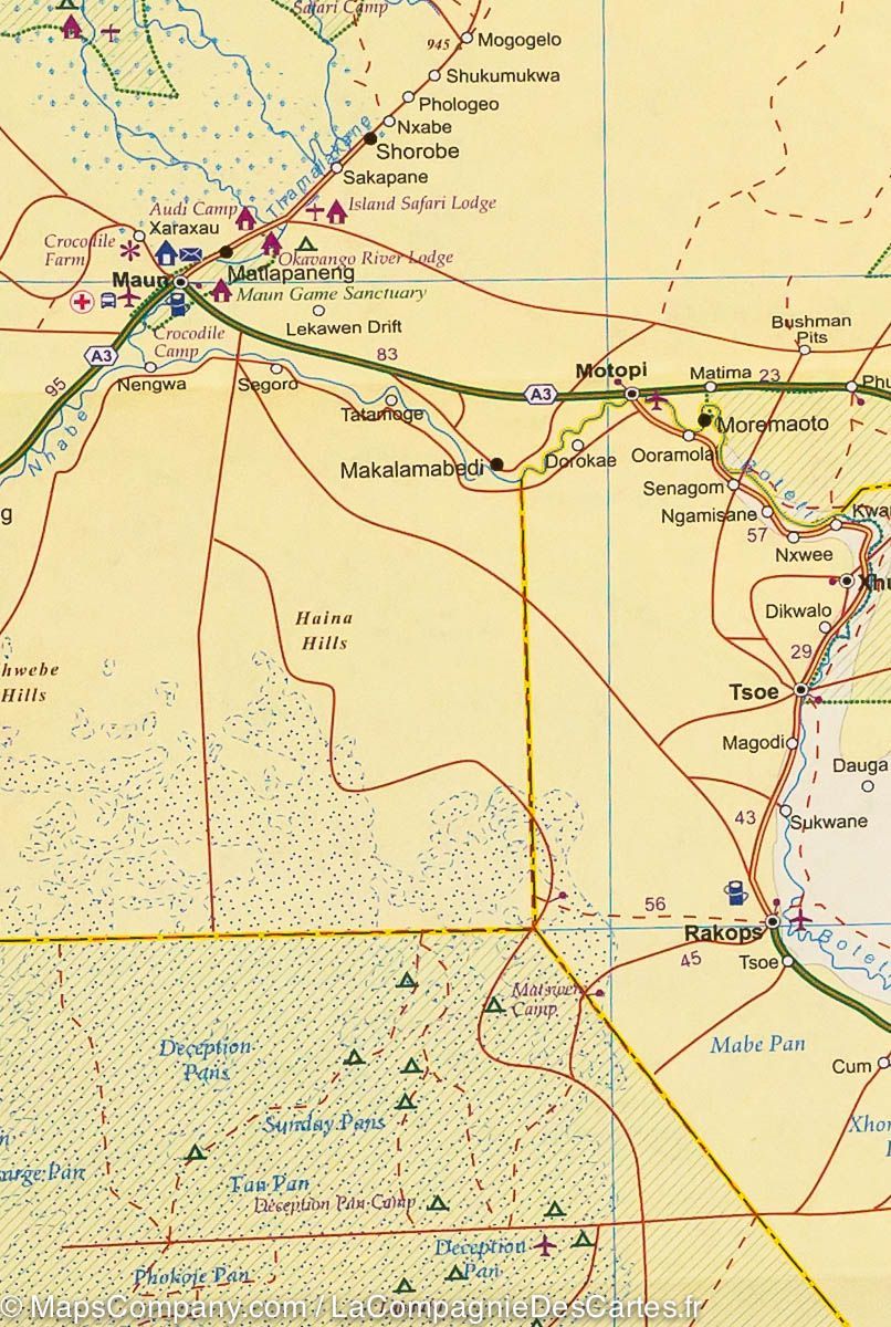
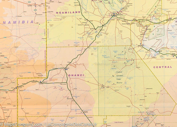
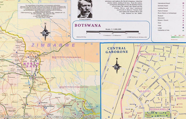
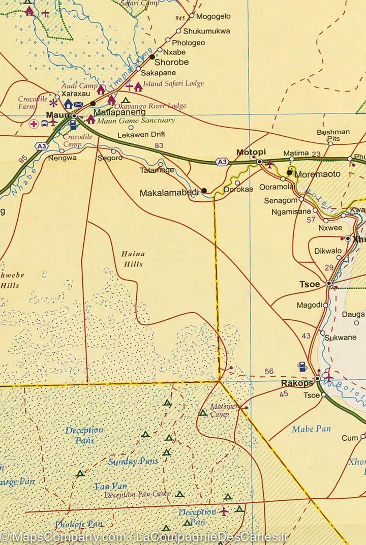
Botswana and Zimbabwe Road map Edited by ITM.

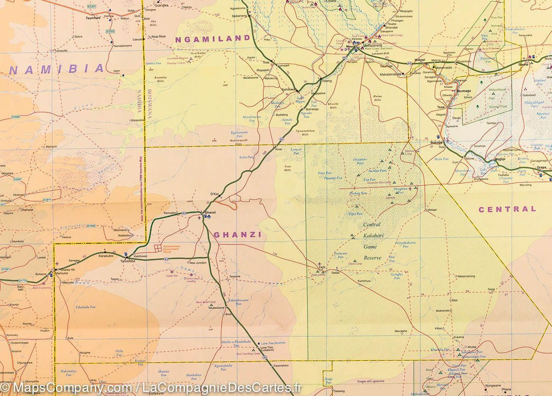
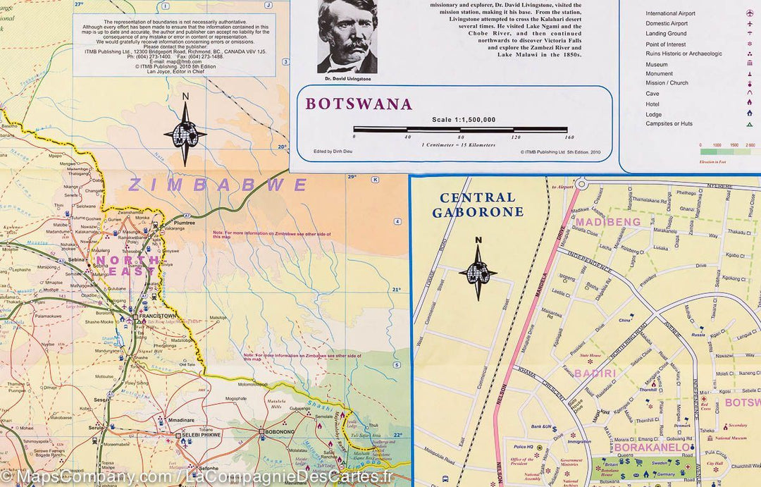
On the front, an indexed Road map of the Botswana with altitude colors in feet and graphics indicating the swamps, sand dunes and salt marshes. National parks and other protected areas are highlighted. The road network includes tracks and shows the locations of service stations. The railway lines are indicated with stations and local airports are indicated. Symbols indicate various places of interest, including various types of tourist accommodation, medical institutions, etc. Also indicated the internal administrative limits of the country with the names of the provinces. Latitude and longitude lines are traced at 1º intervals. The map is accompanied by a large light street map of the center of Gaborone, also annotated with sites, accommodation and facilities.
on the back, a similar mapping presents Zimbabwe, also indexed and accompanied by Street plans from the center of Harare and Bulawayo, as well as the expansion of the Victoria Falls and a Plan of the Grand Zimbabwe National Monument.
import 'components/rte'


ISBN/EAN : 9781771291002
Publication date: 2020
Scale: 1/1,600,000 (1cm=16km) & 1/1,100,000 (1cm=11km)
Printed sides: both sides
Folded dimensions: 24.6 x 10.3 x 0.5cm
Unfolded dimensions: 100 x 69cm
Language(s): English
Weight: 90 g

Customer Reviews

Based on 2 reviews
100%
(2)
0%
(0)
0%
(0)
0%
(0)
0%
(0)
m
michel c. (Caen, FR)

livraison rapide et carte répondant à nos attentes de précisions géographiques

P
Pascale (Carbonne, FR)

Envoi confirme à la demande et livraison rapide
Merci