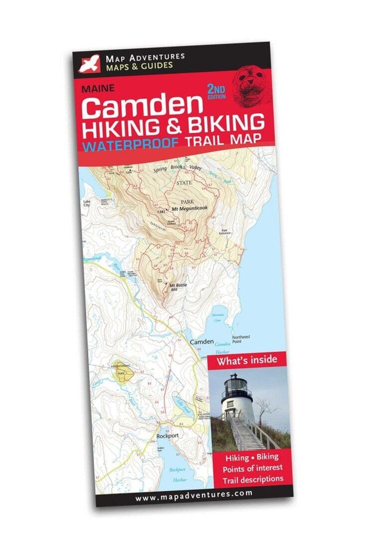
Camden Hiking & Biking Trail Map | Map Adventures carte pliée

Camden Hiking & Biking Trail Map | Map Adventures

Price
Regular price $13.00
Regular price Sale price $13.00
Save $-13
/
  • Shipping within 48 business hours from our warehouse in the USA. For this product, customs fees may be requested by the carrier upon delivery.
  • Delivery costs calculated instantly in the basket
  • Free returns (*)
  • Real-time inventory
  • In stock, ready to ship
  • Backordered, shipping soon
Tax included.

Often purchased together:

One of Maine’s best kept secret hiking trails with ocean views just 3.5 hours from Boston! Camden Hills' miles of coastal hiking trails should not be missed. Camden State Park trails and sunset from Mt. Battie, with its postcard view overlooking the town of Camden, complement the seaside fun of kayaking, sailing, and a lobster feast. Map Features Waterproof paper Hiking trails with 20 day hikes Bike routes with 5 day loops Beaches and swimming Camping Points of interest Index of trails, with difficulty ratings Mileage between points Areas Covered Camden Hills State Park Camden Lincoln Rockport Owls Head Vinalhaven Island


ISBN/EAN : 9781890060336
Publication date: 2018
Folded dimensions: 9 inches x 3.85 inches (22 x 9 cm)
Unfolded dimensions: 19.5 inches x 27 inches (49 x 68 cm)
Language(s): English
Weight: 1.7 oz

Customer Reviews

Be the first to write a review
0%
(0)
0%
(0)
0%
(0)
0%
(0)
0%
(0)
More from Boston
Plan plastifié - Boston | Borch Map carte pliée Borch Map
Laminated plan - Boston | Borch Map
Borch Map
$10.00
Carte de voyage - Nouvelle-Angleterre & Plan de Boston | ITM carte pliée ITM
Travel map - New England & Boston Plan | ITM
ITM
$13.00