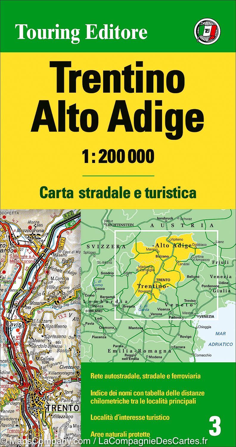
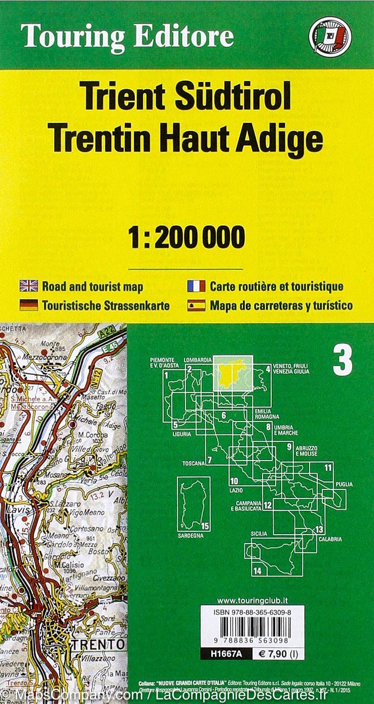
Carte routière n° 3 - Trentin-Haut-Adige (région de Bolzano, Italie) | Touring Club Italiano-1/200 000 carte pliée Touring

Road Map # 3 - Trentino-Alto Adige (Bolzano, Italy) | Touring Club Italiano-1 / 200,000

Road Map # 3 - Trentino-Alto Adige (Bolzano, Italy) | Touring Club Italiano-1 / 200,000

Regular price $14.00
/
  • Shipping within 24 working hours from our warehouse in France
  • Delivery costs calculated instantly in the basket
  • Free returns (*)
  • Real-time inventory
  • In stock, ready to ship
  • Backordered, shipping soon
Tax included.

Detailed map of Trentino-Alto Adige (Italy) published by Touring. This simple side map covers the areas of Trento and Bolzano. Topography of the relief. The names of mountain ranges, valleys, vertices, etc ... are presented and national parks and other protected areas are highlighted.

The road distances are indicated on many local routes. Places of interest and panoramic roads are marked on the map.

Cities index and distances on the back. Scale 1 / 200,000 (1 cm = 2 km).

Waterproof and tear resistant map.


ISBN/EAN : 9788836576432
Publication date: 2020
Scale: 1/200,000 (1cm=2km)
Printed sides: front
Folded dimensions: 23.5 x 12.5cm
Unfolded dimensions: 111 x 93cm
Language(s): multilingual (including French)
Poids : 90 g

Customer Reviews

No reviews yet
0%
(0)
0%
(0)
0%
(0)
0%
(0)
0%
(0)