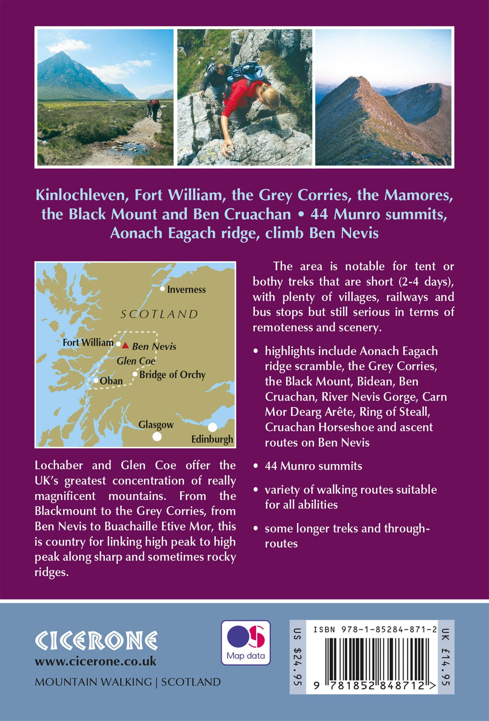
Hiking guide - Ben Nevis & Glen Coe: 100 Low, Mid & High Level walks | Cicerone
Regular price
$27.00
Regular price
Sale price
$27.00
Save $-27
/
- Shipping within 24 working hours from our warehouse in France
- Delivery costs calculated instantly in the basket
- Free returns (*)
- Real-time inventory
- In stock, ready to ship
Related geographic locations and collections: Ben Nevis, Hiking in Scotland, Travel guides & practical guides