Hiking map No. 1 - West Flanders and Pas de Calais | Alta Via

Price
Regular price $18.00
Regular price Sale price $18.00
Save $-18
/
  • Shipping within 24 working hours from our warehouse in France
  • Delivery costs calculated instantly in the basket
  • Free returns (*)
  • Real-time inventory
  • In stock, ready to ship
  • Backordered, shipping soon
Tax included.

Often purchased together:

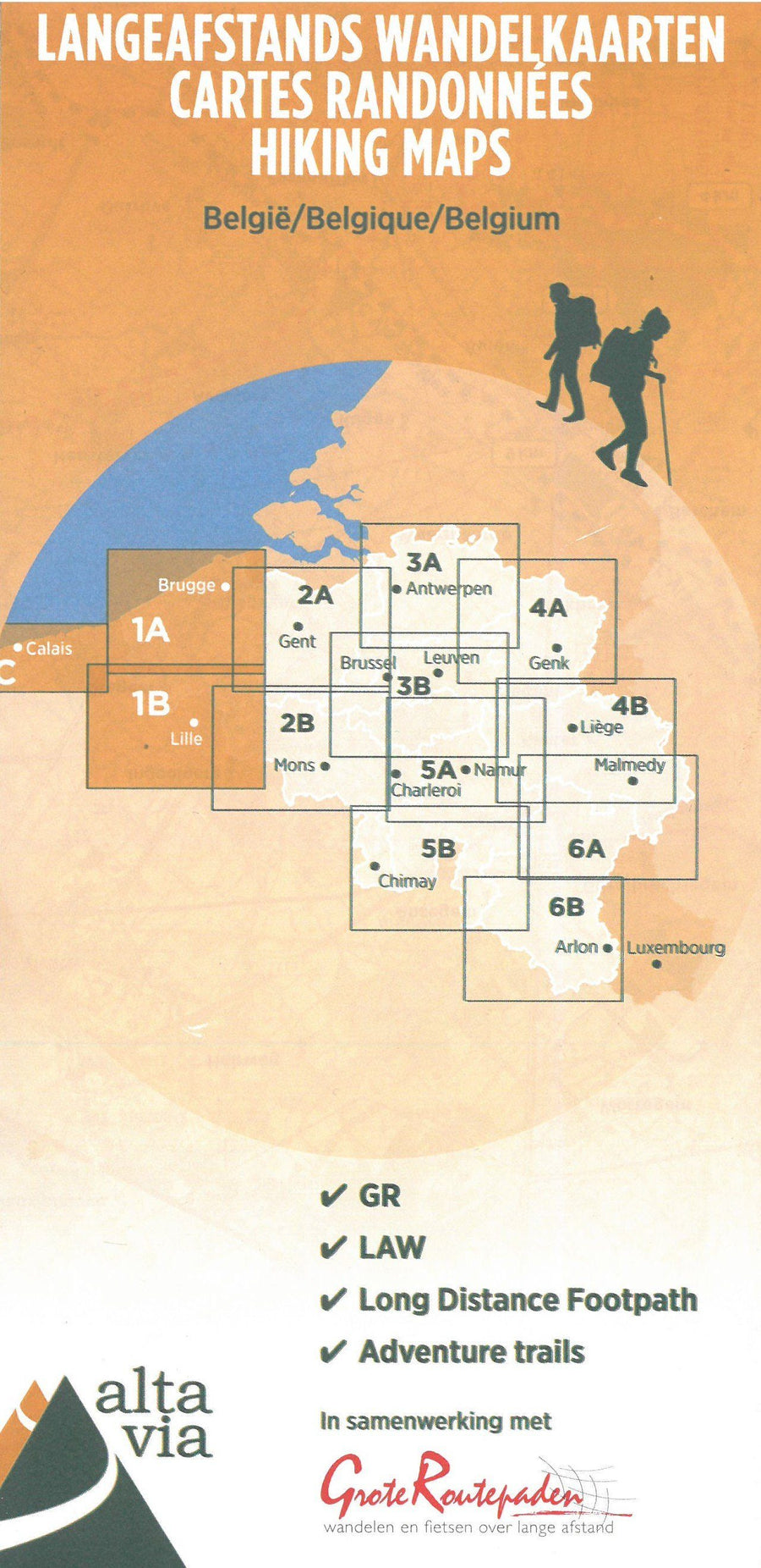
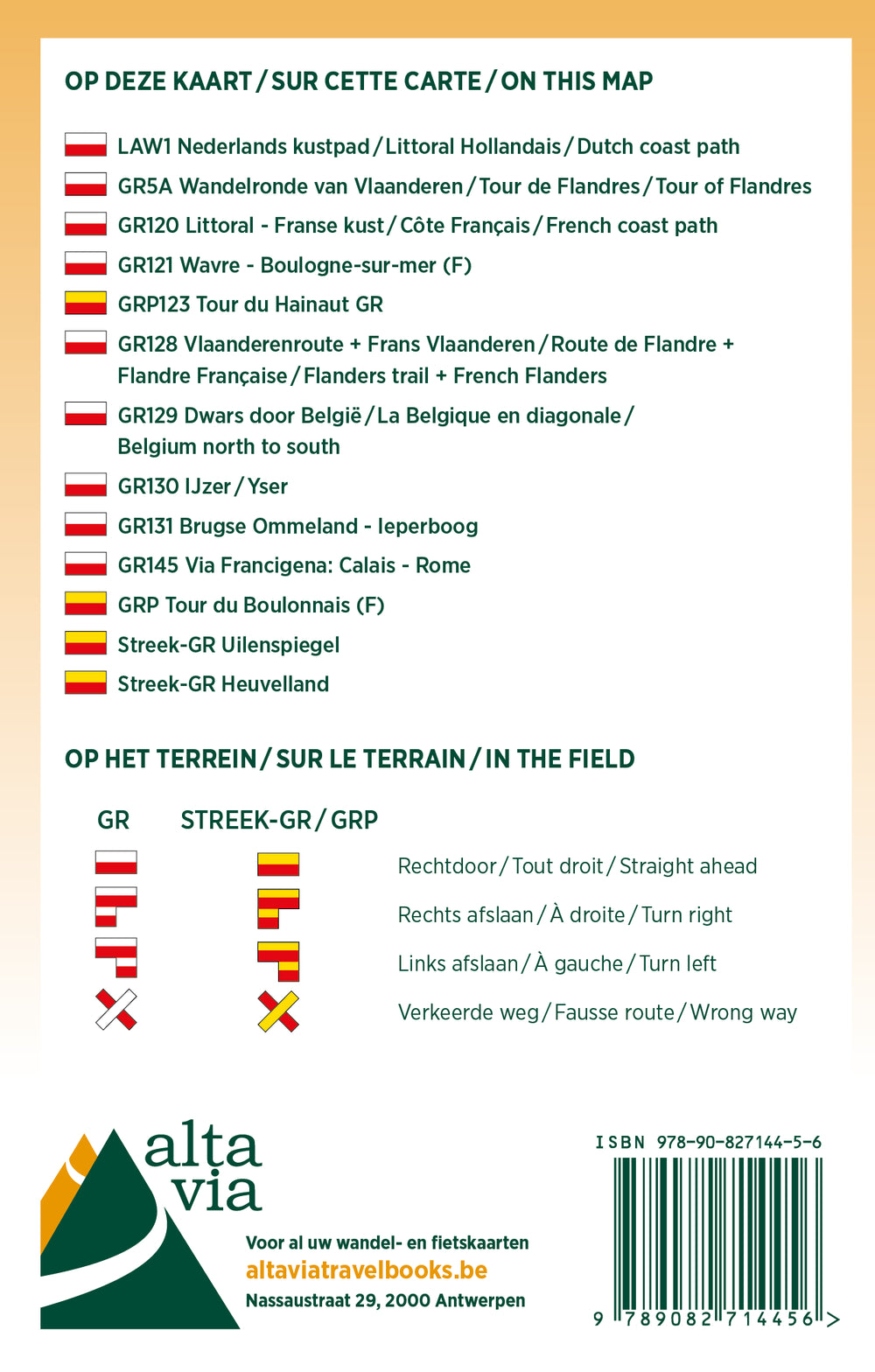
Hiking map of West Flanders and Pas-de-Calais published by Alta Via, focusing on the GR, regional GR, the Compostela Via, GTA, and Eisleck Trail routes.

The map also includes kilometer indications and all train stations, as well as youth hostels, hikers' cabins, stilt campsites, and campgrounds.

The scale is 1:85,000 (1 cm = 850 m).

See all maps in this series


ISBN/EAN : 9789082844344
Publication date: 2023
Scale: 1/85000 (1cm=850m)
Language(s): French, English, Flemish
Weight: 80 g

Customer Reviews

Be the first to write a review
0%
(0)
0%
(0)
0%
(0)
0%
(0)
0%
(0)