Washington, D.C. and Baltimore Regional | Rand McNally

Washington, D.C. and Baltimore Regional | Rand McNally carte pliée

Washington, D.C. and Baltimore Regional | Rand McNally

Regular price $10.00
/
  • Ships within 48 business hours from our US warehouse.
  • Delivery costs calculated instantly in the cart
  • Free returns (*)
  • Real-time inventory
  • In stock, ready to ship
  • Inventory on the way
Tax included.

Often purchased together:

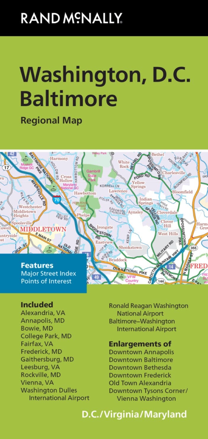
Road map of the Washington D.C. and Baltimore area with legend. Insets of Tysons Corner/Vienna, Ronald Regan Washington National Airport, Annapolis, Baltimore-Washington International Thurgood Marshall Airport and Baltimore. On reverse map continued with city, street and points of interest index. Insets of Bethesda, Washington Dulles International Airport, Frederick, Old Town Alexandria and Washington DC.


ISBN/EAN : 9780528008139
Publication date: 2018
Folded dimensions: 9.06 inches x 4.33 inches (23 x 10 cm)
Language(s): English
Poids : 2.2 oz

Customer Reviews

Be the first to write a review
0%
(0)
0%
(0)
0%
(0)
0%
(0)
0%
(0)
More from Baltimore
Guide Vert - Nord-Est américain - Édition 2022 | Michelin guide de voyage Michelin
Green Guide - United States Northeast | Michelin (French)
Michelin
$20.00
Sold Out
Washington, D.C. and Baltimore Regional | Rand McNally carte pliée
Washington, D.C. and Baltimore Regional | Rand McNally
Rand McNally
$10.00
Sold Out
Baltimore : street map | Rand McNally carte pliée
Baltimore : street map | Rand McNally
Rand McNally
$10.00
Recently viewed