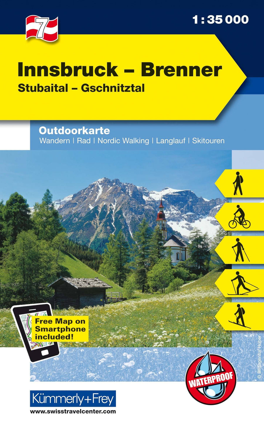
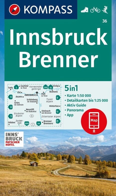
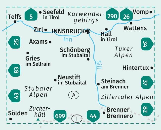
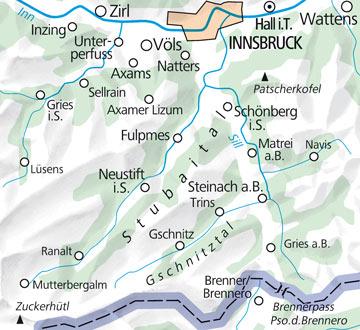
Carte de plein air n° WK.07 - Innsbruck - Brenner FMS (Autriche) | Kümmerly & Frey carte pliée Kümmerly & Frey

Outdoor Map # WK.07 - Innsbruck - Brenner FMS (Austria) | Kümmerly & Frey

Outdoor Map # WK.07 - Innsbruck - Brenner FMS (Austria) | Kümmerly & Frey

Regular price $14.00 Sale price $11.00 Save $3
/
  • Shipping within 24 working hours from our warehouse in France
  • Delivery costs calculated instantly in the basket
  • Free returns (*)
  • Real-time inventory
  • In stock, ready to ship
  • Backordered, shipping soon
Tax included.
Outdoor maps for hiking, skiing or cycling.
The new maps for outdoor sports Kümmerly + Frey 1/35 000 or 1/50 000 will tell you all the possibilities for your hobbies. Digital mapping of high quality printed on waterproof and tearful paper.
Level curves spaced 40 m.
Peaks, Valleys, Types of vegetation etc. The hiking trails and mountain bike paths are highlighted.
Another strong point, you can download your map for free on your smartphone.
With exact GPS location on the map, you always know where you are exactly.
Legend in English and German.


ISBN/EAN : 9783259007167
Publication date: 2017
Printed sides: both sides
Folded dimensions: 12.5 x 20cm
Language(s): German English
Poids : 82 g

Customer Reviews

No reviews yet
0%
(0)
0%
(0)
0%
(0)
0%
(0)
0%
(0)