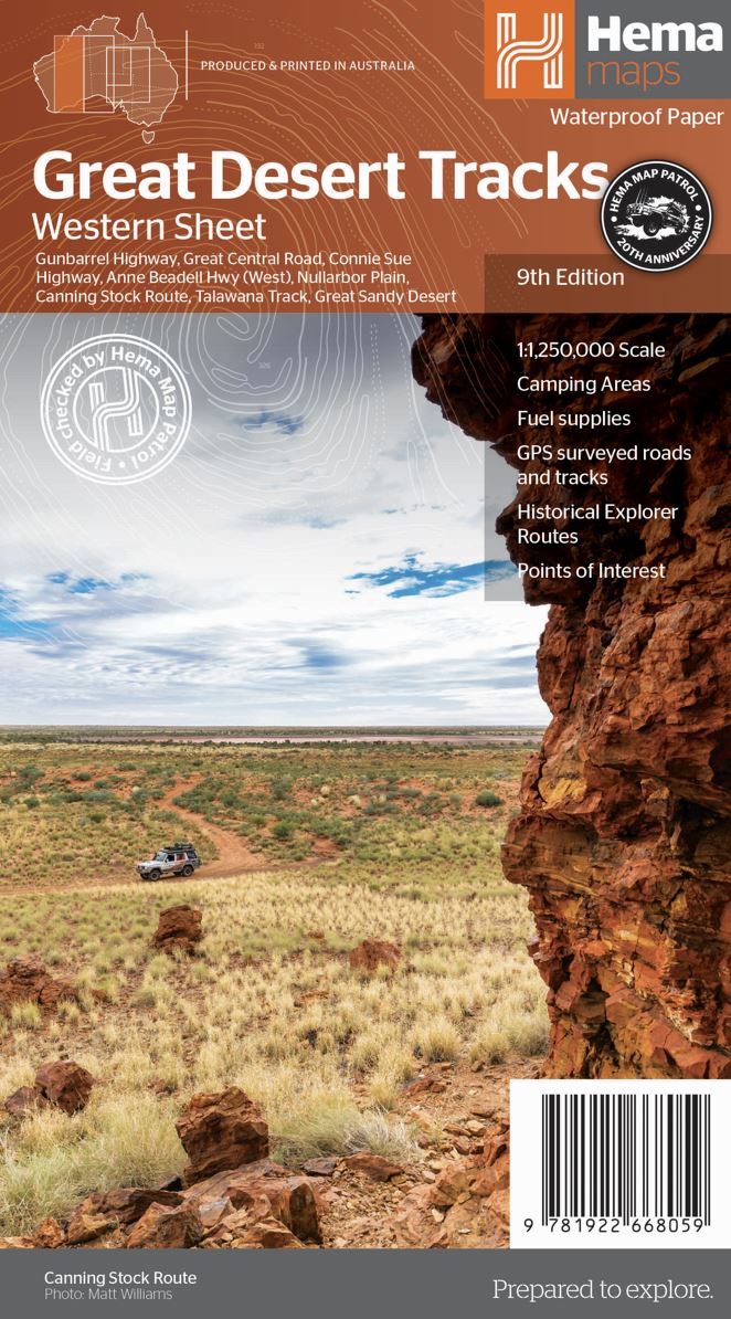
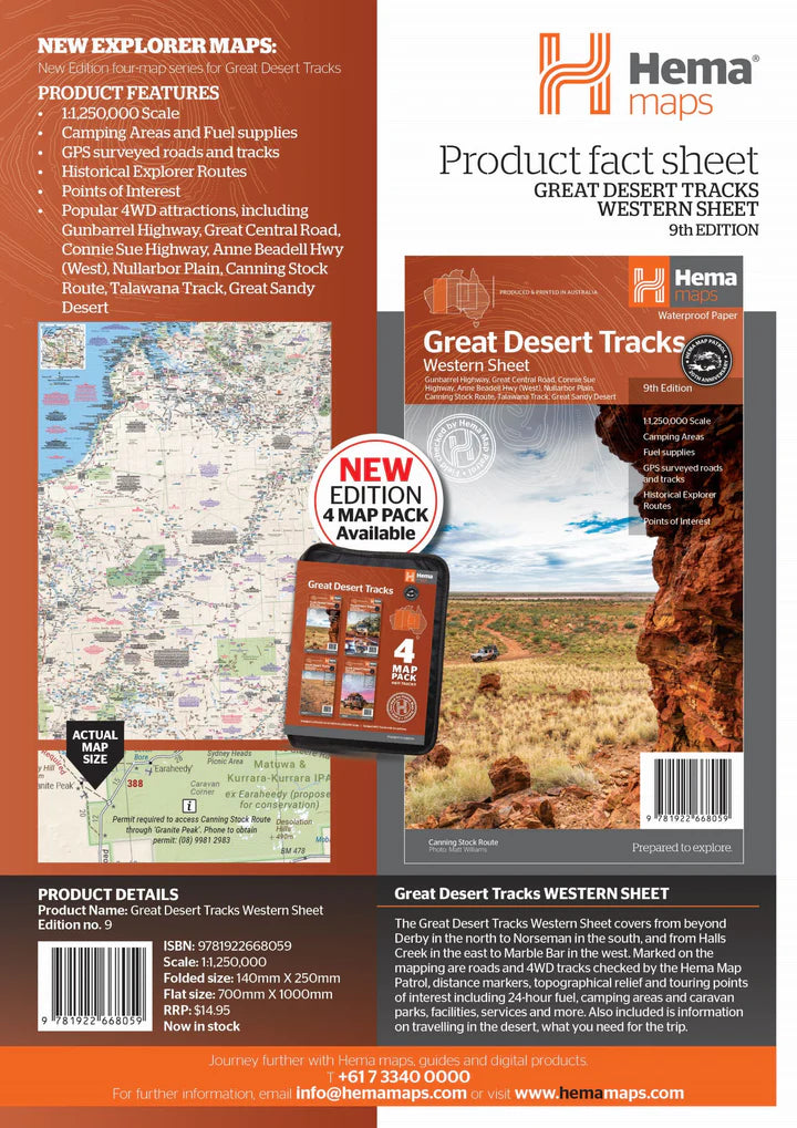
The map includes roads and 4 - wheel drive tracks overlooked by the Hema Map Patrol, points of interest for remote areas travelers and tourist information to learn more about the region and plan your trip.
The West Map of Great Desert Tracks ranges from Derby to North to Norseman south, and Halls Creek to the East Marble Bar in the West.
The roads and tracks in 4x4 controlled by the Hema Map Patrol, distance marks, topographic reliefs and tourist points of interest, including the 24 - hour fuel, campgrounds and caravans, facilities., services, etc.
You will also find information on travel in the desert, and information on relevant contacts.
Includes:
- Gunbarrel motorway
- Great central road
- Motorway Connie Sue
- Nullarbor Plain
- Canning stock road
- Talawana Track
ISBN/EAN : 9781922668059
Publication date: 2022
Scale: 1 / 1,250,000 (1cm = 12.5km)
Printed sides: both sides
Folded dimensions: 25 x 17.5cm
Unfolded dimensions: 100x70cm
Language(s): English
Weight:
82 g


