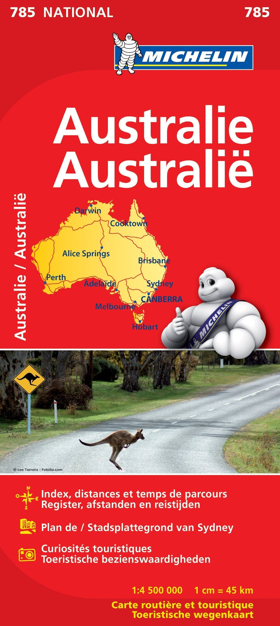
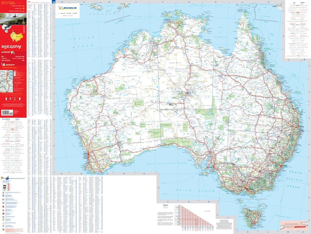
A double-sided map of Australia. With large, clear street plans of central Sydney, Melbourne, and Brisbane, showing a selection of hotels and places of interest. Elevation coloring, in feet, shows the topography, with peak elevations shown in feet and meters. The names of various mountain ranges, deserts, and other geographical features are also shown. Aboriginal lands and some national parks are noted.
The map is best used as an overview of Australia's major highway network, annotated where appropriate with names, as well as some connecting roads and outback tracks. Travel distances are shown on major roads. Railway lines are included, and local airports are marked. A series of symbols indicates various places of interest.
This map is printed on waterproof, tear-resistant paper.
ISBN/EAN : 9781771290401
Publication date: 2025
Scale: 1/3,500,000 (1cm=35km)
Printed sides: both sides
Folded dimensions: 24.6 x 10.3 x 0.5cm
Unfolded dimensions: 100 x 69cm
Language(s): English
Weight:
55 g


