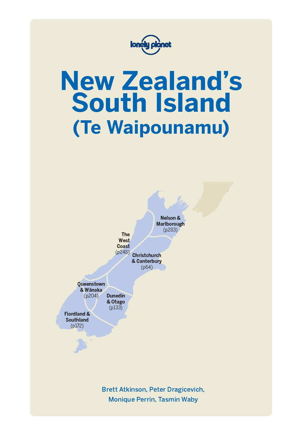
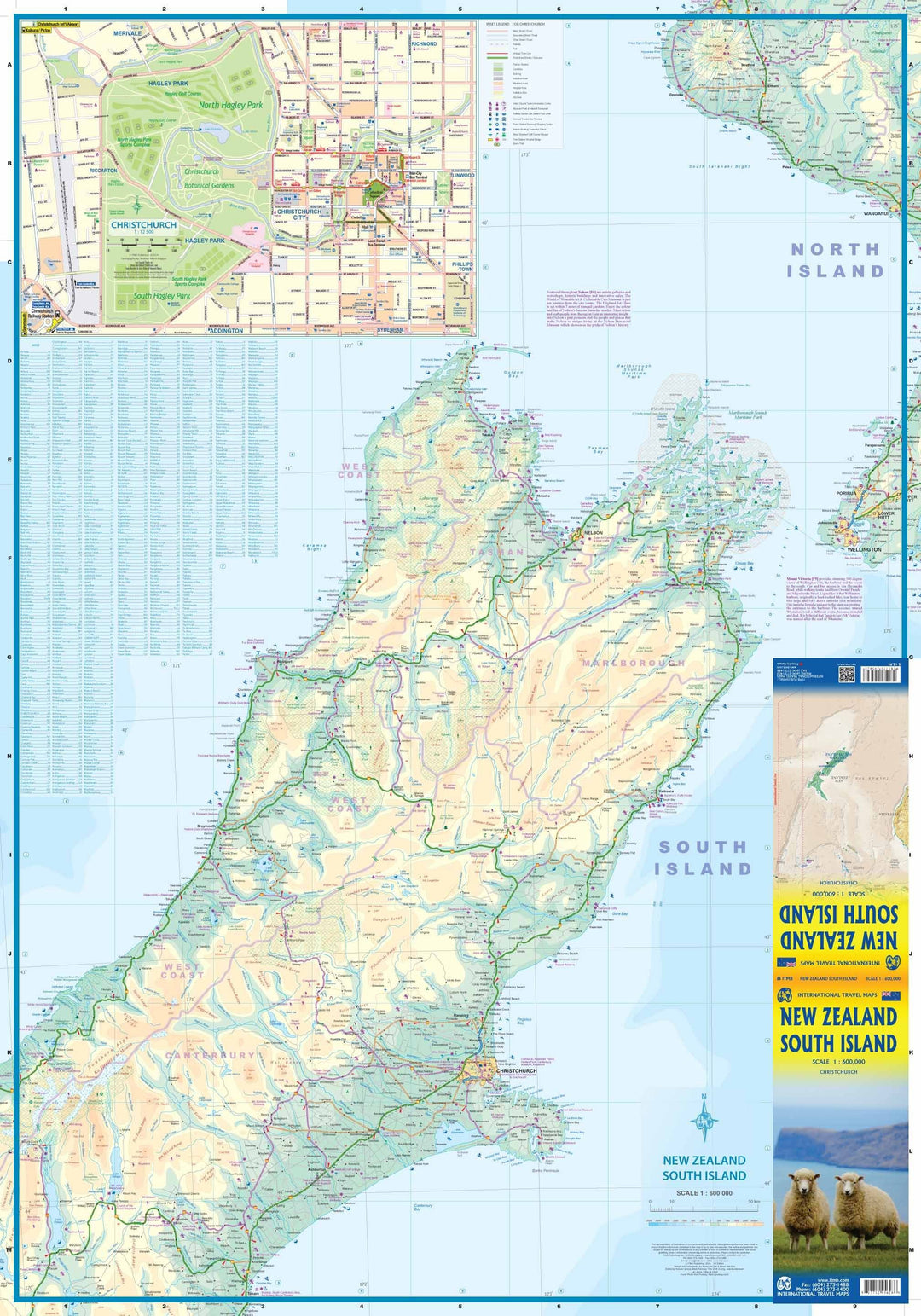
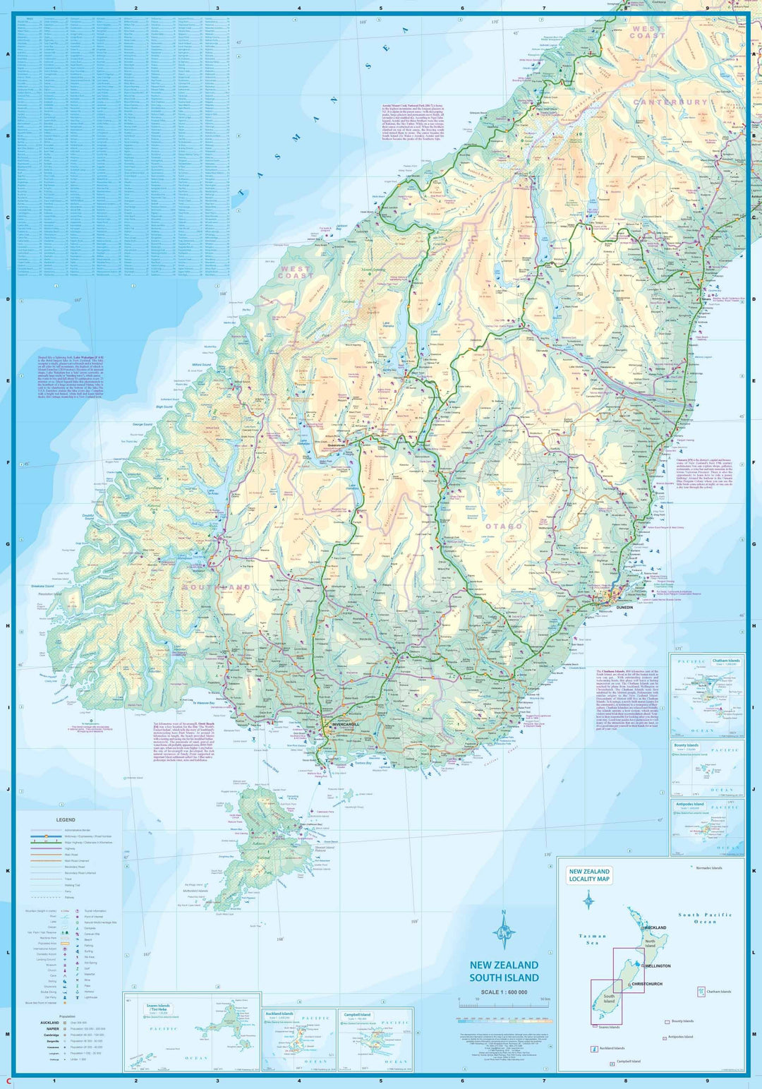
Carte de voyage - Ile du Sud (Nouvelle Zélande) | ITM carte pliée ITM

Travel Map - South Island (New Zealand) | ITM

Travel Map - South Island (New Zealand) | ITM

Regular price $15.00
/
  • Shipping within 24 working hours from our warehouse in France
  • Delivery costs calculated instantly in the basket
  • Free returns (*)
  • Real-time inventory
  • Low stock - 1 item left
  • Backordered, shipping soon
Tax included.

Road Map of the South Island of New Zealand published by ITM. One side of the map covers the extreme south - Invercargill and Dunedin, Stewart Island, Milford Sound, north of Mount Cook in the Southern Alps. The other side continues north to Christchurch and Nelson on the north coast and shows the ferry crossing to Wellington, on the North Island.

Detailed map including Christchurch in inset. Relief mapping, cities index and detailed legend included.

1/600 000 scale (1 cm = 6 km).


ISBN/EAN : 9781771295628
Publication date: 2016
Scale: 1/600,000 (1cm=6km)
Printed sides: both sides
Folded dimensions: 24.6 x 10.3 x 0.5cm
Unfolded dimensions: 100 x 69cm
Language(s): English
Poids : 53 g

Customer Reviews

Based on 1 review
100%
(1)
0%
(0)
0%
(0)
0%
(0)
0%
(0)
c
c.w.
carte reçue très vite (3 jours) ...

carte reçue très vite (3 jours)