Topographic map - Aruba | Kasprowski

Price
Regular price $18.00
Regular price Sale price $18.00
Save $-18
/
  • Shipping within 24 working hours from our warehouse in France
  • Delivery costs calculated instantly in the basket
  • Free returns (*)
  • Real-time inventory
  • In stock, ready to ship
  • Backordered, shipping soon
Tax included.

Often purchased together:

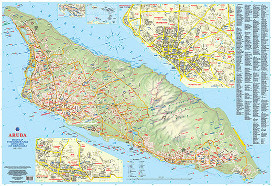
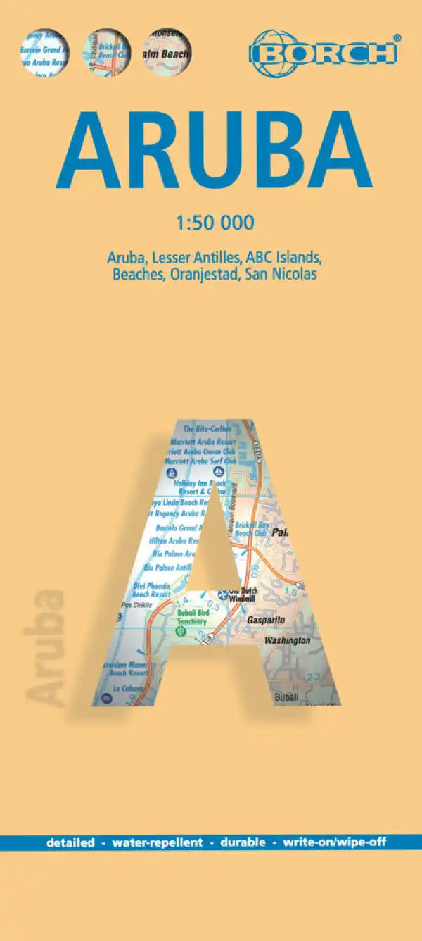
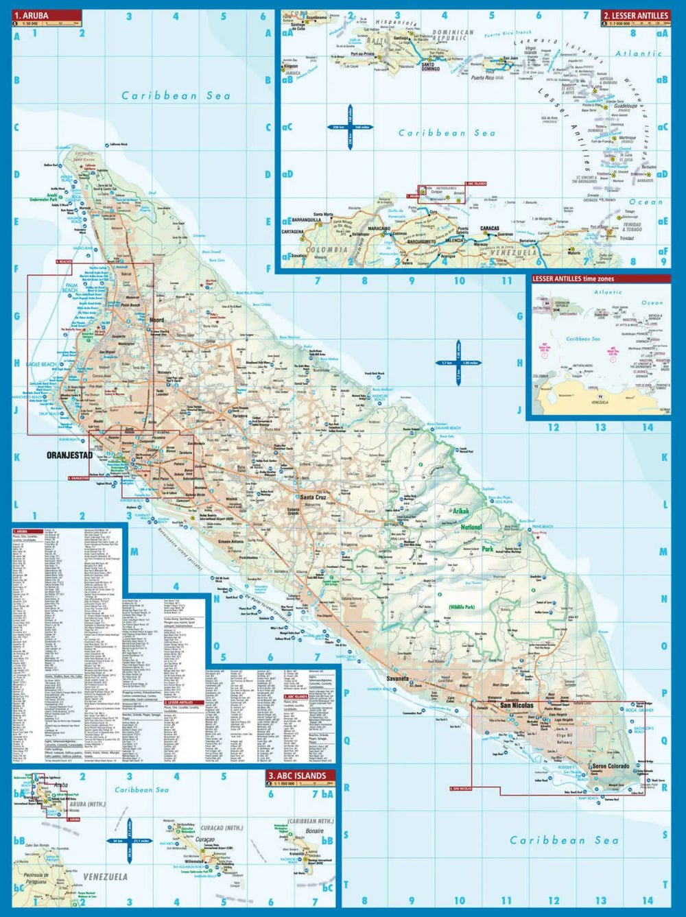
The topography is represented by an altitude color with spot heights The area of ​​the Arikok National Park is clearly indicated. The road network indicates the main roads and indicates the secondary roads and local tracks or trails. Cycling and recommended hiking trails are highlighted symbols designate various facilities and places of interest, including beaches, sugar factories, gas stations, etc. Along the coast, many diving sites are indicated. Latitude and longitude lines are marked at 2 'interval. The legend of the map is in English.
Oranjestad Indexed Street Plans (including access to the Island International Airport) and San Nicolas are also provided. An index covers both the main board and street plans.
The map has the following features:
- the complete road network detailed on the street
- a complete index of streets and roads
- Additional maps of main cities
- an attractive presentation, all in color
- very detailed topography
- Legend and ladder
- The depth lines, the probes in meters, the lines of longitude and latitude and other identifiers.


ISBN/EAN : 9791095793014
Publication date: 2016
Scale: 1/28000 (1cm=280m)
Folded dimensions: 22.5 x 12.5cm
Language(s): English
Weight: 89 g

Customer Reviews

No reviews yet
0%
(0)
0%
(0)
0%
(0)
0%
(0)
0%
(0)
More from Aruba