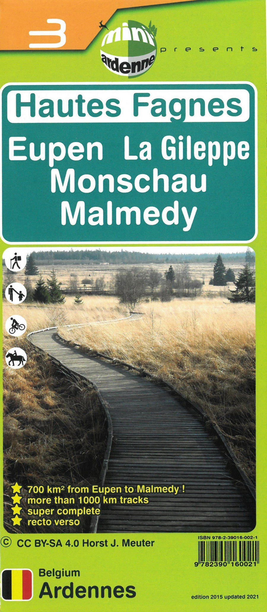
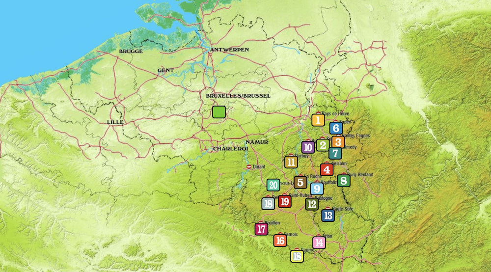
from Raeren north to Malmedy south and Sart to the West in Montjoie in the East.
It covers the whole area of the top tray thanks to a gigantic double - sided printing (+ 700 km² covered!).
It overflows north until Welkenraedt, Raeren - South and the Dreilägerbach Dam (Dreilägerbachtalsperre), beyond the German border.
South, it reaches Malmedy, Waimes and Lake Bütgenbach. Then from west, it extends from Francorchamps and Sart to the beyond Montjoie (Monschau).
To top it off, it also contains the very tourist lakes of Eupen dams, the Gileppe and Robertville, which wears the total 5 Great Lakes, the starting points of many hikes all on the map.
All the tribute streams whose valleys offer magnificent walks are well present: the valleys of the Gilephe, the Hoëgne / Poler, the Warche, Bayehon, the Helle, the Soo, the Statte, of The SAWE, the upper course of the Vesdre, Getzbach, Schwarzbach ...
These discoveries, that you can easily organize yourself thanks to this map will offer you very many days of pleasure in the middle of nature, by disconnecting totally while practicing physical activity, in a gentle or intensive way, family or sports at the choice.
The Fagnard Plateau is very large and it is not uncommon for people to get there. But this map has been designed from geographic data based on the latest satellite photos. It highlights in a fairly comprehensive way, all accessible paths and trails (with the distances indicated on each section), which will easily discover this exceptional area of background, by offering a very good overview. < BR> Especially since the map is marked with a large number of points of interest, including the well - known names of the Fagners will count by dozens, such as the famous sinks, the many monuments, the historical limits, the trees remarkable and many others, from about 200 other elements present in the legend!


