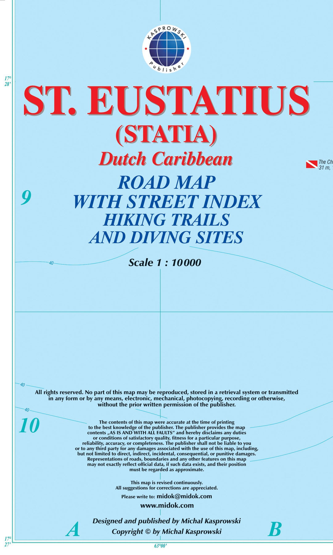
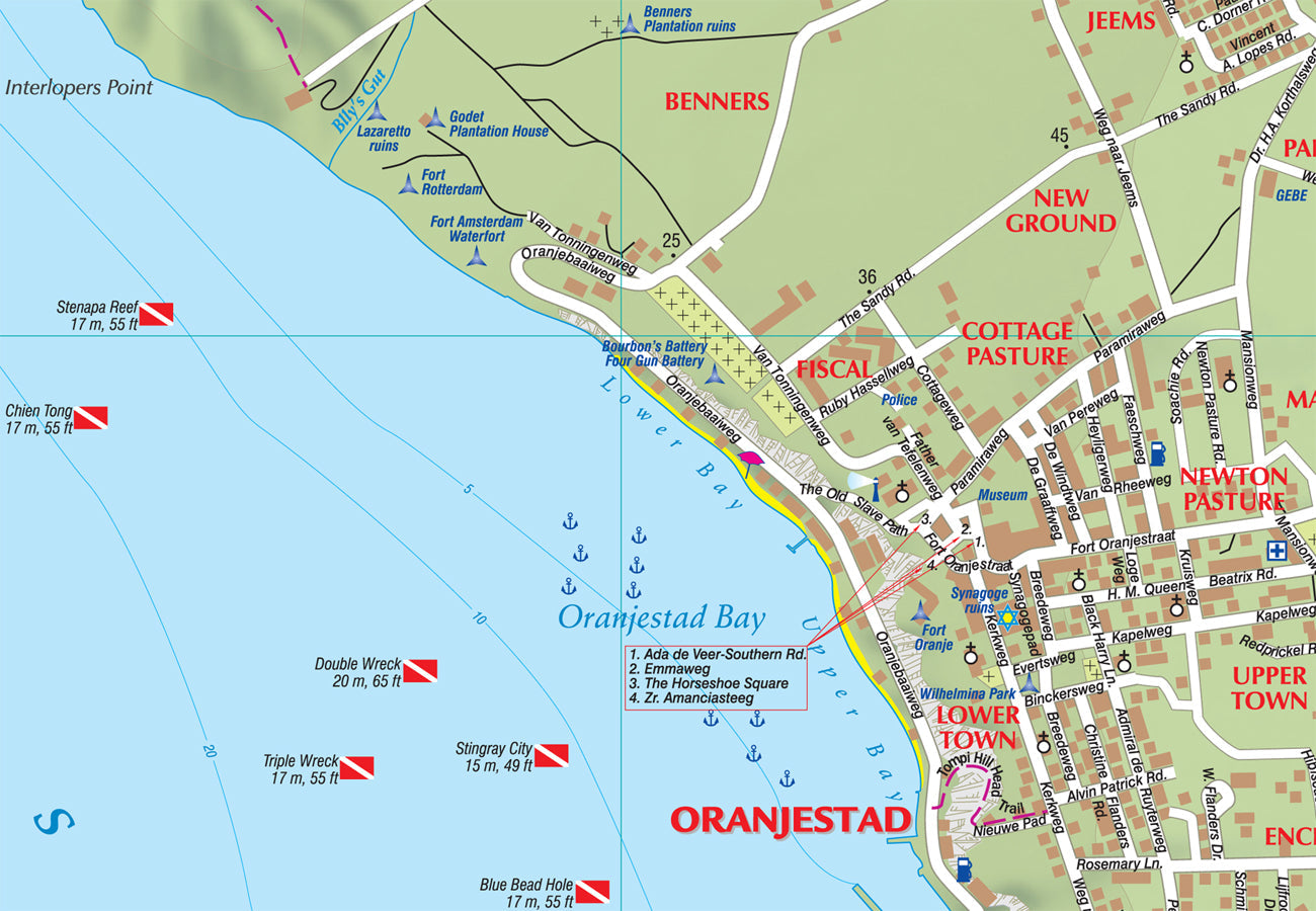
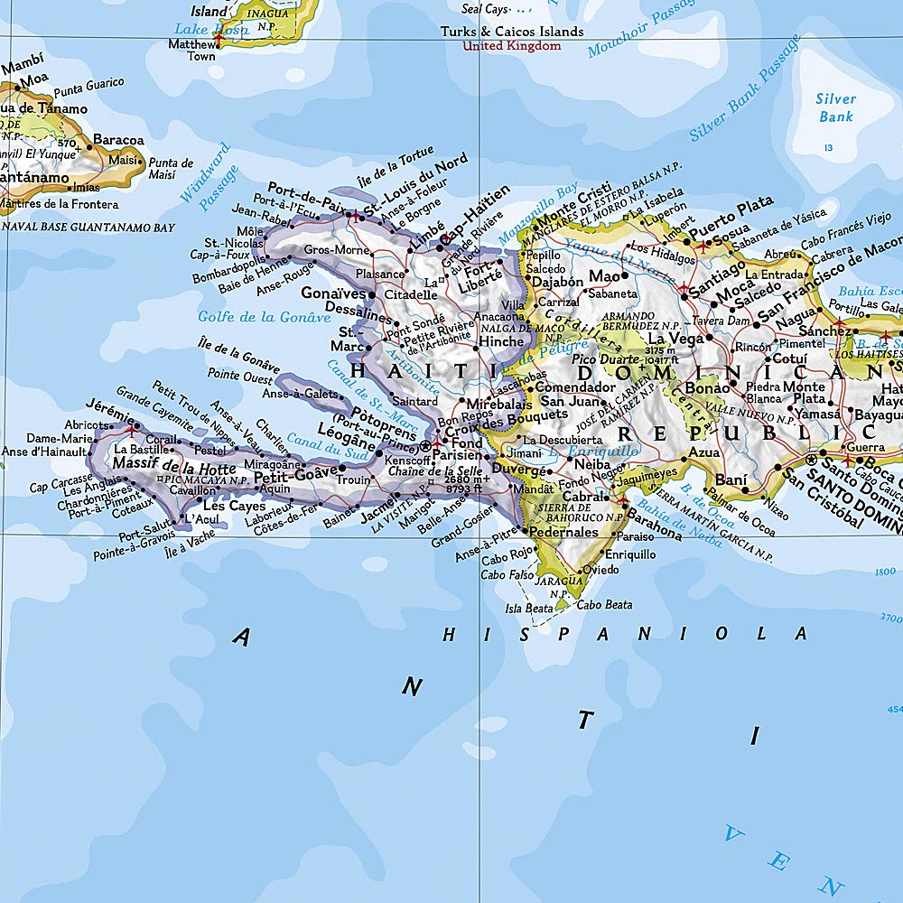
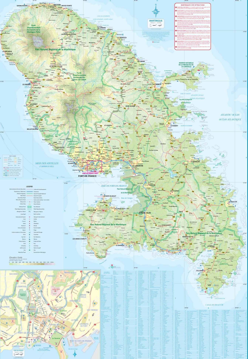
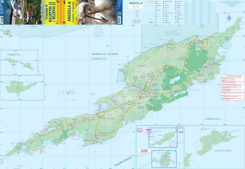
This complete map complete with a street index of the Dutch Caribbean Island of Saint-Eustache (Statia), on a scale 1: 10,000 presents the roads and the streets with their names and locates hiking trails and sites of diving.
The map is sold folded, measuring 12.5 cm x 22.5 cm and is designed for easy opening and folding. Its complete format unfolded is 67 cm x 89 cm.
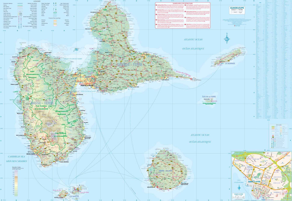
Designed for travelers, this excellent map offers unparalleled coverage of the island. Its detailed information and level of detail correspond to a wide range of interests. The map includes shaded areas, three road levels (trails, secondary roads and main roads) and symbols representing a large number of physical characteristics.
The map has the following features:
- the complete road network detailed on the street
- a complete index of streets and roads
- Additional maps of main cities
- an attractive presentation, all in color
- very detailed topography
- Legend and ladder
- The depth lines, the probes in meters, the lines of longitude and latitude and other identifiers.
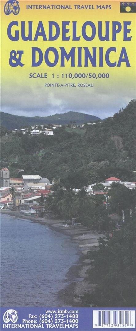
ISBN/EAN : 9791095793106
Publication date: 2014
Scale: 1/10,000 (1cm=100m)
Folded dimensions: 22.5 x 12.5cm
Unfolded dimensions: 67 x 89cm
Language(s): English
Poids :
89 g