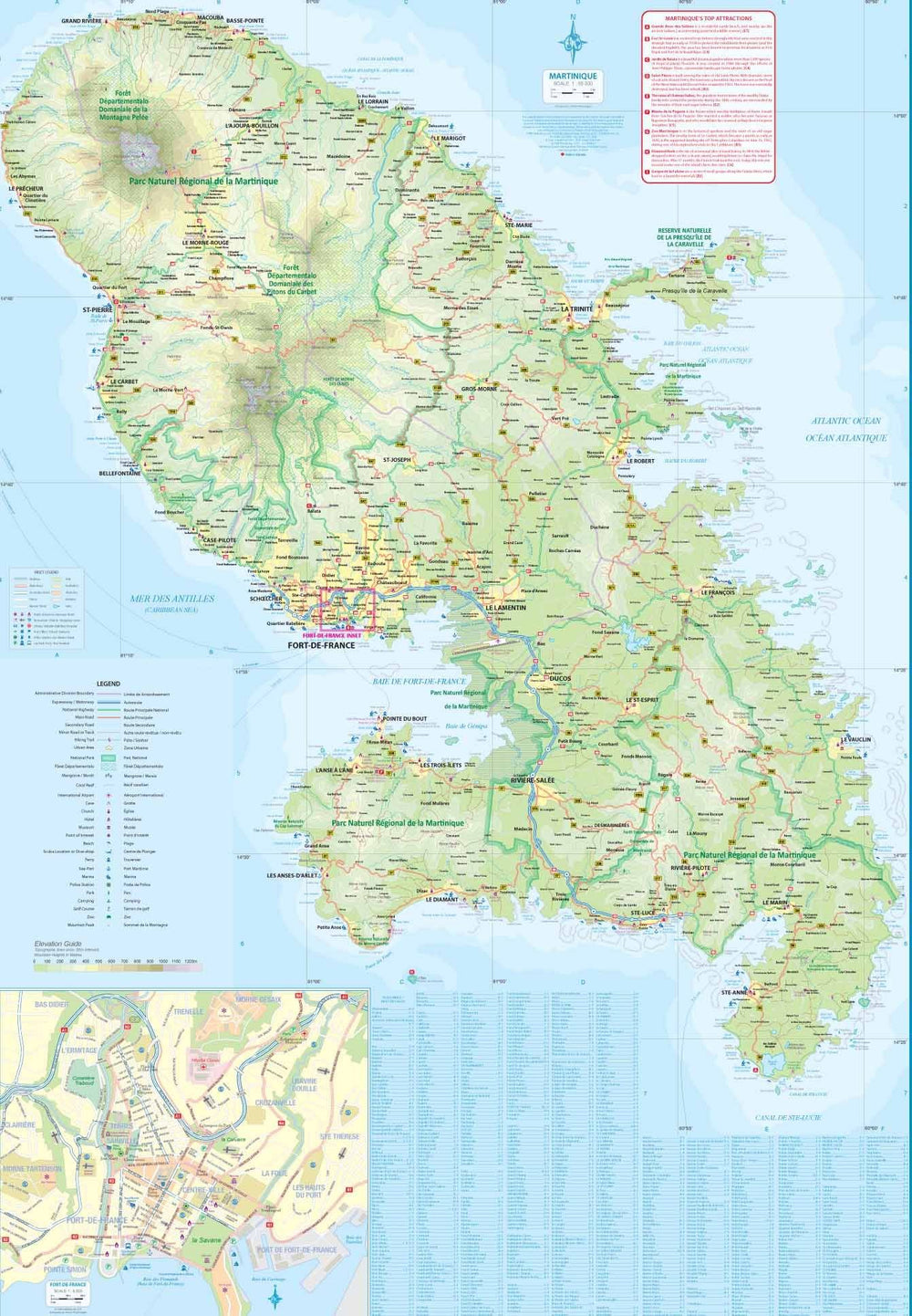


Topographic Map - Saint-Barthélemy, St. Barth's (French Caribbean) | Kasprowski
Topographic Map - Saint-Barthélemy, St. Barth's (French Caribbean) | Kasprowski
Regular price
$19.00
- Shipping within 24 working hours from our warehouse in France
- Delivery costs calculated instantly in the basket
- Free returns (*)
- Real-time inventory
- In stock, ready to ship
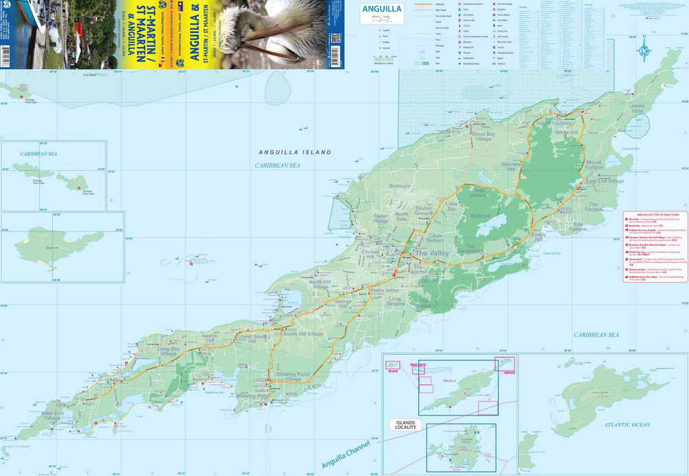
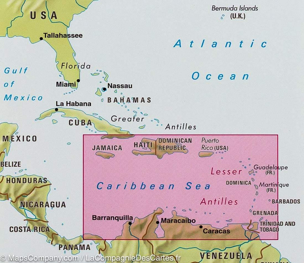
Related geographic locations and collections: West Indies, Caribbean Islands, Lesser Antilles, Saint-Barthélemy