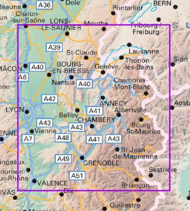
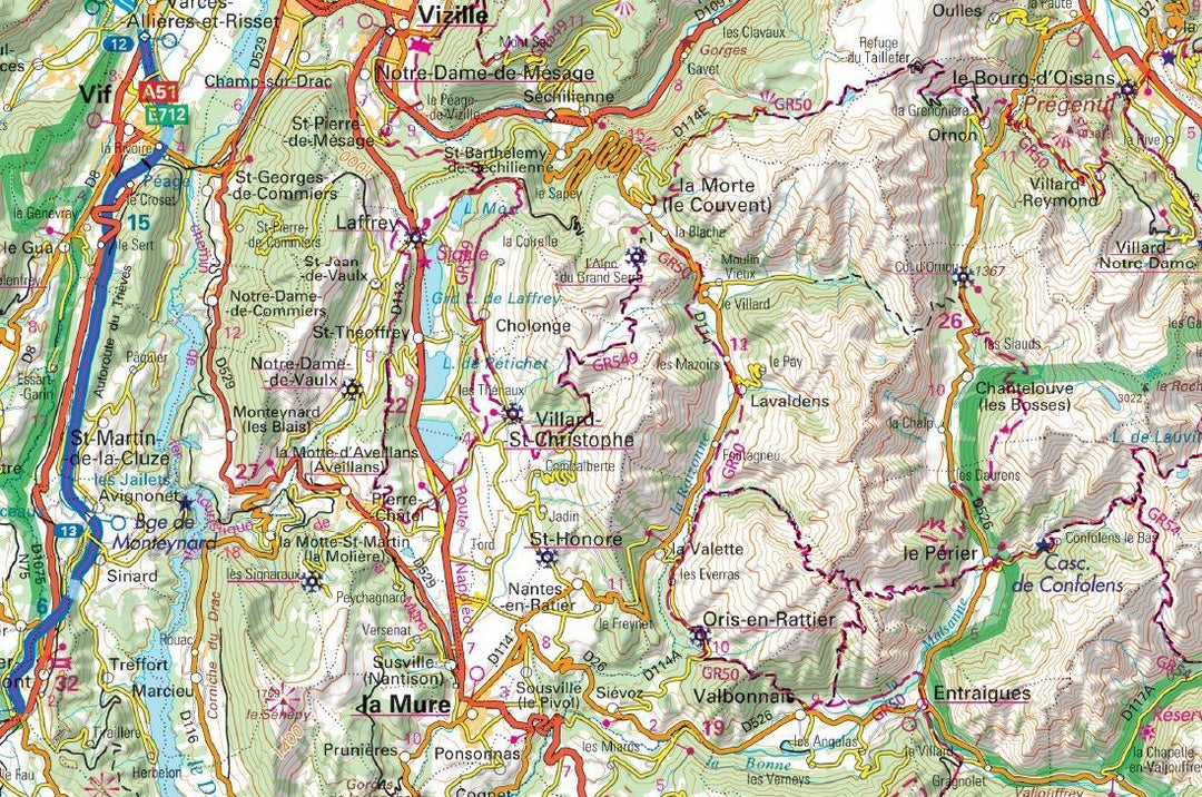
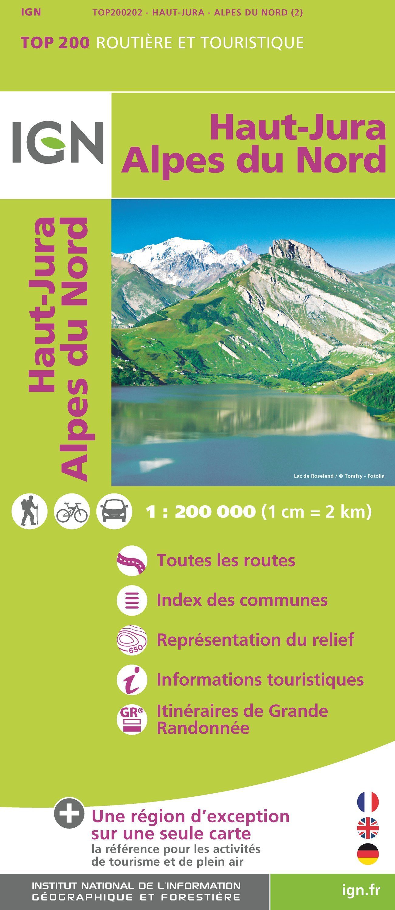
Map top 200 - # 202 - Northern High Jura & Alps | IGN

Carte TOP 200 - n° 202 - Haut-Jura & Alpes du Nord | IGN carte pliée IGN
Carte IGN TOP 200 - 202 - Haut-Jura & Alpes du Nord | IGN - La Compagnie des Cartes

Map top 200 - # 202 - Northern High Jura & Alps | IGN

Regular price $9.00
/
  • Shipping within 24 working hours from our warehouse in France
  • Delivery costs calculated instantly in the cart
  • Free returns (*)
  • Real-time inventory
  • In stock, ready to ship
  • Inventory on the way
Tax included.

Often purchased together:

Road Map and tourist of Jura and Northern Alps edited by IGN. This detailed map extends from Lons-le-Saunier to Die (from North to South) and Mâcon to Aosta (West East). This map includes the regions of Bourg-En-Bresse, Annecy, Chambéry and Grenoble.
Features of this IGN Top 200 series features:
  • The entire motorway and road network: the ideal for travel by car and cycling.
  • Detailed tourist information, practices to discover a region. GR®: The reference for planisphere its hikes.
  • The representation of the relief, indispensable for mountainous regions (level curves, stitches, sludge).
  • An index of all municipalities to find easily.
  • The reference for tourism and outdoor activities. Scale 1/200 000.


ISBN/EAN : 9782758543855
Publication date: 2018
Scale: 1/200,000 (1cm=2km)
Folded dimensions: 24.4 x 10.6 x 2cm
Language(s): French, English, German
Poids : 85 g

Customer Reviews

Based on 1 review
100%
(1)
0%
(0)
0%
(0)
0%
(0)
0%
(0)
J
Jean P.W. (Ecaussinnes-d'Enghien, BE)
Vive les vacances

Malgre le GPS la carte est indispensable

More from Annecy
Sold Out
Guide de balades - Autour d'Annecy | Glénat - P'tit Crapahut guide de randonnée Glénat
Walking guide - Around Annecy | Glénat - P'tit Crapahut
Glénat
$14.00
Carte de randonnée n° 2 - Mont-Blanc, Annecy | Didier Richard carte pliée Didier Richard
Hiking map n° 2 - Mont-Blanc, Annecy | Didier Richard
Didier Richard
$18.00
Guide vélo - Sillon alpin à vélo : Vallées de Chambéry, d'Annecy & Grésivaudan | Chamina guide vélo Chamina
Guide vélo - Sillon alpin à vélo : Vallées de Chambéry, d'Annecy & Grésivaudan | Chamina guide petit format Chamina
Cycling Guide - Alpine Bicycle Sill: Chambéry Valleys, Annecy & Gresivaudan | Chamina (French)
Chamina
$15.00
Recently viewed