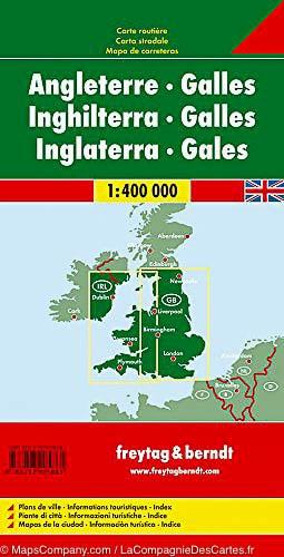
Detailed map of England and Wales published by Freytag & Amp Berndt. Relief mapping, indication of points of interest and index of cities included. The distances are indicated on this map.
This detailed map of England and Wales is 1/400,000 (1 cm = 4 km).
ISBN/EAN : 9783707905861
Publication date: 2017
Scale: 1/400,000 (1cm=4km)
Printed sides: both sides
Folded dimensions: 25.5 x 13 x 0.8cm
Language(s): multilingual including French
Weight:
200 g


