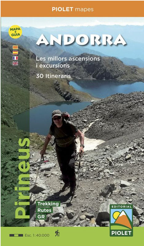
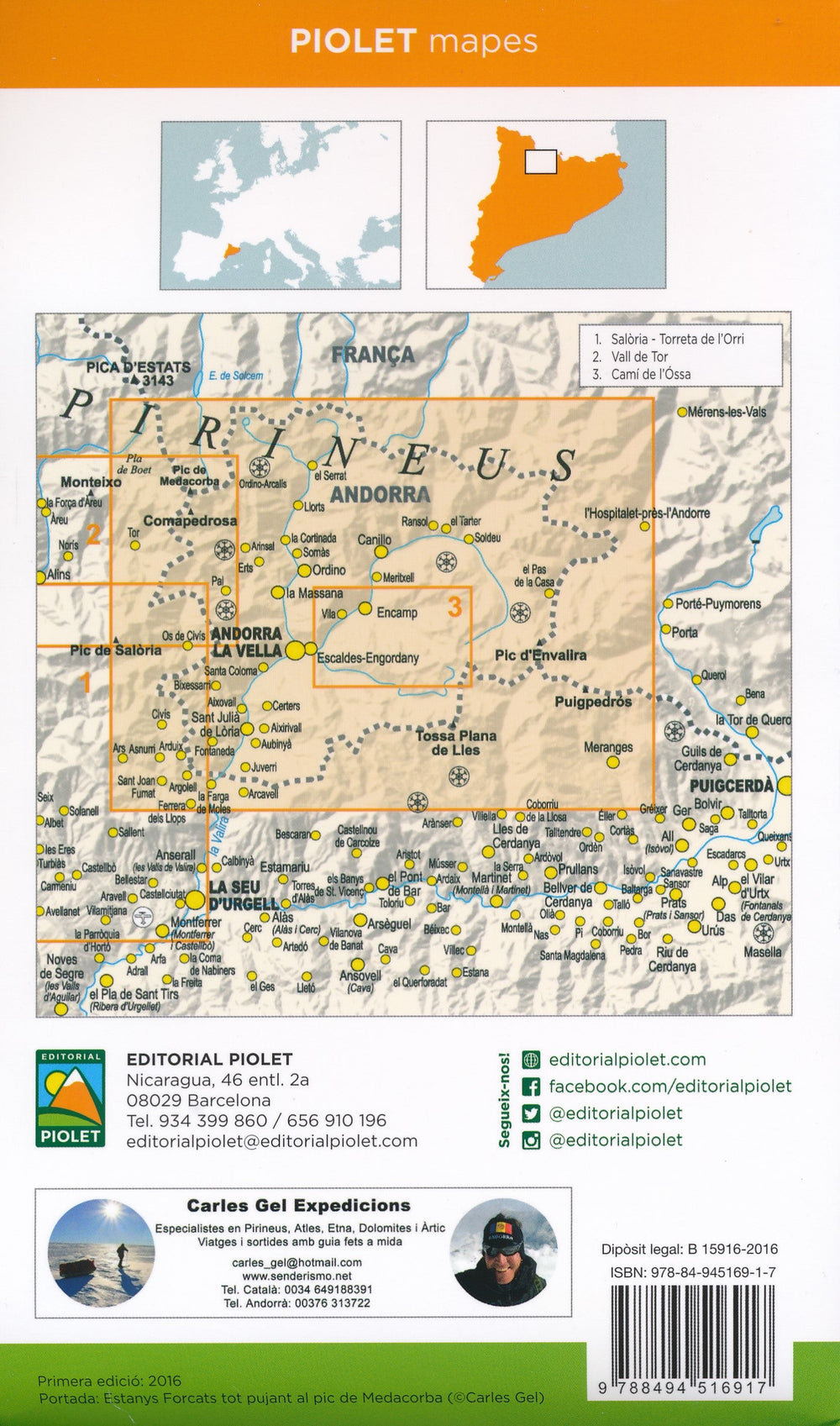
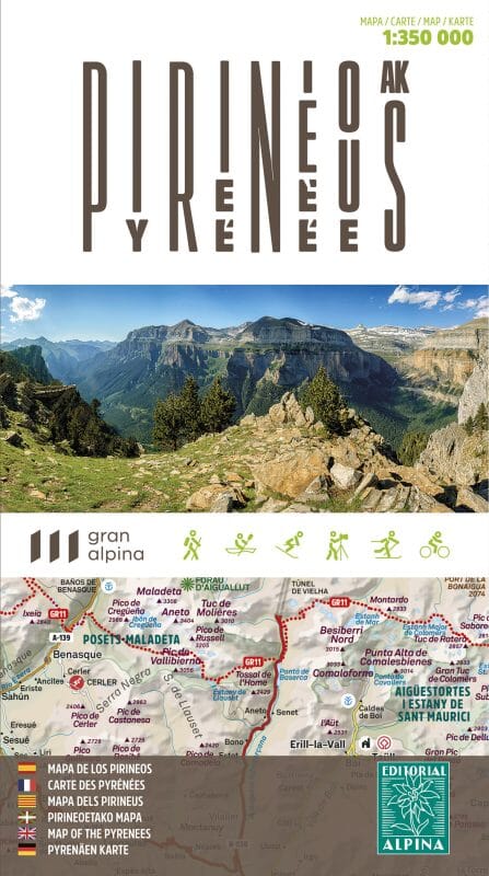
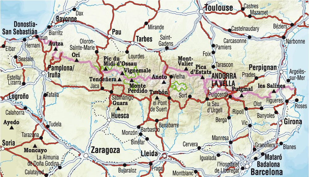
Carte de randonnée & Guide d'excursions - Andorre | Piolet carte pliée Editorial Piolet

Hiking Map & Tour Guide - Andorra | Ice

Hiking Map & Tour Guide - Andorra | Ice

Regular price $17.00
/
  • Shipping within 24 working hours from our warehouse in France
  • Delivery costs calculated instantly in the basket
  • Free returns (*)
  • Real-time inventory
  • In stock, ready to ship
  • Backordered, shipping soon
Tax included.

Topographic Map of Andorra and hiker's guide (multilingual, in 4 languages) containing all the information necessary for hiker.
The guide presents 30 routes, grouped into climbs and hikes that allow to discover the region under all his facets. Each route is described in detail and includes a technical sheet that includes an altitude profile, duration, difficulty and equipment needed to perform each excursions.
The guide is complemented by photographs of the most emblematic places of Each route.
on the 1/40,000-scale map, all the routes described in the guide are represented, as well as the trail network that travels the territory.


ISBN/EAN : 9788494516917
Publication date: 2016
Scale: 1/40,000 (1cm = 400m)
Folded dimensions: 12x21cm
Language(s): French, Castilian, Catalan English
Poids : 160 g

Customer Reviews

Based on 1 review
100%
(1)
0%
(0)
0%
(0)
0%
(0)
0%
(0)
J
Jerome E. (Montpellier, FR)
Super carte

Super carte, je recommande.