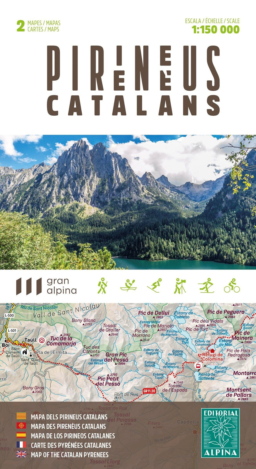
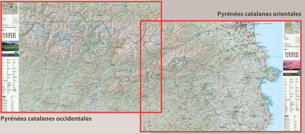
Detailed hiking map of the Val Aran region (Catalan Pyrenees, Spain).
Map sector: Western Catalan Pyrenees. Area of Val Aran and around.
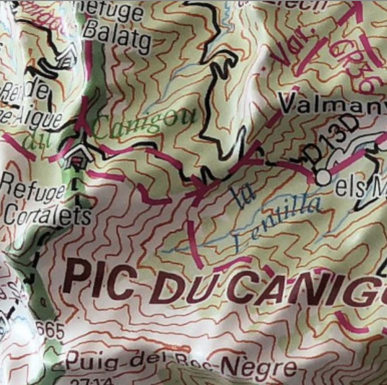
The detailed map, published by Editorial Alpina, is in color with the level curves. Indication of marked trails (gr, pr), trails, shelters, waterfalls, etc.
The map comes with a folder including: Scale 1/40 000 (1 cm = 400 m).
• Refuges kept
• Hiking
• Geographic information
• Top14: points of interest.
ISBN/EAN : 9788470111891
Publication date: 2025
Scale: 1/40,000 (1cm=400m)
Printed sides: front
Folded dimensions: 21 x 11.5 x 0.5cm
Unfolded dimensions: 97 x 82cm
Language(s): French, English, Castilian, Catalan
Weight:
148 g


