Hiking & Guide Map - Crossing Three Refuges, Carança-Ulldeter-Coma de Vaca (Catalan Pyrenees) | Alpina

Price
Regular price $17.00
Regular price Sale price $17.00
Save $-17
/
  • Shipping within 24 working hours from our warehouse in France
  • Delivery costs calculated instantly in the basket
  • Free returns (*)
  • Real-time inventory
  • In stock, ready to ship
  • Backordered, shipping soon
Tax included.

Often purchased together:

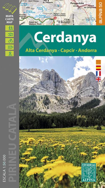
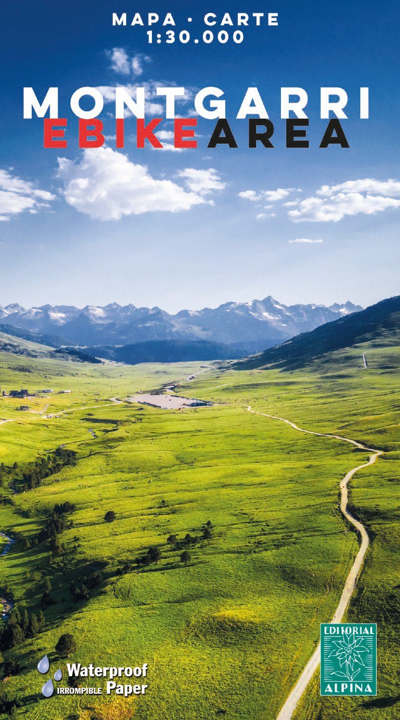
Hiking Map and guide of the crossing of the 3 refuges of the Spanish publisher Alpina.

The crossing of the three shelters is a fantastic hike to discover unforgettable sites in the East Pyrenees. It allows to discover abundant wildlife, superb flowers, spectacular gorges, isolated lakes, beautiful forests and lifetime rivers. At the end of each step, you will experience one night's experience in a guarded refuge and resume forces for the next day. The total altitude of the crossing is more than 3,000 meters. For the more sports, the steps can be supplemented by the rise of the summits of the region: the peaks of Balandrau, Bastiments, Gra de Fajol, Gallinas, Torreneules and Puigmal, for a total altitude of more than 6,000 meters.

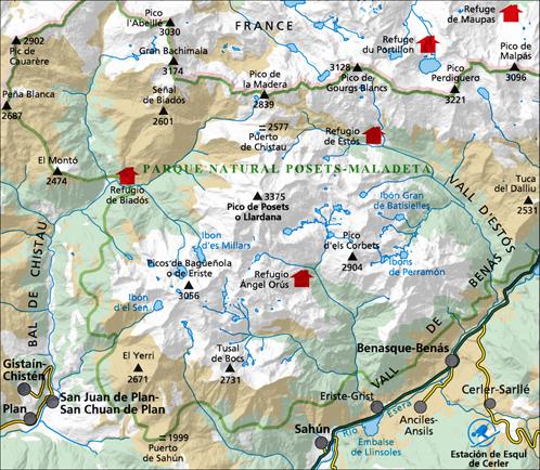
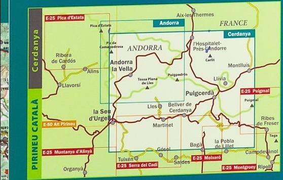
The regions of the Ripollès and Upper Conflent, east of the Pyrenees chain, offer a wild territory predominated by the high mountain. It is a very well preserved natural space with great biodiversity. It is in these isolated sites that the Ulldeter shelters, the caranca and Vaca coma can be connected by following the three shelters.
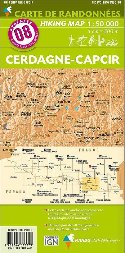
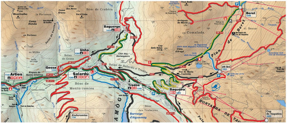
Equidistance contours spaced 10 m
• Master outlines spaced 50 m
• Shaded relief
• Compatible with GPS
• Marked routes < / p>

NB: the guide attached to the map is in French (and not in English as mentioned on the cover).


ISBN/EAN : 9788480909624
Publication date: 2023
Scale: 1/25,000 (1cm=250m)
Printed sides: front
Folded dimensions: 21 x 12.5cm
Unfolded dimensions: 98 x 68cm
Language(s): French, Castilian, English
Weight: 150 g

Customer Reviews

Be the first to write a review
0%
(0)
0%
(0)
0%
(0)
0%
(0)
0%
(0)
Cartes de randonnée (lot de 2) - Parc National d'Ordesa & Mont Perdu (Pyrénées aragonaises) | Alpina carte pliée Editorial Alpina
2 Cartes de randonnée du Parc National d'Ordesa &amp; Mont Perdu (Pyrénées, Espagne) | Alpina - La Compagnie des Cartes
Set of 2 Hiking maps - Ordesa & Mont Lost National Park (Aragonese Pyrenees) | Alpina
Editorial Alpina
$20.00
Sold Out
Carte de randonnée - Minorque (îles Baléares) | Alpina carte pliée Editorial Alpina
Hiking map - Menorca (Balearic, Spain) | Alpina
Editorial Alpina
$17.00
Carte de randonnée - Parc National Aigüestortes & lac Saint-Maurice (Pyrénées catalanes) | Alpina carte pliée Editorial Alpina 2020
Carte de randonnée - Parc National Aigüestortes & lac Saint-Maurice + Guide (Catalogne) | Alpina carte pliée Editorial Alpina
Hiking map - Aigüestortes & Lake Saint - Maurice National Park (Catalan Pyrenees) | Alpina
Editorial Alpina
$20.00
Lot de 4 Cartes de randonnée (imperméables) - Serra de Tramuntana , GR221 (Majorque, Baléares) | Alpina carte pliée Editorial Alpina
Set of 4 Hiking maps (waterproof) - Serra de Tramuntana (Majorca, Balearic) | Alpina
Editorial Alpina
$28.00