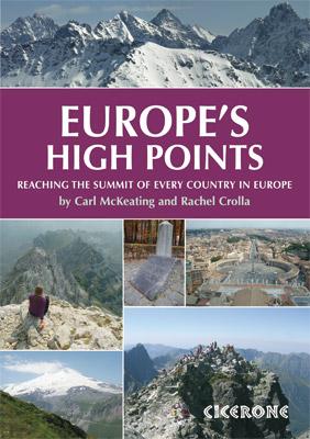
Hiking guide - Europe's High Points | Cicerone

Price
Regular price $22.00
Regular price Sale price $22.00
Save $-22
/
  • Shipping within 24 working hours from our warehouse in France
  • Delivery costs calculated instantly in the basket
  • Free returns (*)
  • Real-time inventory
  • Low stock - 2 items left
  • Backordered, shipping soon
Tax included.

Often purchased together:

Pocket Topoguide (English) of the Cicerone Editor with detailed sheets to discover the peaks of Europe.

Description provided by the publisher:
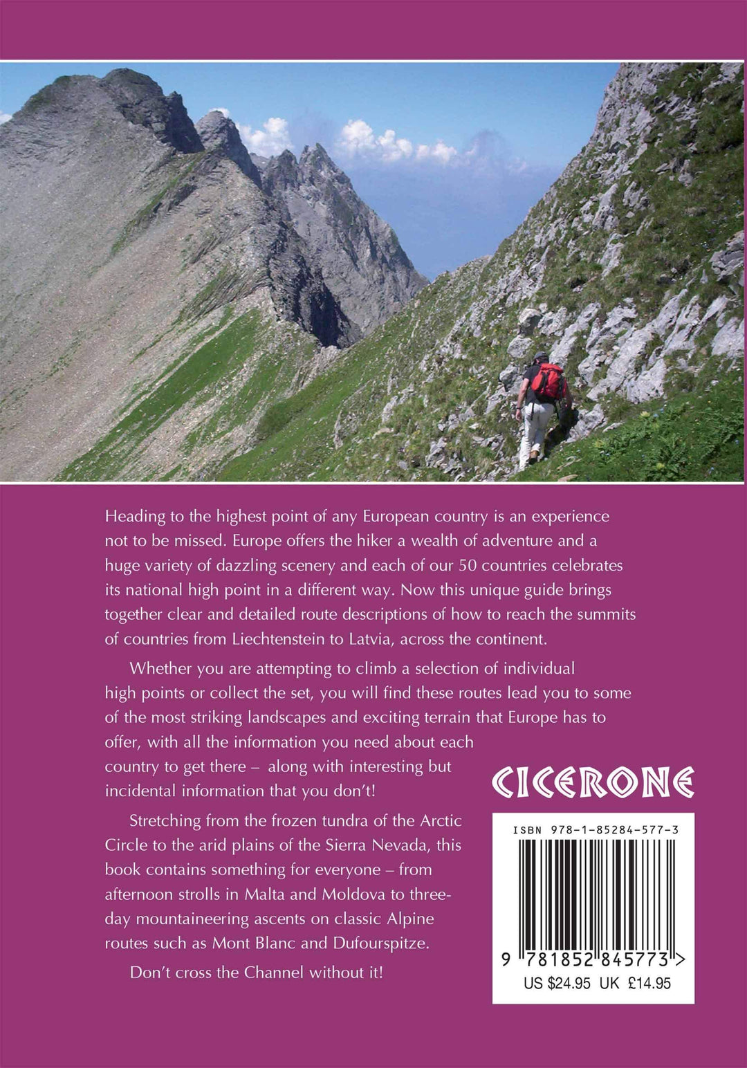
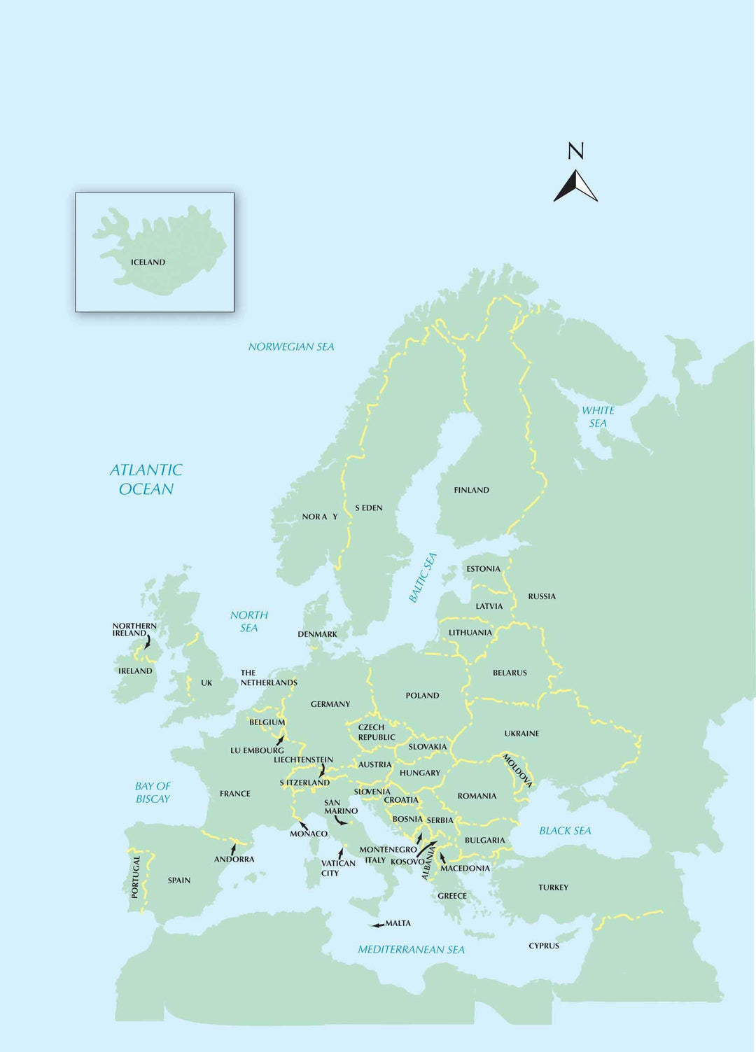
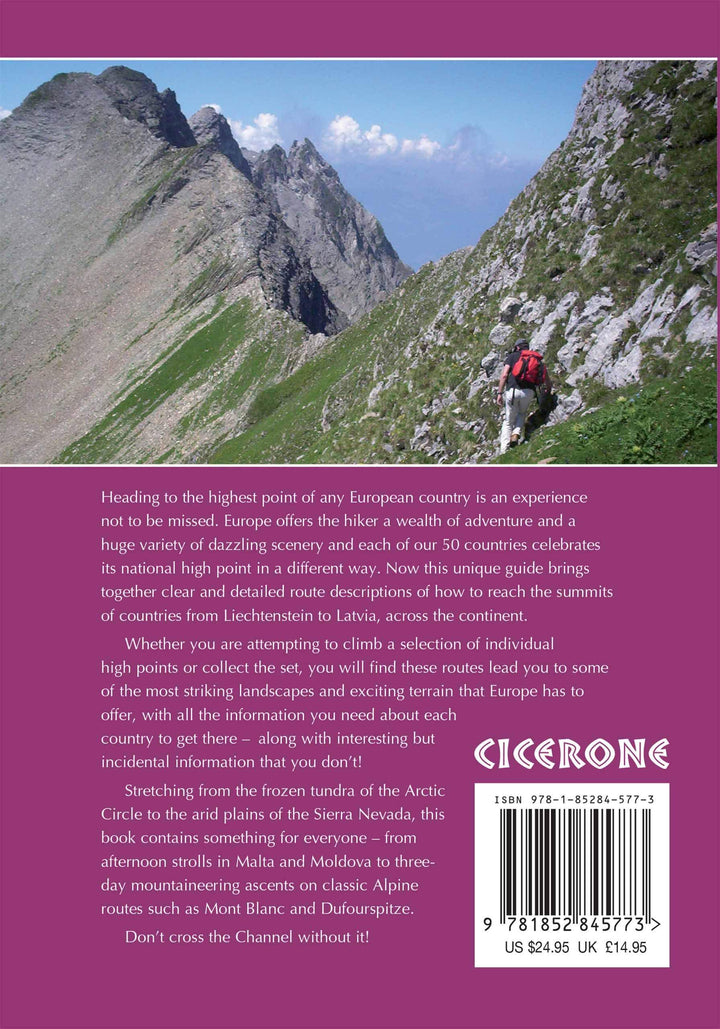
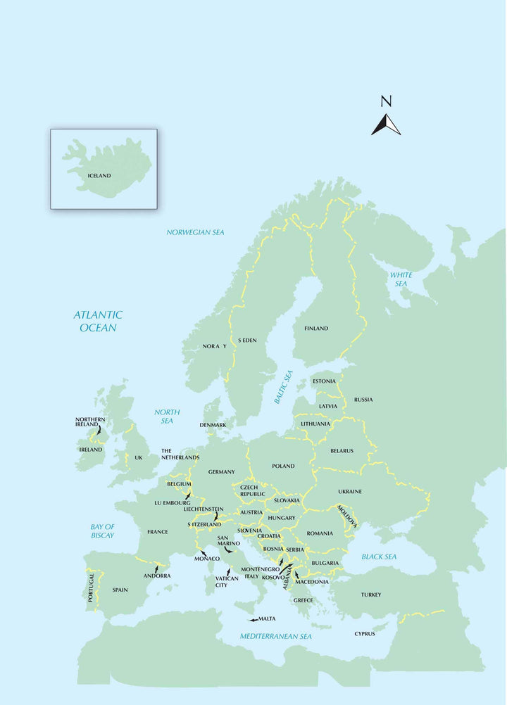
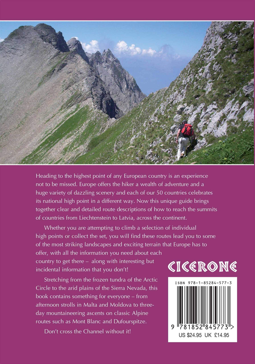
A Guide to Reaching The Summit of Every Country in Europe - Driving, Walking and Climbing Routes to The Tops of 50 Countries in Europe. Detailed Route Descriptions, Sketch Maps - Advice On Transport, Seasons, Grading and Gear. From Afternoon Strolls in Malta to Three - Day Mountaineering Ascences on Classic Alpine Routes Such As Mont Blanc.
Difficulty: From Simple Sightseeing (EG Vatican City) to Serious Alpine Climbs (Mont Blanc) - All Routes Clearly Graded and Equipment Required Given
Must See: For The Authors, IT Was HvannaDalshnukur in Iceland But Each Reader Will Have Their Personal Favorite. Scafell Pike (England)? Mount Elbrus (Russia)? Rysy (Poland)?


ISBN/EAN : 9781852845773
Publication date: 2018
Folded dimensions: 15x21cm
Language(s): English
Weight: 491 g

Customer Reviews

No reviews yet
0%
(0)
0%
(0)
0%
(0)
0%
(0)
0%
(0)
Carte routière - Alpes | National Geographic carte pliée National Geographic
Road map - Alps | National Geographic
National Geographic
$17.00
Carte routière - Alpes | Reise Know How carte pliée Reise Know-How
Road map - Alps | Reise Know How
Reise Know-How
$14.00
Carte routière - Alpes | Freytag & Berndt carte pliée Freytag & Berndt
Road map - Alps | Freytag & Berndt
Freytag & Berndt
$14.00