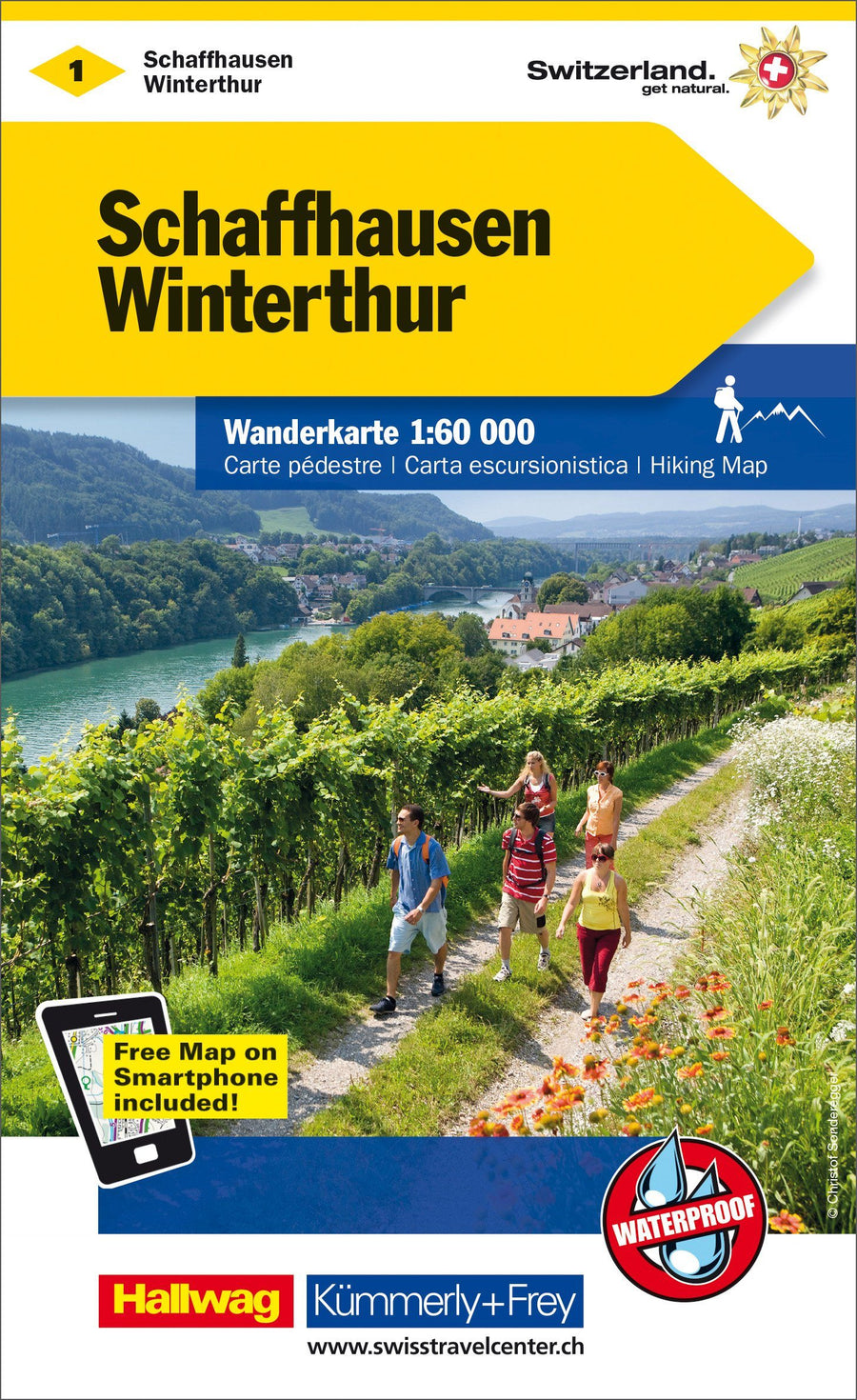
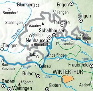
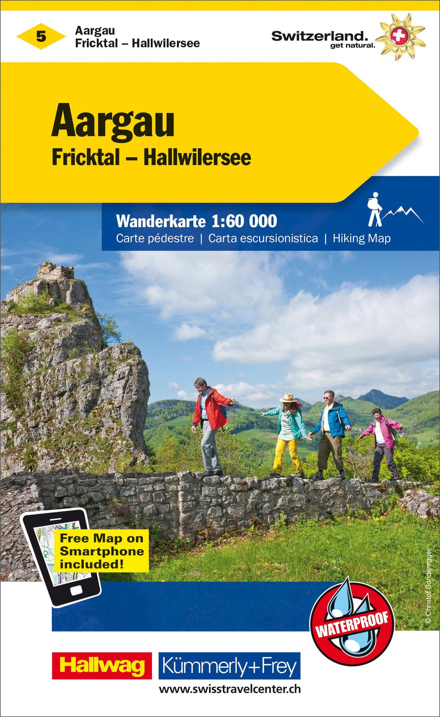
Hiking map # WK.01 - Schaffhausen, Winterthur (Switzerland) | Kümmerly & Frey

Price
Regular price $21.00
Regular price Sale price $21.00
Save $-21
/
  • Shipping within 24 working hours from our warehouse in France
  • Delivery costs calculated instantly in the basket
  • Free returns (*)
  • Real-time inventory
  • Low stock - 1 item left
  • Backordered, shipping soon
Tax included.

Often purchased together:

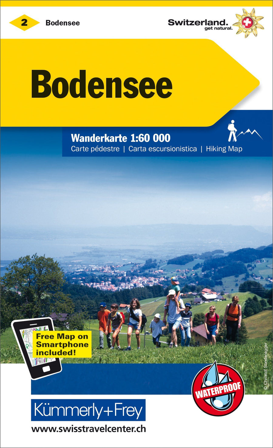
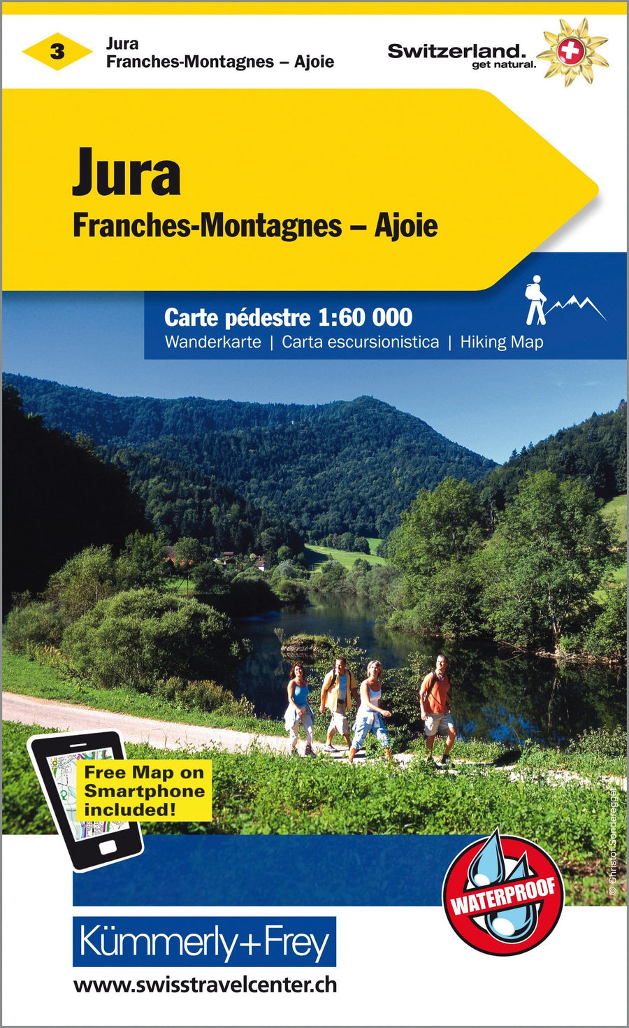
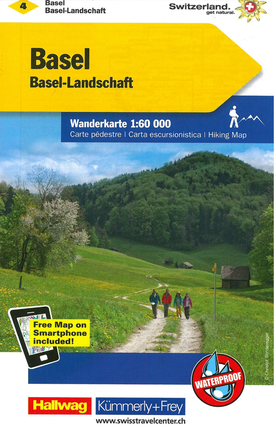
Waterproof and tearful hiking map from Switzerland.
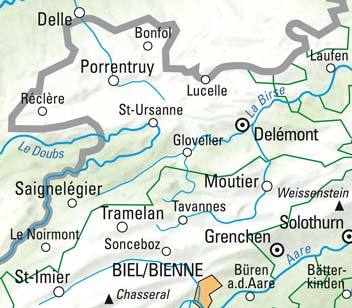
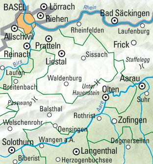
In collaboration with cantonal and local hiking organizations, Kümmerly + Frey publishes a series of maps covering the entire Swiss territory. These 33 maps cover the most beautiful races and hiking regions of Switzerland, most of which at 1:60 000 (1 cm = 600 m), scale "ideal" for the promenade. The hikes are classified as "hiking trail", "mountain trail" and "Alpine itinerary". Each map contains useful additional information: housing, meals, bus lines with stops, sport, leisure ... Maps with complete index and access map to the region.
An additional asset: you can download your map for free on your smartphone. Your access code to download the map is on the map.
Legend in French, English, Italian and German.


ISBN/EAN : 9783259022016
Publication date: 2019
Folded dimensions: 25x13cm
Language(s): Multilingual including French
Weight: 82 g

Customer Reviews

No reviews yet
0%
(0)
0%
(0)
0%
(0)
0%
(0)
0%
(0)
New !
Guide de randonnée - Lac Léman (Genève, Chablais, Riviera, Lavaux, La Côte, Jura) | Rother guide de randonnée Rother
Hiking guide - Lake Geneva (Geneva, Chablais, Riviera, Lavaux, The Coast, Jura) | Rother (French)
Rother
$20.00
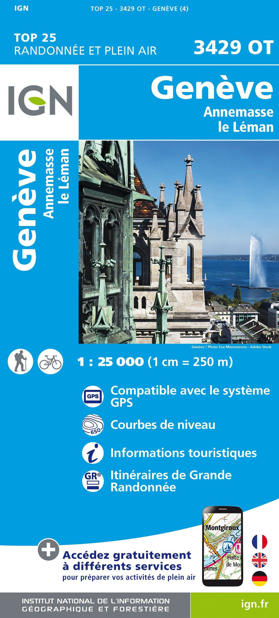
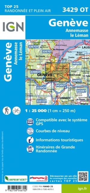
Carte TOP 25 n° 3429 OT - Genève, Anemasse & lac Léman (Alpes) | IGN carte pliée IGN
Top 25 map # 3429 OT - Geneva, Anemanse & Lake Geneva (Alps) | IGN
IGN
$16.00
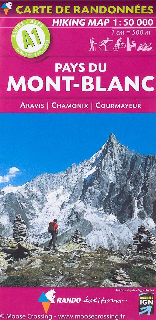
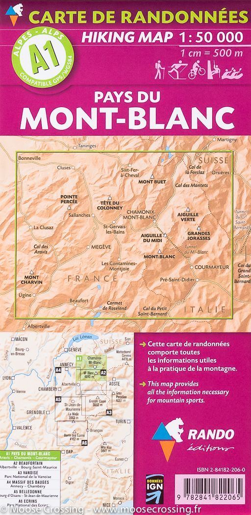
Carte de randonnée du Mont Blanc, A1 | Rando éditions - La Compagnie des Cartes
Hiking map # A1 - Mont Blanc | Rando editions (French)
Rando Editions
$17.00
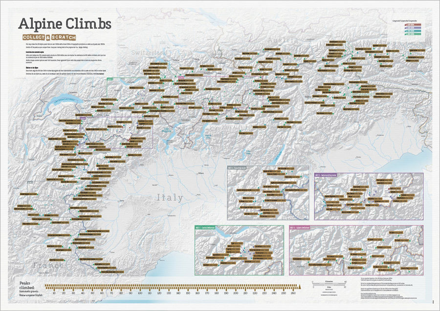
Carte des sommets alpins (avant grattage)
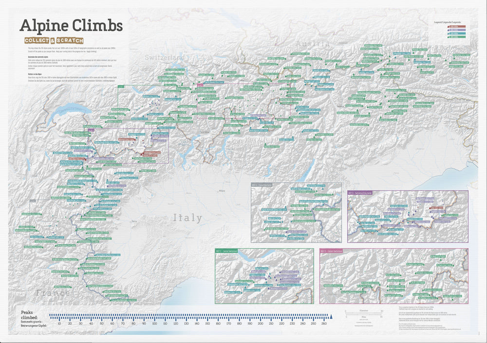
Carte des sommets alpins (après grattage complet)
Scratch Wall map - Summits of the Alps - 84 x 60 cm | Maps International
Maps International
$30.00
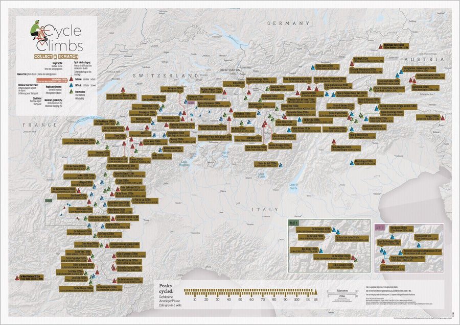
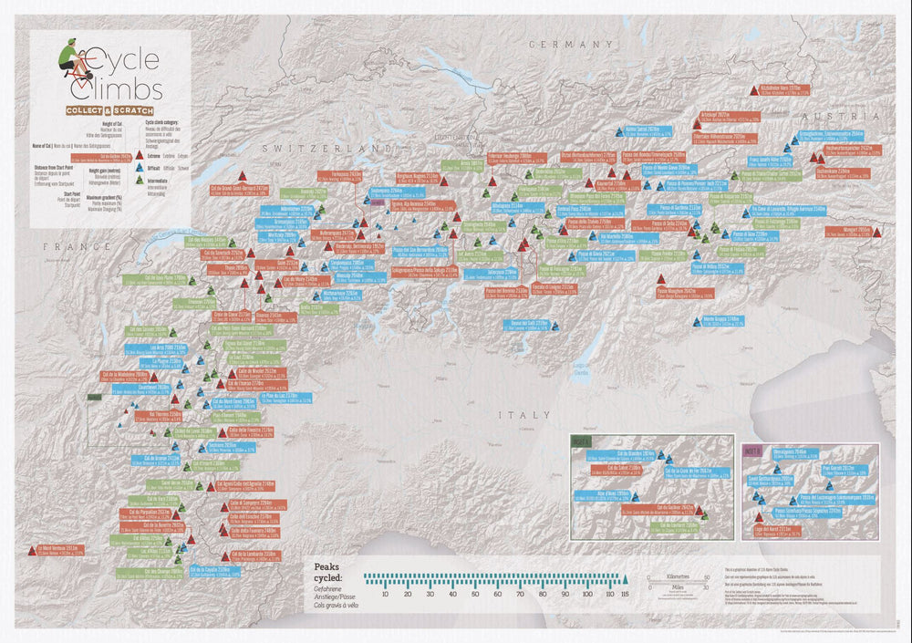
Carte murale à gratter (en anglais) - Les cols des Alpes (pour cyclistes) | Maps International carte murale petit tube Maps International
Scratch Wall map - Alpine Cycle Climbs (for Cyclists) - 69 x 42 cm | Maps International
Maps International
$27.00