Hiking map # 46 - Silvaplana, Bergell (Switzerland) | Kümmerly & Frey - 1 / 40,000

Price
Regular price $18.00
Regular price Sale price $18.00
Save $-18
/
  • Shipping within 24 working hours from our warehouse in France
  • Delivery costs calculated instantly in the basket
  • Free returns (*)
  • Real-time inventory
  • In stock, ready to ship
  • Backordered, shipping soon
Tax included.

Often purchased together:

1:40 000 hiking map that builds the ideal base for planisphere a hiking in the region of Silvaplana, Bergell.
The accurate mapping shows the hiking trails and their classification. Information such as accommodation and restaurants, bus routes with stops, mountain railways, regional parks, curiosities and more are included in the map.
Thanks to the quality of brookry and weather resistant, the map is a faithful companion by all time.
Compatible with GPS, 25 - meter level curves.


ISBN/EAN : 9783259023464
Publication date: 2020
Scale: 1/40,000 (1cm=400m)
Folded dimensions: 11x20cm
Language(s): French, English, German, Italian
Weight: 82 g

Customer Reviews

No reviews yet
0%
(0)
0%
(0)
0%
(0)
0%
(0)
0%
(0)
New !
Guide de randonnée - Lac Léman (Genève, Chablais, Riviera, Lavaux, La Côte, Jura) | Rother guide de randonnée Rother
Hiking guide - Lake Geneva (Geneva, Chablais, Riviera, Lavaux, The Coast, Jura) | Rother (French)
Rother
$20.00
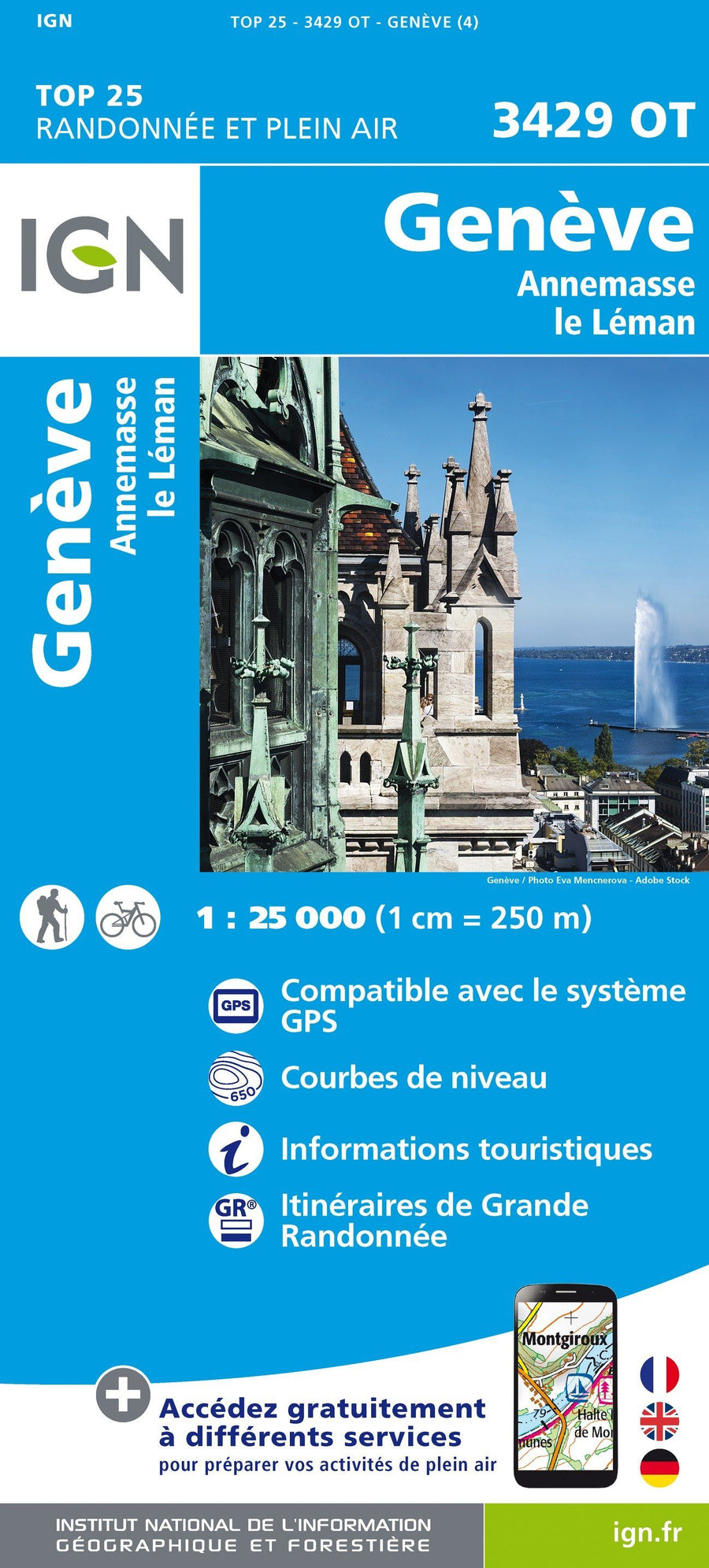
Carte TOP 25 n° 3429 OT - Genève, Anemasse & lac Léman (Alpes) | IGN carte pliée IGN
Top 25 map # 3429 OT - Geneva, Anemanse & Lake Geneva (Alps) | IGN
IGN
$16.00
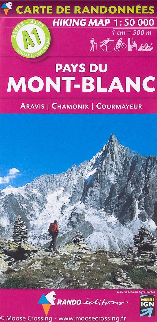
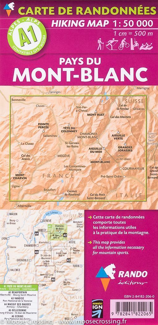
Carte de randonnée du Mont Blanc, A1 | Rando éditions - La Compagnie des Cartes
Hiking map # A1 - Mont Blanc | Rando editions (French)
Rando Editions
$17.00
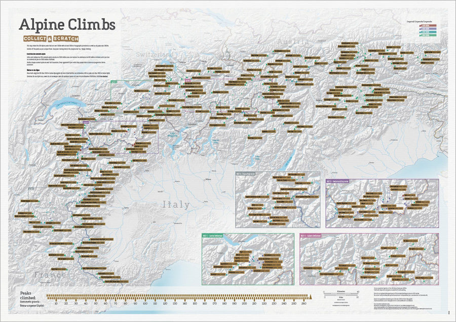
Carte des sommets alpins (avant grattage)
Carte des sommets alpins (après grattage complet)
Scratch Wall map - Summits of the Alps - 84 x 60 cm | Maps International
Maps International
$30.00
Carte murale à gratter (en anglais) - Les cols des Alpes (pour cyclistes) | Maps International carte murale petit tube Maps International
Scratch Wall map - Alpine Cycle Climbs (for Cyclists) - 69 x 42 cm | Maps International
Maps International
$27.00