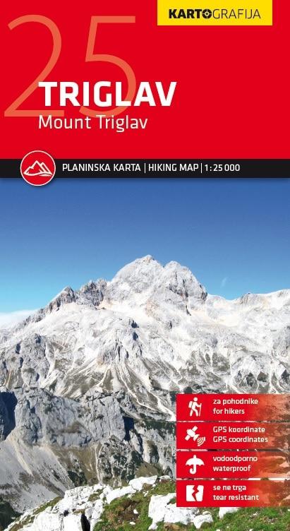
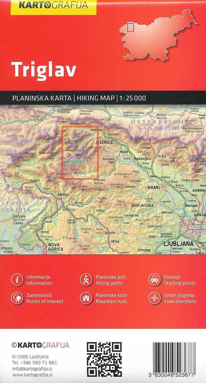
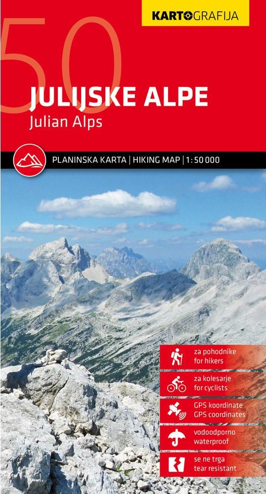
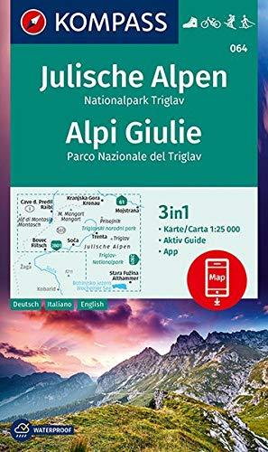
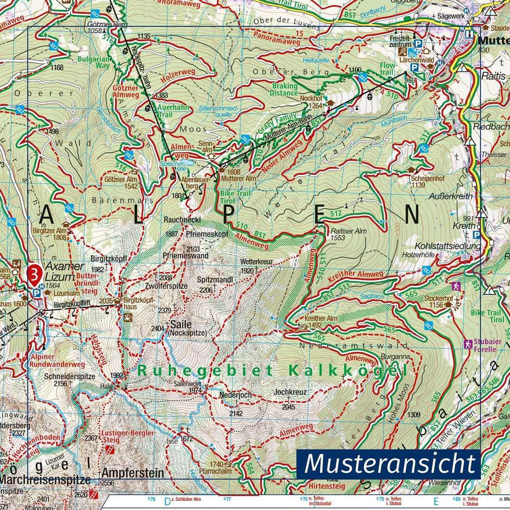
Triglav hiking map (culminating point of Slovenia and Julian Alps). Indication of marked trails (divided by difficulty), mountain shelters, points of interest, bus stops, car parks etc.
On the back, description of mountain shelters with coordinates, photo and map. GPS points included.
This map is printed on a waterproof paper and does not tear with moisture.
1/25 000 scale (1 cm = 250 m).
ISBN/EAN : 3830048523677
Publication date: 2019
Scale: 1/25,000 (1cm=250m)
Printed sides: both sides
Folded dimensions: 12.5 x 23cm
Unfolded dimensions: 99 x 68cm
Language(s): English, Slovenian
Poids :
75 g


