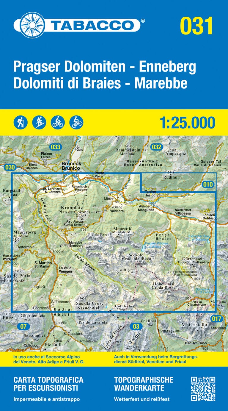
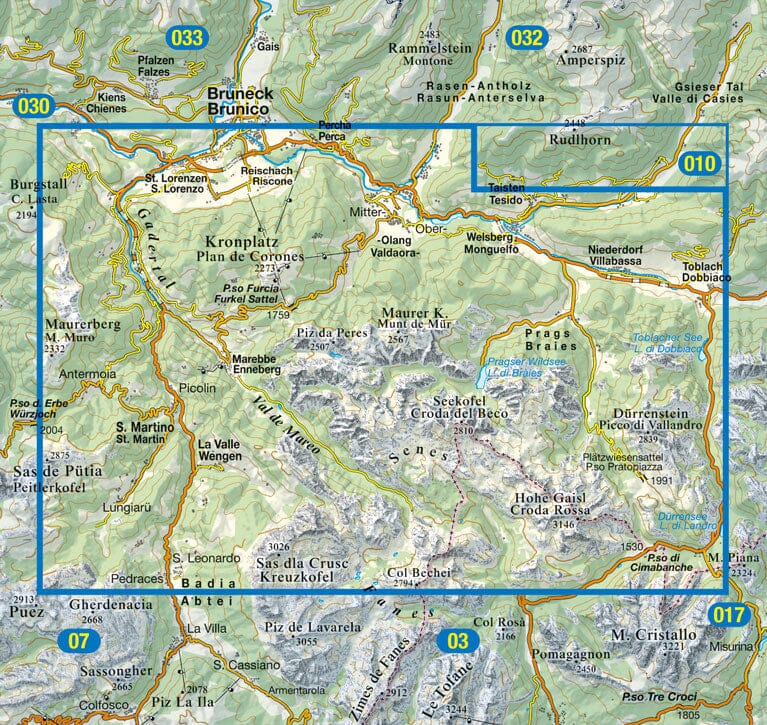
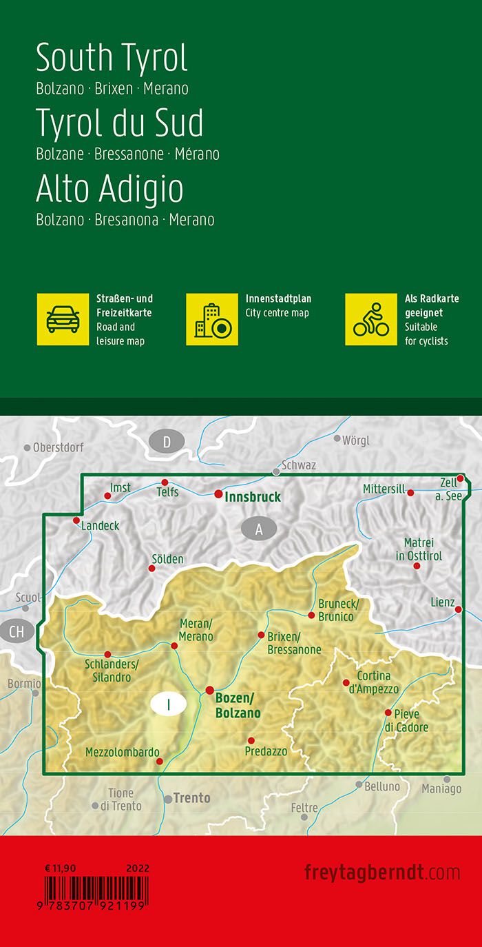
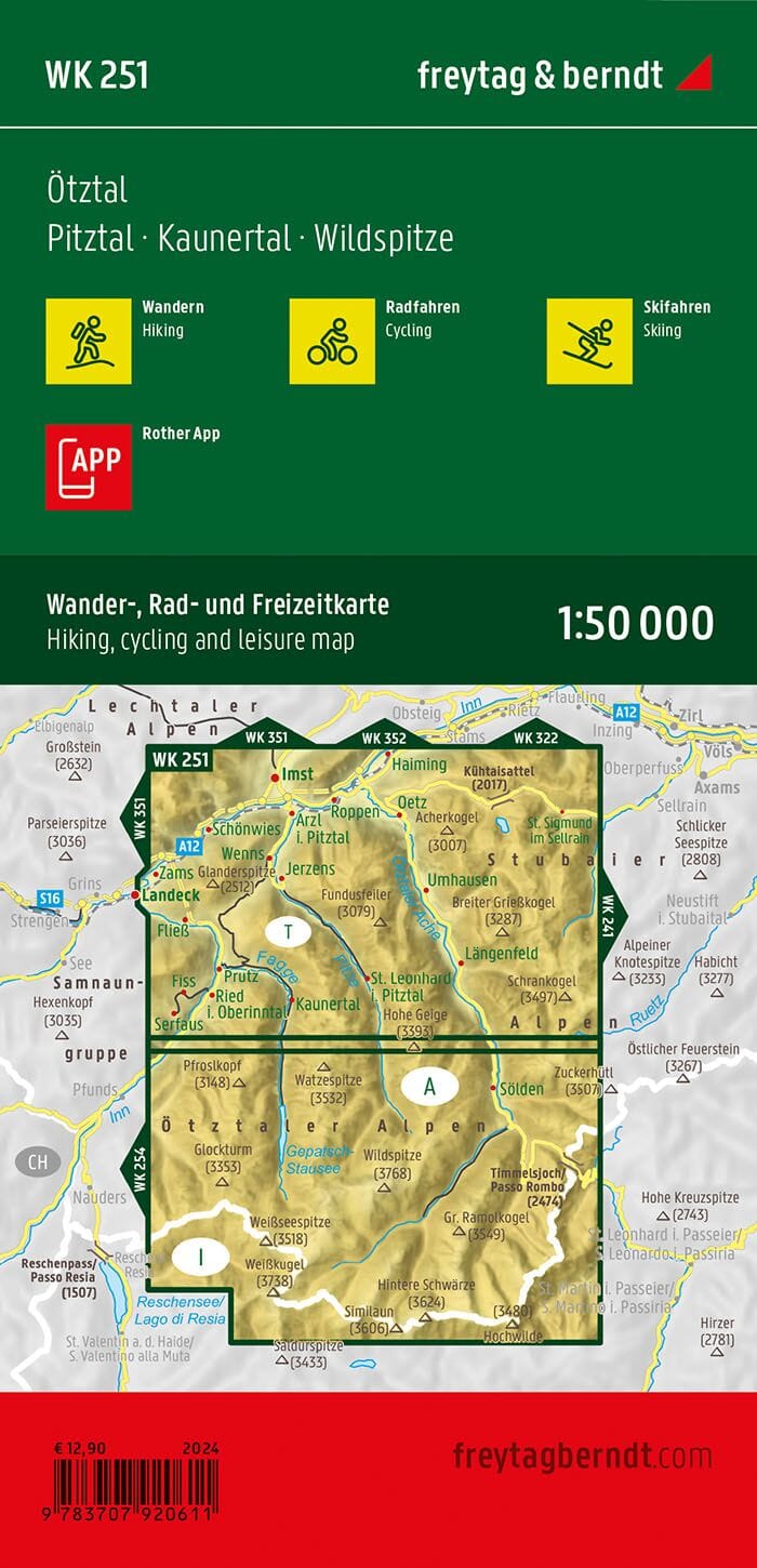
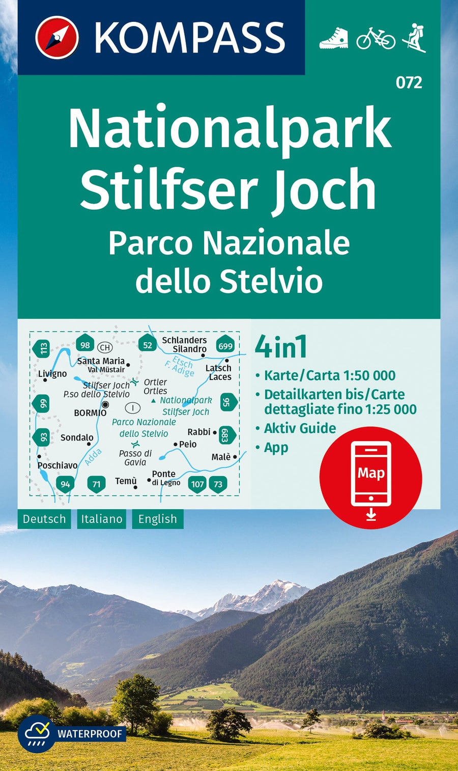
1:25,000 topographic map of the p Fanes-Sennes-Braie natural arch, ideal for hiking.
The front side presents a detailed map of the park's territory, while the back offers essential information on the landscapes crossed.
ISBN/EAN : 9788883152023
Publication date: 2025
Scale: 1/25,000 (1cm=250m)
Printed sides: both sides
Folded dimensions: 14x22cm
Language(s): English, Italian, German
Weight:
147 g


