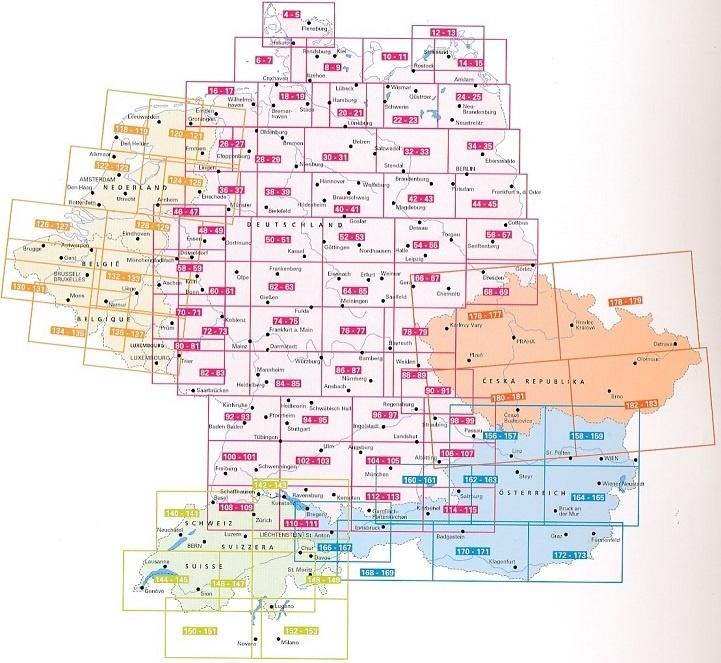
The map of long-distance hiking trails in Germany is ideal for specifically planning your next long-distance hike. Whether in short stages or in one piece, alone, as a couple, or in a group, German nature can be wonderfully explored along long-distance hiking trails.
In addition to the 30 trails of St. Jacques , all the long-distance trails hiking are well known safe marked. These are, for example: Goldsteig, 66-Seen-Wanderweg, Heidschnuckenweg, Altmühltal Panoramaweg, Eifelsteig, Kammweg, Moselsteig, Rennsteig, Hermannsweg, Baltic Sea coastal hiking trail, etc.
Contents of the long distance hiking trail map in Germany
- German Long-Distance Hiking Trails
- European Long-Distance Hiking Trails
- Way of St. James
- GPX Tracks to Download
- Scale 1:800,000
- Waterproof and Tear-Resistant
- 61 x 90 cm, printed on both sides
ISBN/EAN : 9783707919639
Publication date: 2021
Scale: 1/800,000 (1cm=8km)
Folded dimensions: 25.5 x 13cm
Language(s): German English
Weight:
90 g


