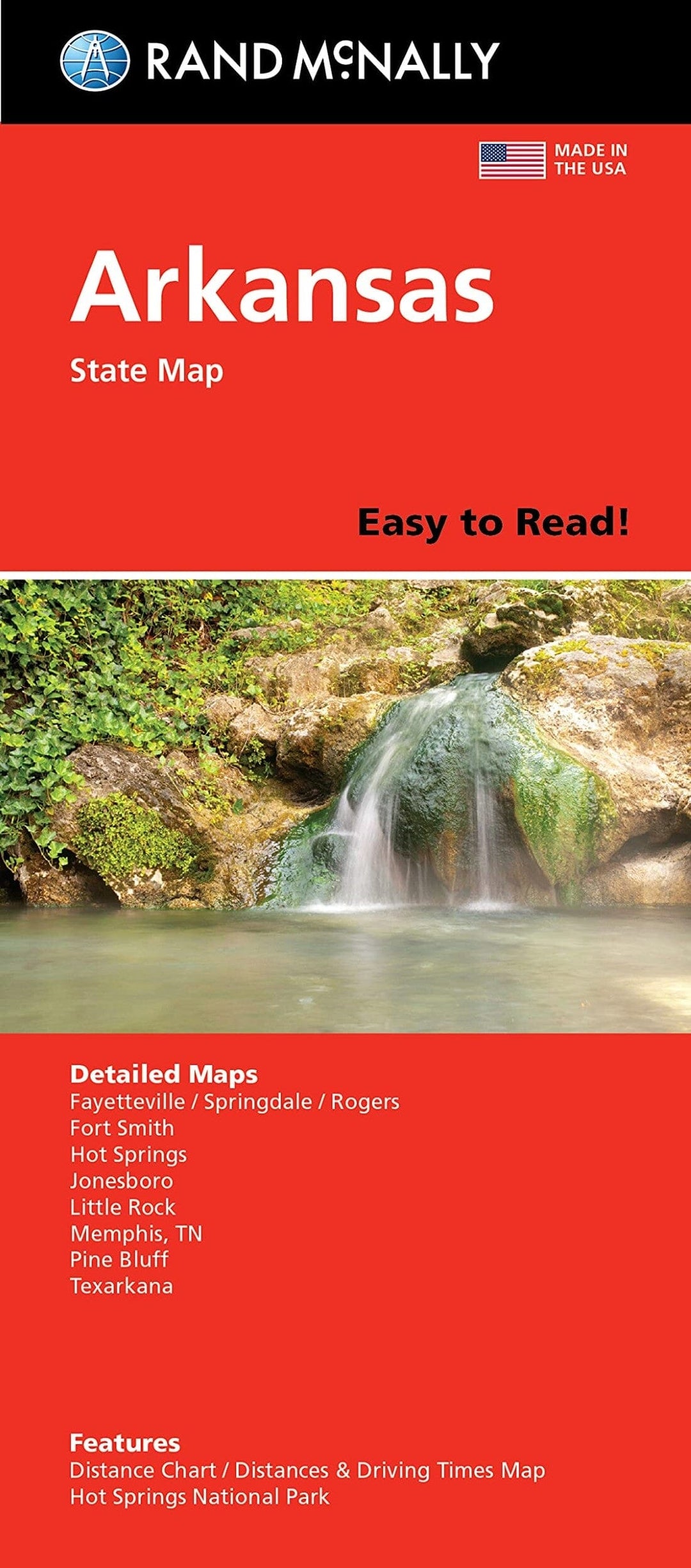
Arkansas, carte facile à lire | Rand McNally carte pliée Rand McNally

Arkansas, Easy-to-Read Map | Rand McNally

Price
Regular price $12.00
Regular price Sale price $12.00
Save $-12
/
  • Shipping within 48 business hours from our warehouse in the USA. For this product, customs fees may be requested by the carrier upon delivery.
  • Delivery costs calculated instantly in the basket
  • Free returns (*)
  • Real-time inventory
  • In stock, ready to ship
  • Backordered, shipping soon
Tax included.

Often purchased together:

Arkansas highway map with legend. City insets of Memphis, Buffalo National River, Little Rock, Hot Springs, downtown Hot Springs, Fayetteville, Springdale, Rodgers, Fort Smith, and Jonesboro. On the reverse side, the main map continues with a city and county index, mileage chart, and mileage and driving time map. Insets of Texarkana and Pine Bluff.


ISBN/EAN : 9780528028311
Publication date: 2021
Folded dimensions: 9.45 inches x 4.33 inches (24 x 10 cm)
Unfolded dimensions: 40.16 inches x 27.95 inches (102 x 70 cm)
Language(s): English
Weight: 1.9 oz

Customer Reviews

Be the first to write a review
0%
(0)
0%
(0)
0%
(0)
0%
(0)
0%
(0)