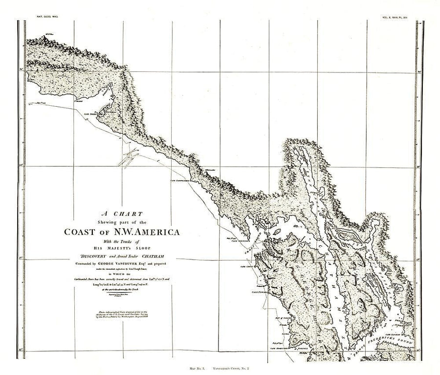
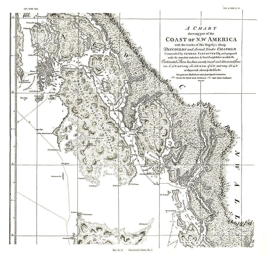
1956 Alaska Map Wall Map

1956 Alaska Map

Price
Regular price $45.00
Regular price Sale price $45.00
Save $-45
/
  • Shipping within 48 business hours from our warehouse in the USA. For this product, customs fees may be requested by the carrier upon delivery.
  • Delivery costs calculated instantly in the basket
  • Free returns (*)
  • Real-time inventory
  • In stock, ready to ship
  • Backordered, shipping soon
Tax included.

Often purchased together:

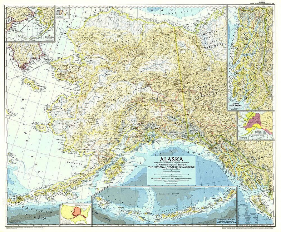
This Alaska map features several detailed insets of such areas as the Inside Passage and the Aleutian Islands. A relative size comparison of Alaska and the United States demonstrates that if the state's westernmost point were superimposed on the California coast, its easternmost point would be on the east coast of South Carolina. Published in June 1956 in the same year that Alaska, then a territory of the United States, ratified its constitution.


ISBN/EAN : 2321680M
Publication date: 1956
Unfolded dimensions: 35in / 28.75in
Language(s): English
Weight: 200 g

Customer Reviews

Be the first to write a review
0%
(0)
0%
(0)
0%
(0)
0%
(0)
0%
(0)
More from Alaska
Carte de voyage de l'Alaska | National Geographic - La Compagnie des Cartes
Carte de voyage - Alaska | National Geographic carte pliée National Geographic
Travel map - Alaska | National Geographic
National Geographic
$17.00
Carte routière USA n° 11 - Alaska | Reise Know How carte pliée Reise Know-How
US Road map # 11 - Alaska | Reise Know How
Reise Know-How
$13.00
Carte de voyage - Alaska | ITM carte pliée ITM
Travel map - Alaska | ITM
ITM
$15.00
Atlas routier de poche – Panaméricaine Nord | ITM - La Compagnie des Cartes
Pocket road atlas - Pan American North | ITM
ITM
$18.00