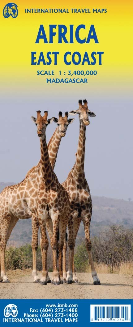
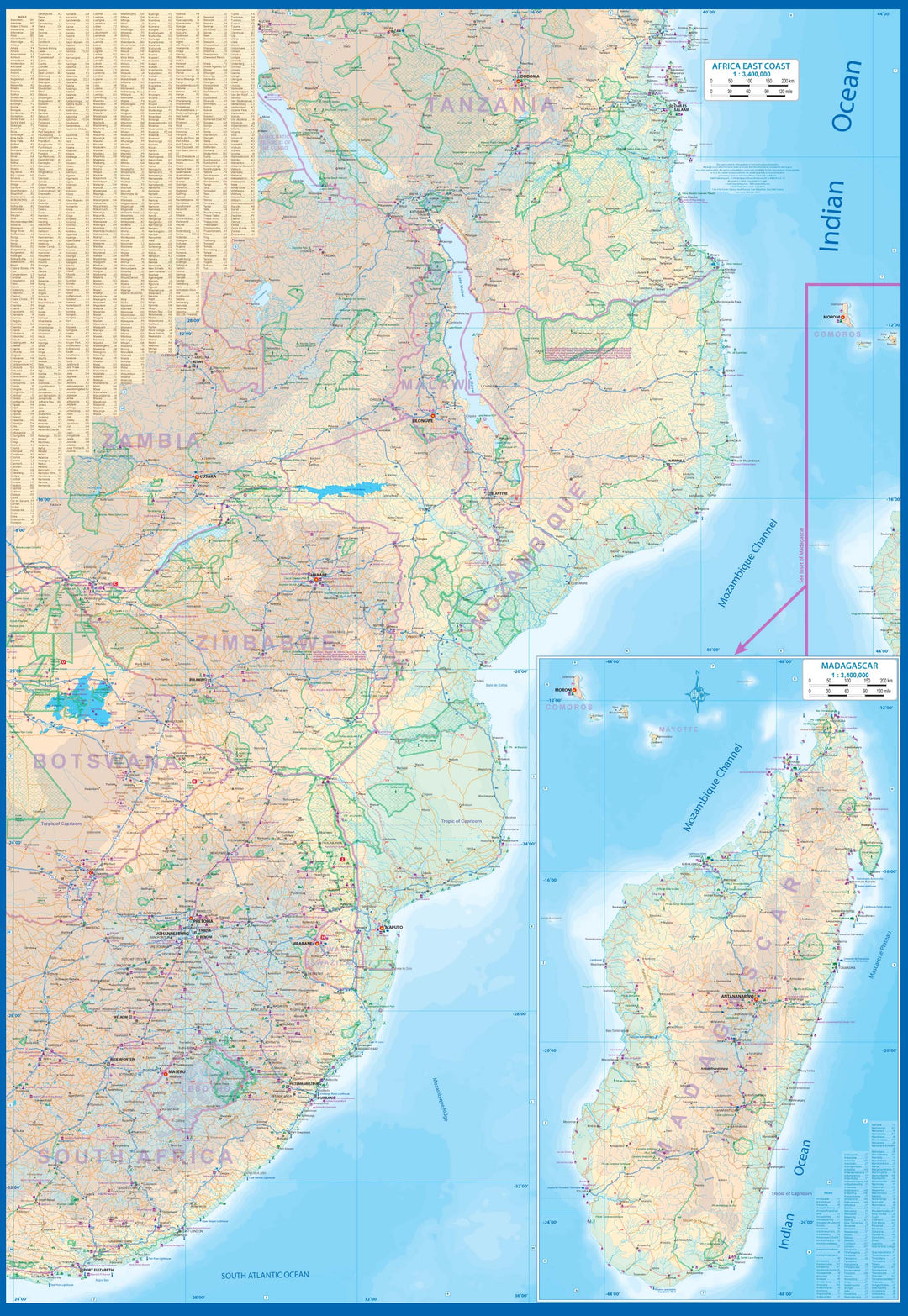
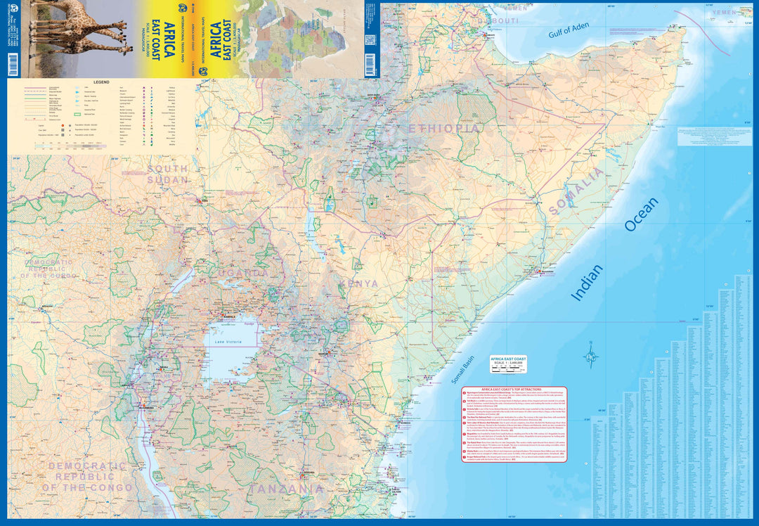
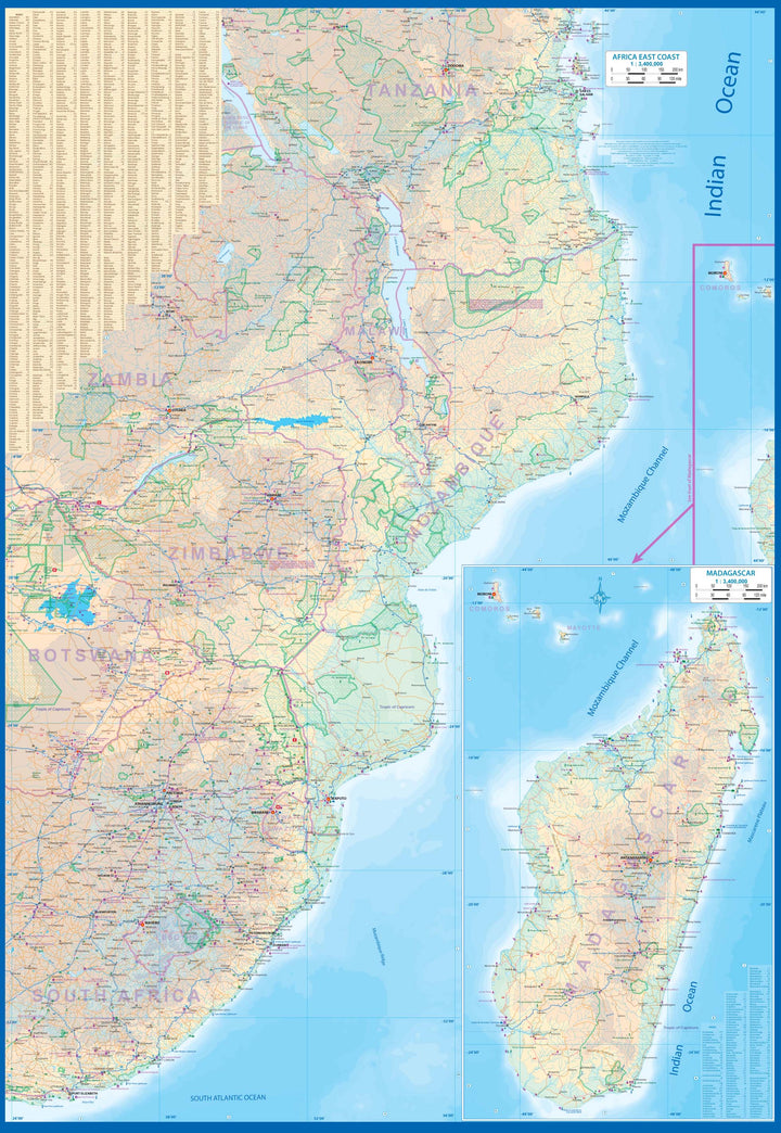
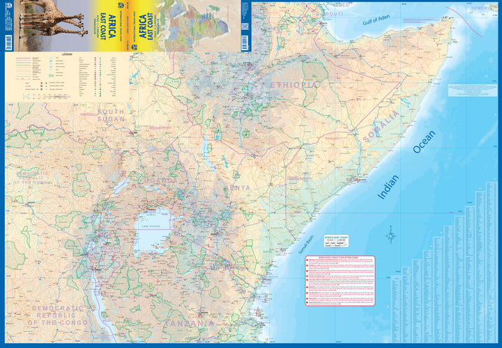
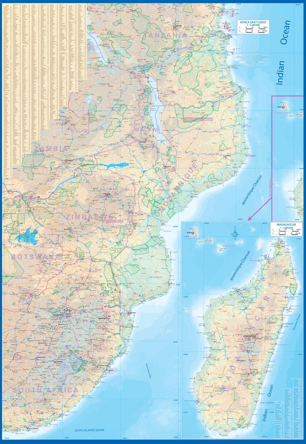
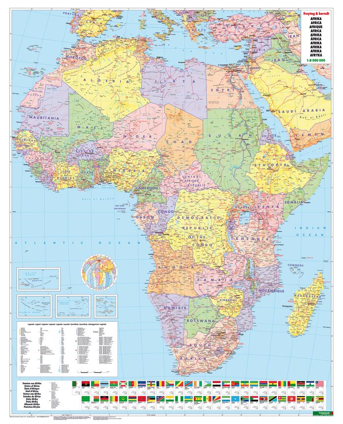
This double - sided map of East Africa encompasses a vast region, including all of Djibouti, Somalia, Kenya, Uganda, Tanzania, Rwanda, Burundi, Mozambique, Malawi, Zimbabwe, Lesotho and Swaziland, as well as an inset map of Madagascar.
Large parts of several other countries are included, such as South Africa and southern Ethiopia. This is a great map for anyone traveling overland from Nairobi to Cape Town. All road and rail routes are indicated, as well as major tourist attractions, national parks and game reserves.
A list of major attractions is included, noting Ngorogoro, Kruger, Victoria Falls, and lesser - known attractions such as the Tuli Block and Sibebe Rock.
ISBN/EAN : 9781771290234
Publication date: 2022
Scale: 1/3,400,000 (1cm=34km)
Printed sides: both sides
Folded dimensions: 24.6 x 10.3 x 0.5cm
Unfolded dimensions: 100 x 68cm
Language(s): English
Weight:
56 g


