Travel map covering the Philadelphia area with Florida Keys and until
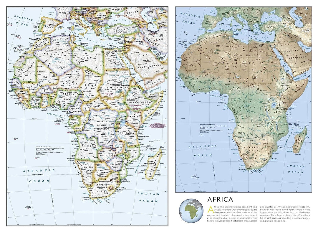
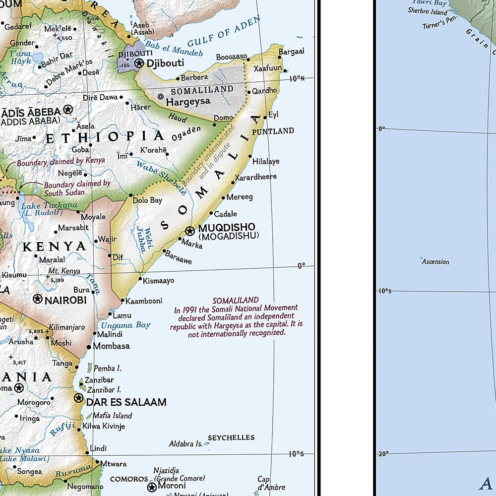
Mississippi River in the West. The main map displays the complete inter-states road network, with milestone tags and toll road designations and free access, as well as small highways and county roads. Points of interest, national parks and forests, airports and state capitals are clearly identified. A cities index will help you quickly locate your destination.
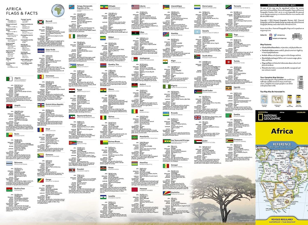
More than 20 metropolitan areas are on inserted maps, providing additional details on the road network and the points of interest of each zone. Intercalary maps are also provided for National Parks of Everglades, Shenandoah and Great Smoky Mountains. Travel information is given on the deep southern, southern southern, southern parts of the Appalaches and Chesapeake Bay, Florida and many national parks.
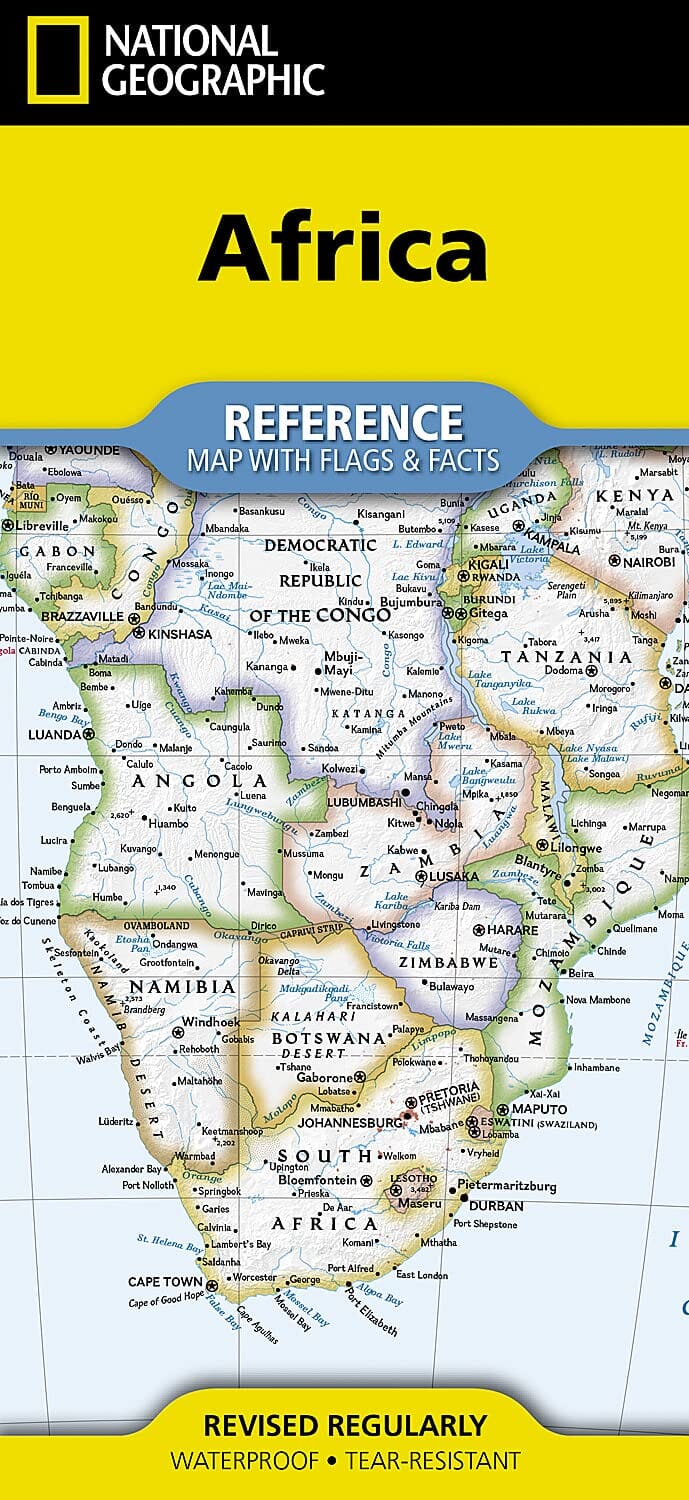
This map is waterproof and tearing resistant .
Our opinion: Practical map for planisphere but insufficient to move on site.
ISBN/EAN : 9781566959292
Publication date: 2022
Scale: 1/3,800,000 (1cm=38km)
Printed sides: both sides
Folded dimensions: 22.2 x 10.8cm
Unfolded dimensions: 63 x 46cm
Language(s): English
Weight:
43 g


