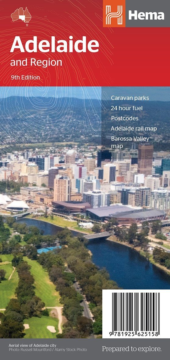
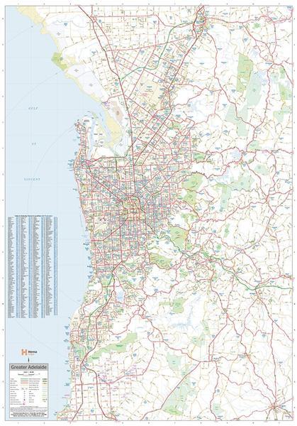
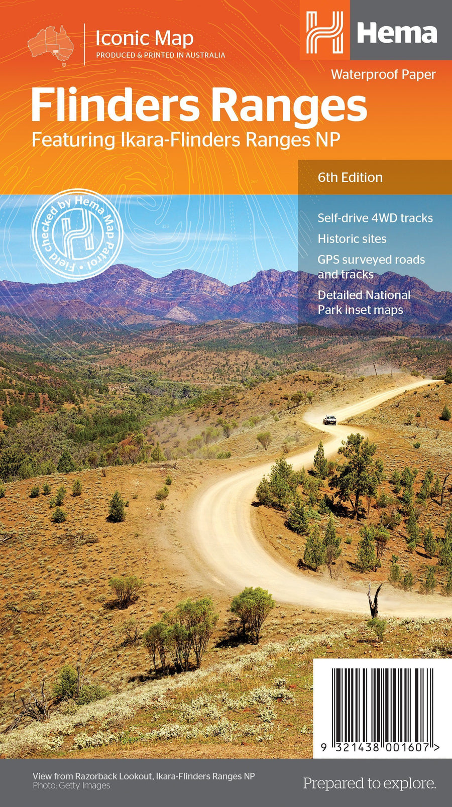
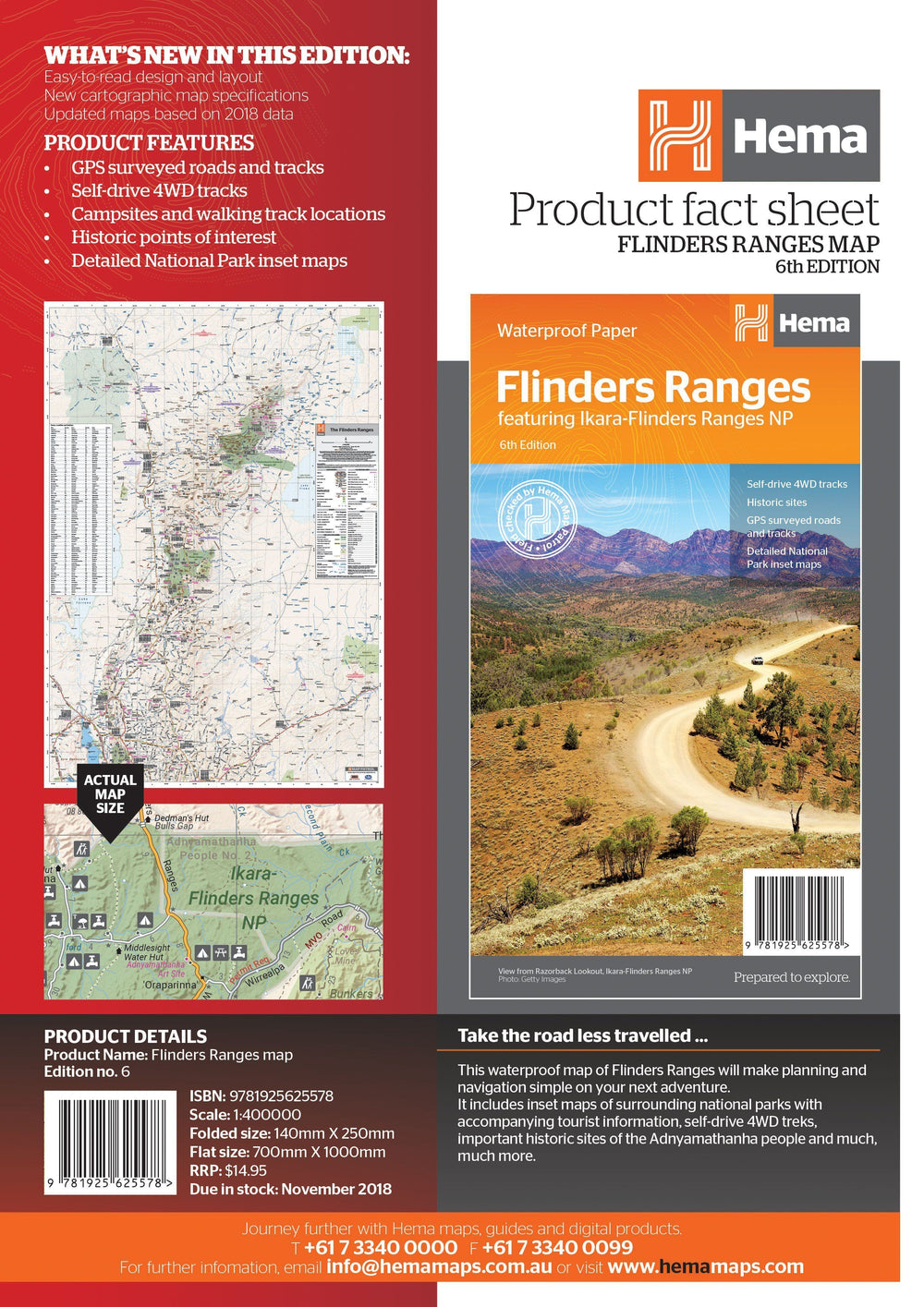
Large plane of the agglomeration of Adelaide 1/80 000 (1 cm = 800 m) with a cities index published by Hema Maps.
On the back, map of Adelaide city center and map of the Adelaide region (with distances, national parks, camping areas, gas stations) at 1/270,000 scale ( 1 cm = 2.7 km). Public transit plan included.
ISBN/EAN : 9781925625158
Publication date: 2018
Scale: 1/80,000 (1 cm = 800 m) & 1/270,000
Printed sides: both sides
Folded dimensions: 25 x 12 x 0.3cm
Unfolded dimensions: 100x70cm
Language(s): English
Weight:
72 g


