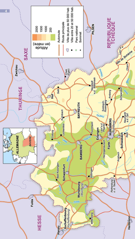
Outdoor maps of the Füssen, Pfronten region (Germany) published by Kümmerly & Frey for hiking, skiing or cycling.
The map covers the main areas of interest from Steingaden to the Lech Valley, including their trails and recreational opportunities.
With clearly marked, easy-to-read and up-to-date trails, a clear map presentation, easy-to-read relief representation, and the ability to download the map via the HKF Outdoor app, this map is the ideal tool to fully enjoy your stay in this exceptional region.
The map contains all the information you need to exercise in the surrounding area. Not only are hiking and cycling routes clearly marked, but it also provides information on golf courses, tennis courts, via ferrata, indoor swimming pools, museums, playgrounds, bowling alleys, and more, so you can plan your leisure time in the best possible way.
Caption in English and German.
ISBN/EAN : 9783259300060
Publication date: 2025
Scale: 1/35,000 (1cm=350m)
Folded dimensions: 12.5 x 20cm
Language(s): German English
Weight:
82 g