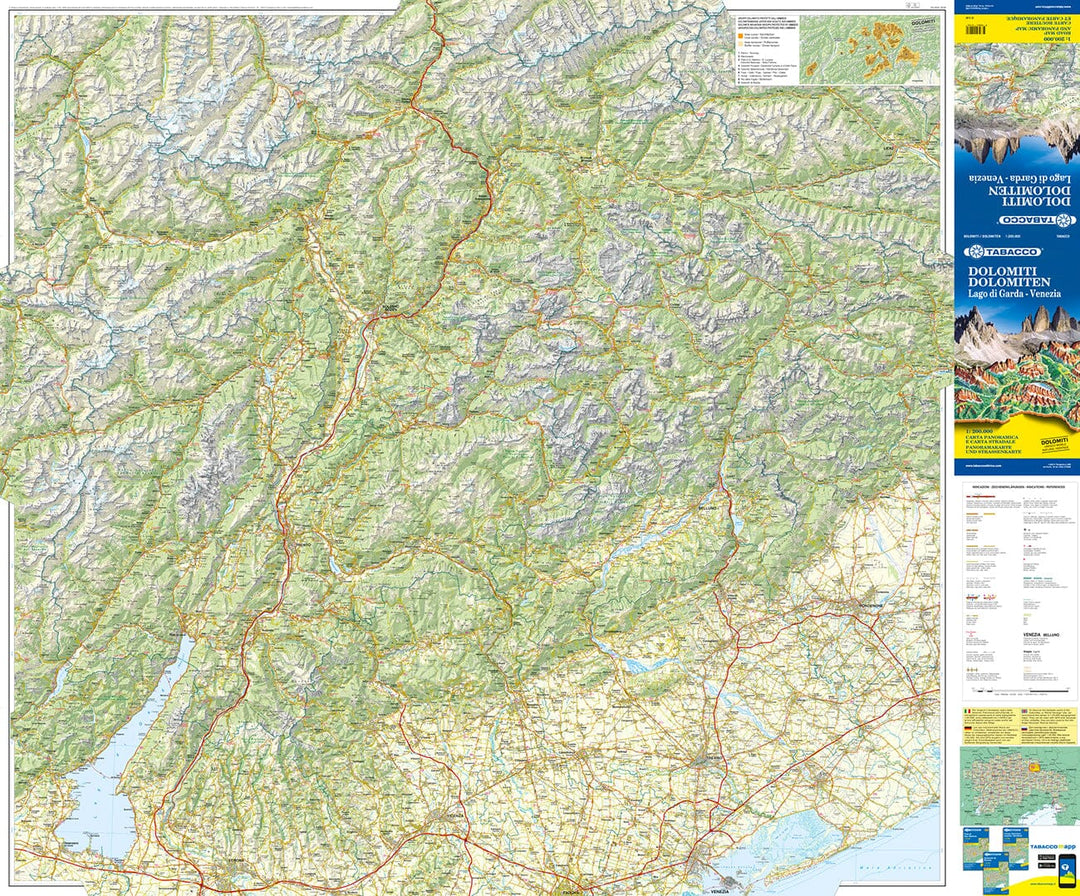
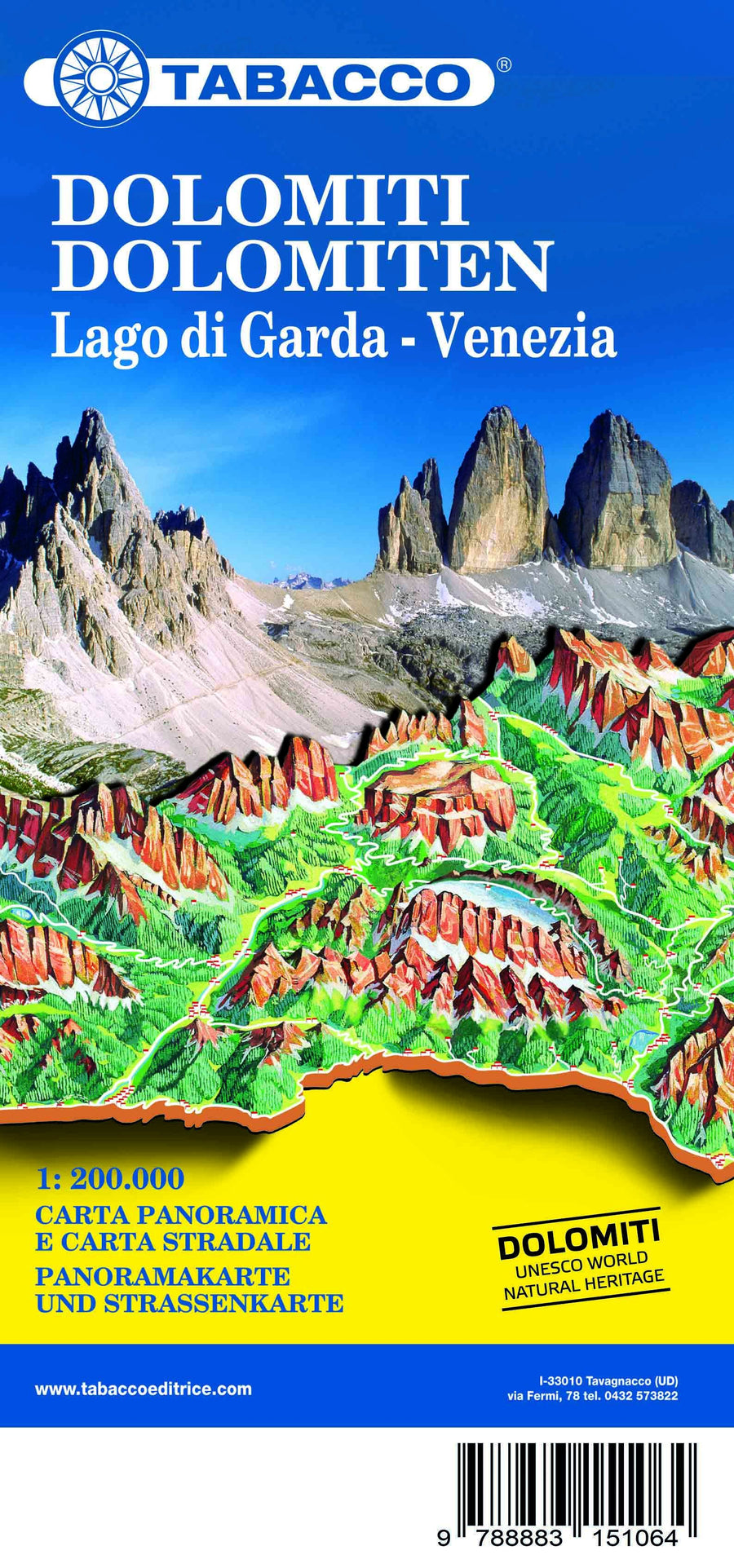
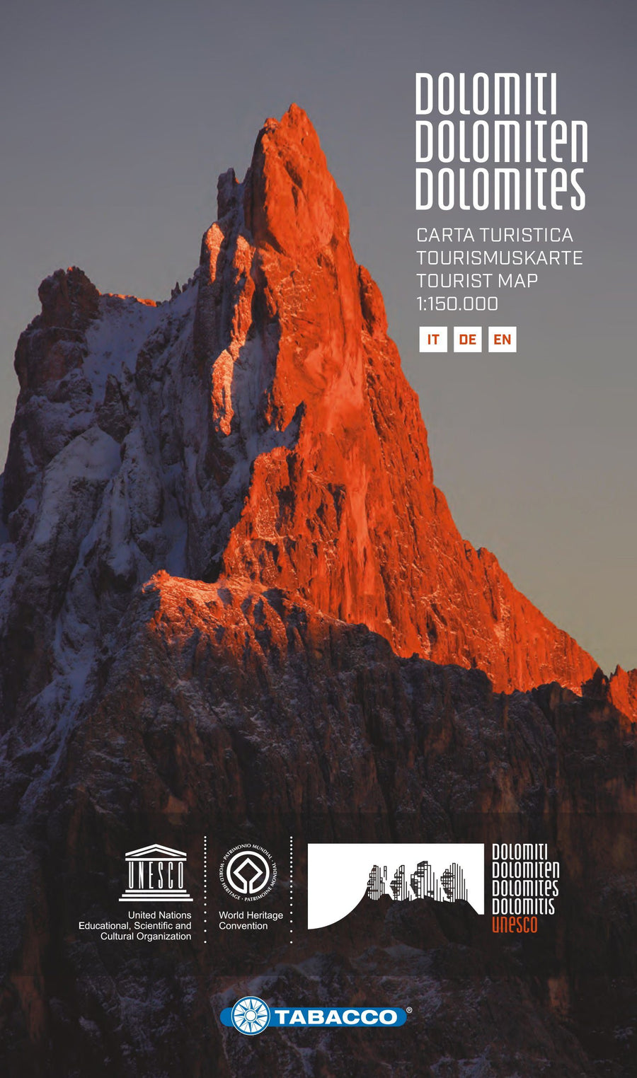
Dolomite waterproof road map edited by Tabacco.
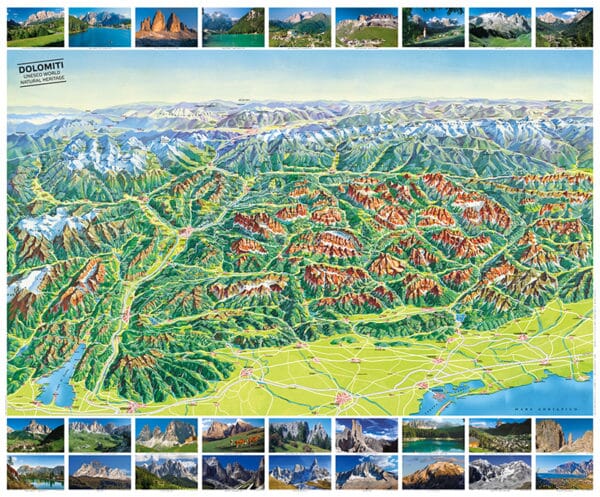
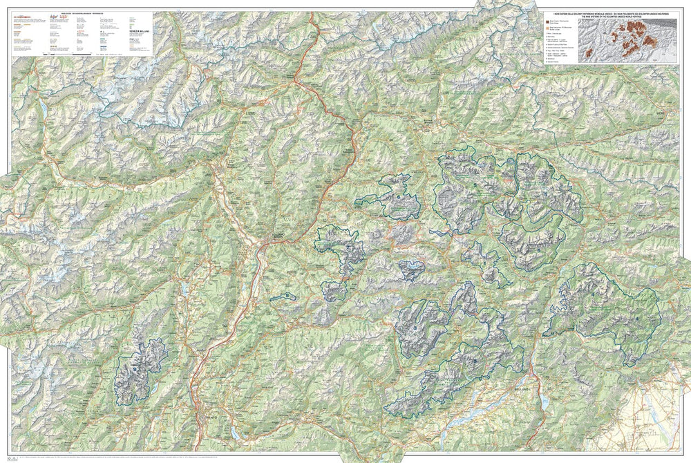
This detailed map provides an excellent presentation of the topography of this mountainous region, and on the back, a drawing of the panorama.
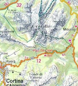
The cover extends from the northern end of Lake Garda beyond the Austrian border, and from Bormio (West) to Pordenone and Lienz. The mapping of the relief, the forests and the limits of national parks and other protected areas are indicated.
The map is rather designed to present the topography of the region rather than its tourist sites, but it nevertheless indicates campsites.
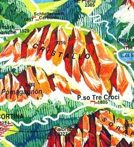
On the back, panoramic drawing of the Dolomites, oriented north of the Po Valley and the highway, between Lake Garda and Venice, with the Austrian and German Alps in the background. The names of mountain ranges, peaks, valleys, etc. are mentioned .... The panorama also shows cities and villages and roads in the region.
Our opinion: a good complement to detailed maps Tabacco 1/25 000 for hiking.
ISBN/EAN : 9788883151064
Publication date: 2019
Scale: 1/200,000 (1cm=2km)
Printed sides: both sides
Folded dimensions: 24 x 12.5cm
Unfolded dimensions: 100x70cm
Language(s): English, German, Italian
Poids :
90 g