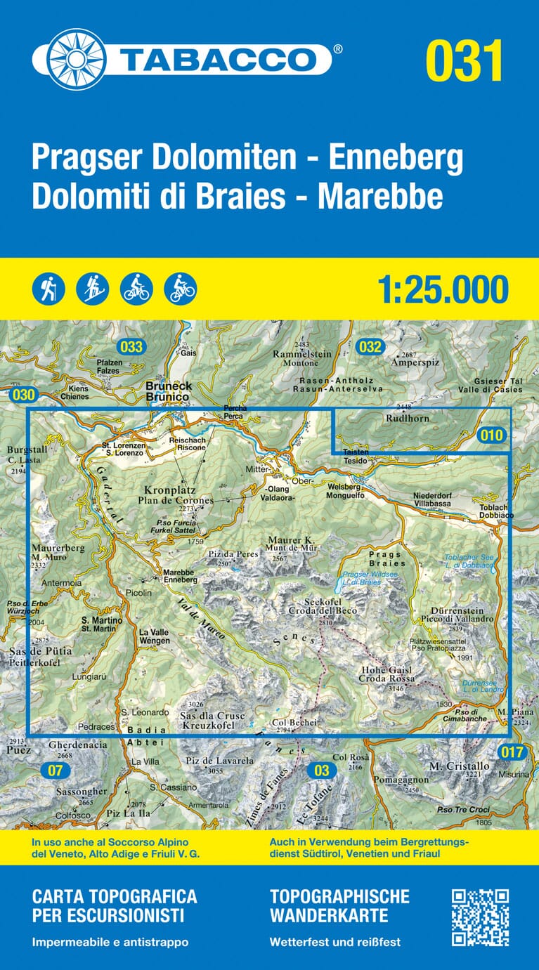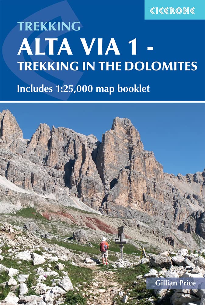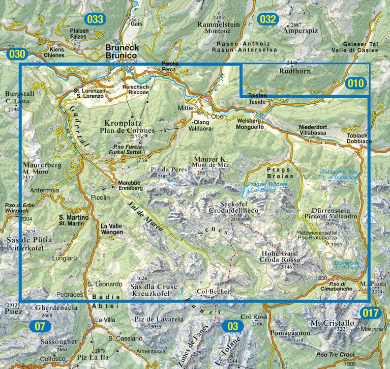
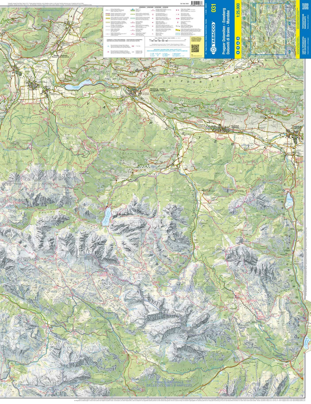
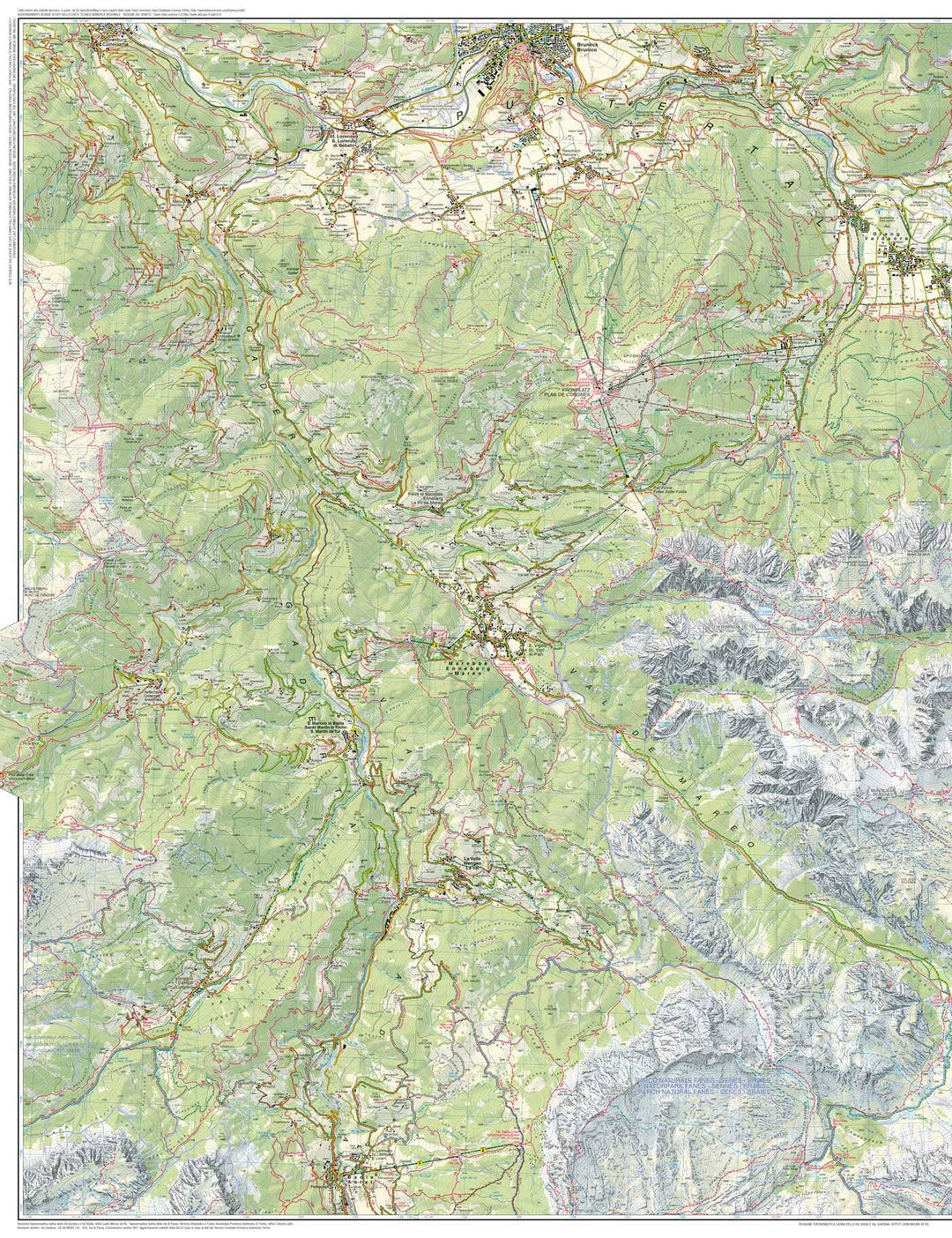
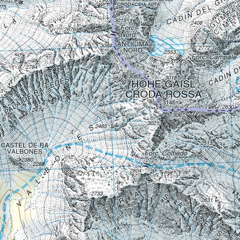


Hiking Map # 31 - Marebbe / Enneberg and Prags, Braies | Tabacco
Hiking Map # 31 - Marebbe / Enneberg and Prags, Braies | Tabacco
Regular price
$16.00
- Shipping within 24 working hours from our warehouse in France
- Delivery costs calculated instantly in the basket
- Free returns (*)
- Real-time inventory
- In stock, ready to ship
Related geographic locations and collections: Alta Via (Dolomites), Alta Via 1 (Dolomites), Dolomites & Italian Alps (all hiking), Hiking maps of the Dolomites - Tabacco, Italy, South Tyrol