Southwestern Ontario Road Map | MapArt carte pliée

Southwestern Ontario Road map | MapArt

Price
Regular price $8.00
Regular price Sale price $8.00
Save $-8
/
  • Shipping within 48 business hours from our warehouse in the USA. For this product, customs fees may be requested by the carrier upon delivery.
  • Delivery costs calculated instantly in the basket
  • Free returns (*)
  • Real-time inventory
  • In stock, ready to ship
  • Backordered, shipping soon
Tax included.

Often purchased together:

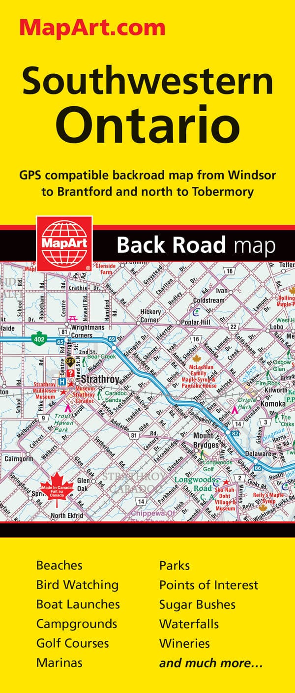
Southwestern Ontario Folded Map - 20220 Folded maps have been the trusted standard for years, offering unbeatable accuracy and reliability at a great price. Detailed indices make for quick and easy location of destinations. The folded map of South Central Ontario contains regional back road mapping at 1:250,000, a regional map legend, a community index and a road index. Also included are downtown focused city maps at 1:25,000 including London, Owen Sound, Sarnia, Stratford and Windsor. Regional map features include expressways, exit numbers, highways, paved and unpaved roads, unimproved roads, service centres, toll bridges, airports, VIA Rail stations, locks, lock numbers, ferries, railways, OPP, tourist information centres, hospitals, lookouts/viewpoints, rest areas, campgrounds, skiing, hiking, golf, boat launches, marinas, wharfs, lighthouses, UNESCO World Heritage sites, National Historic sites, bird sanctuaries, bird watching, beaches, points of interest, s


ISBN/EAN : 9781553682202
Publication date: 2018
Folded dimensions: 9 inches x 4 inches (22 x 10 cm)
Unfolded dimensions: 39 inches x 27 inches (99 x 68 cm)
Language(s): English
Weight: 1.8 oz

Customer Reviews

Be the first to write a review
0%
(0)
0%
(0)
0%
(0)
0%
(0)
0%
(0)