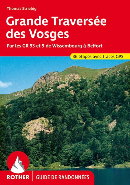
Hiking guide of the Vosges crossing edited by rether.
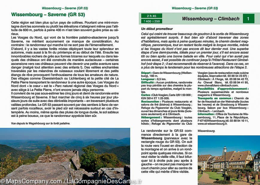
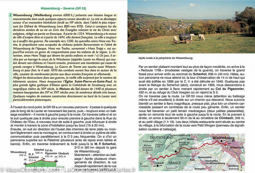
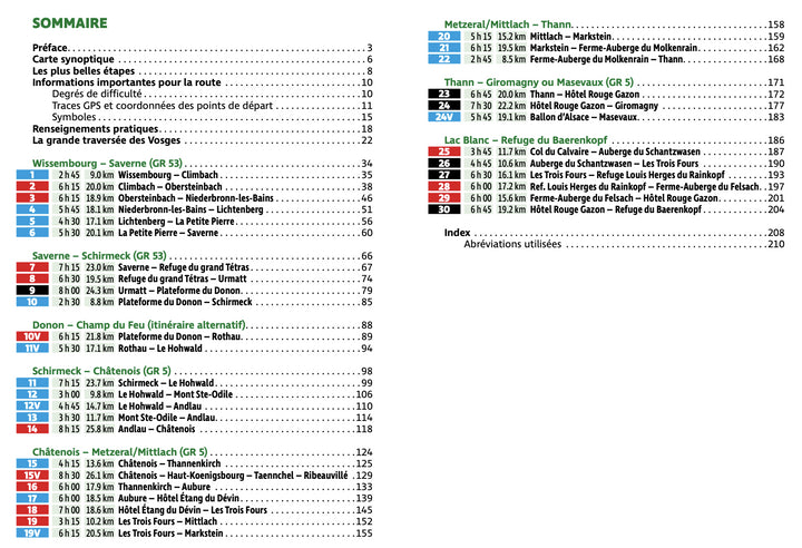
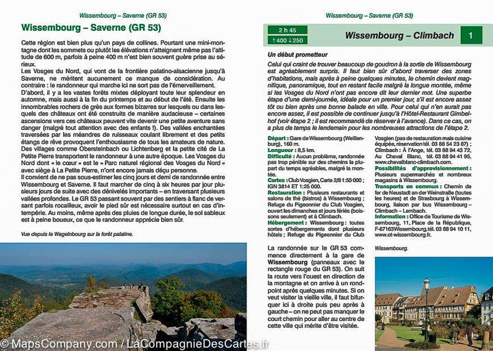
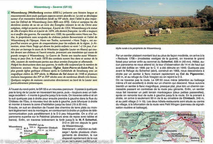
For each step, a brief description of the hike with all important information, a color map and a precise description of the itinerary facilitate the choice and the orientation on site.
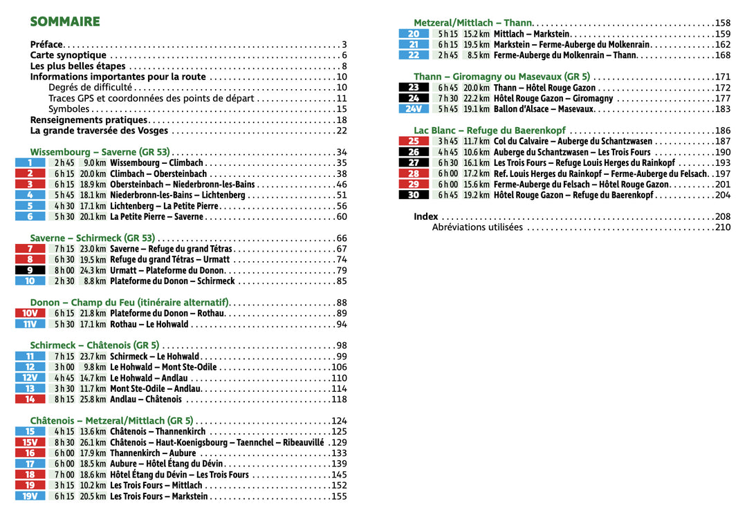
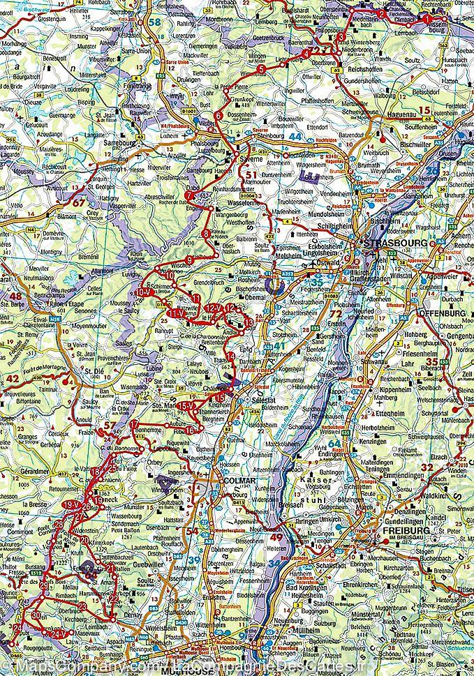
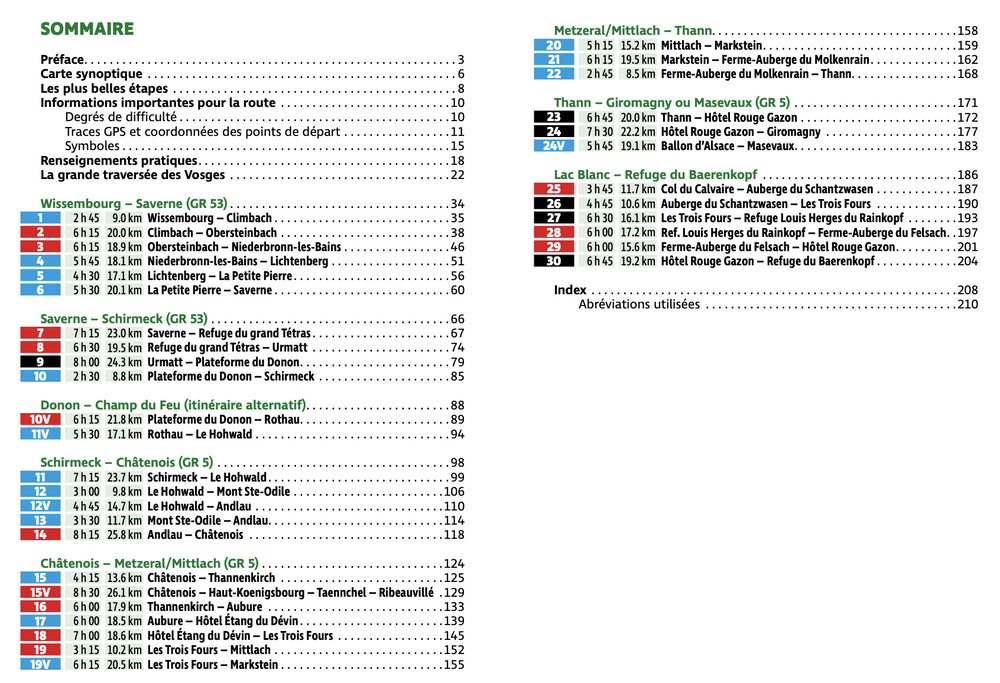
Summary and example - type photo. 208 pages, 117 photos, 36 maps 1: 110 000, 2 synoptic maps at 1: 850 000 and 1: 2,000,000.
GPS coordinates are downloadable for all routes on the publisher website.
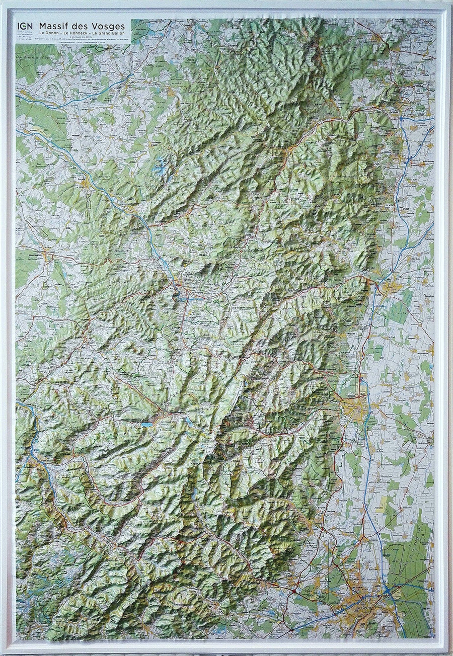
Publisher Note: More than 120 years ago, the Vogesenclub (today Club Vosgien) has set up a hiking trail to cross the Vosges, this preserved average mountain located east of France. The GR 53 or GR 5 described today leads by picturesque trails through the Alsatian Vosges of Wissembourg to Masevaux or Giromagny near Belfort. The Rother "Great Crossing Vosges" Hiking guide presents this great hiking path in 36 stages, with some variations, crossing the Vosges of the North, the average Vosges and the Hautes Vosges, almost unincorus. Easy steps crossing large forests and sleeping villages alternate with sports mountain itineraries, difficulties comparable to those of the Alps through wild and preserved landscapes to more than 1000 meters. The hiking itinerary of 400 kilometers long does not follow the most direct path, but always the most beautiful. It goes through places loaded with history and medieval strong castles, as well as many places evoking a painful chapter of the German history German. In the Vosges, the hiker finds an ideal infrastructure: campaign hostels, gites, peasant or mountain inns where it can spend comfortable nights and savor the excellent Alsatian cuisine.
ISBN/EAN : 9783763349494
Publication date: 2021
Pagination: 208 pages
Folded dimensions: 12 x 17cm
Language(s): French
Weight:
211 g


