Atlas routier - Europe + web-navigator 2.7 | Hallwag atlas Hallwag

Road atlas - Europe + Web - Navigator 2.7 | Hallwag

Price
Regular price $19.00
Regular price Sale price $19.00
Save $-19
/
  • Shipping within 24 working hours from our warehouse in France
  • Delivery costs calculated instantly in the basket
  • Free returns (*)
  • Real-time inventory
  • Low stock - 1 item left
  • Backordered, shipping soon
Tax included.

Often purchased together:

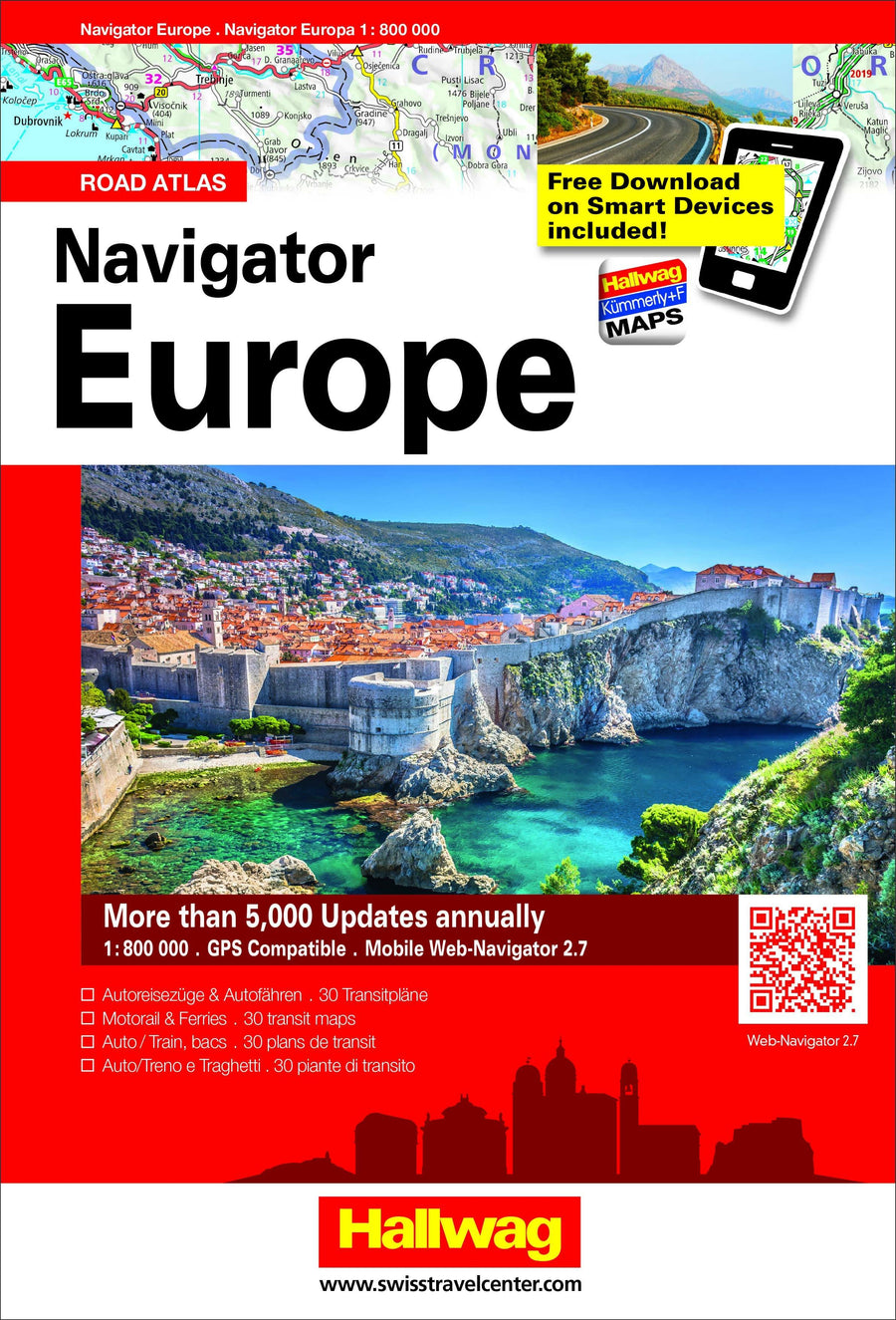
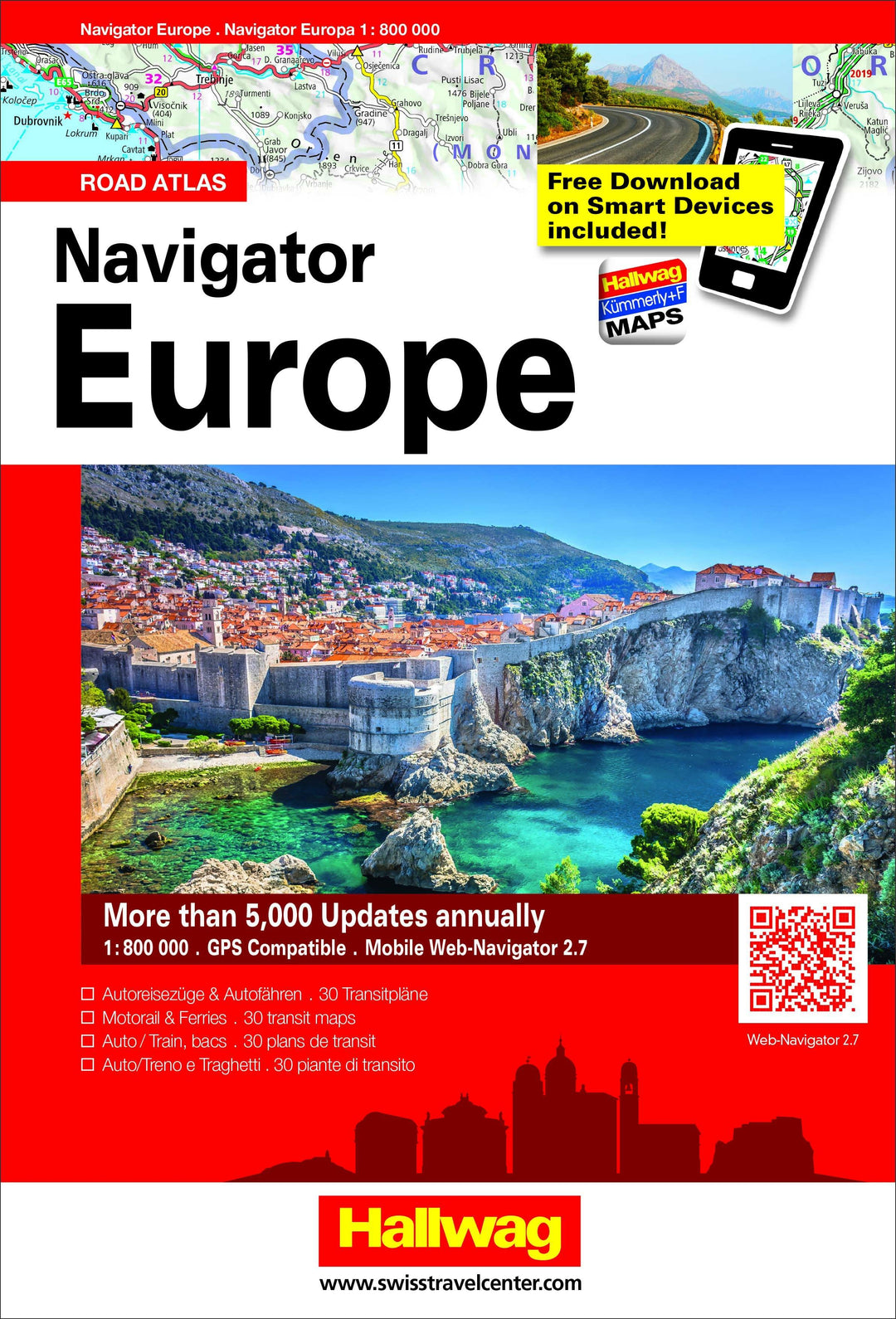
Road atlas of Europe updated and detailed, with the mapping of all European countries on the same scale. Automotive transport, index with more than 100,000 place names, tourist attractions, useful information, distances and legend multilingual (including French). .
Mapping with highlighted panoramic roads, perfect when you want to get away from the highway and explore the surrounding landscapes. Ideal for organization and planisphere. .
Free mapping for use with your GPS smartphone.


ISBN/EAN : 9783828309067
Publication date: 2018
Pagination: 448
Scale: 1/800,000 (1cm=8km)
Folded dimensions: 20 x 29cm
Language(s): multilingual including French
Weight: 1120 g

Customer Reviews

Based on 2 reviews
100%
(2)
0%
(0)
0%
(0)
0%
(0)
0%
(0)
J
J A. (Istres, FR)
Très bien

Utile et ludique!

b
benoit c. (Arras, FR)
Carte très précise

Moi qui recherchait une carte assez précise pour être utilisée à vélo, mon choix s'est porté sur celle-ci.
l'atlas est bien évidemment assez épais, car toute l'europe au 1/800000e, ça fait beaucoup de pages.
petit plus: un listing de nombreuses villes avec leur emplacement sur la carte (mais prenant beaucoup de pages également...
celle ci comporte de nombreuses infos touristiques et altitudes.