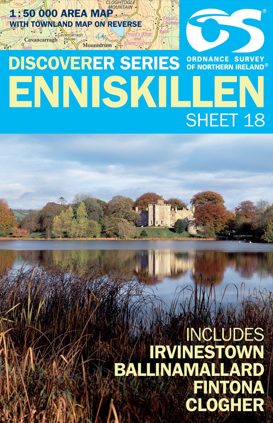
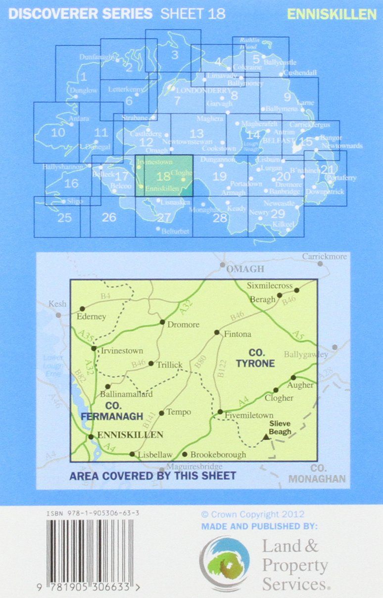
Hiking map # 018 - Enniskillen, Irvinestown, Ballinamallard (Northern Ireland) | Ordnance Survey - Discoverer

Price
Regular price $20.00
Regular price Sale price $20.00
Save $-20
/
  • Shipping within 24 working hours from our warehouse in France
  • Delivery costs calculated instantly in the basket
  • Free returns (*)
  • Real-time inventory
  • Low stock - 1 item left
  • Backordered, shipping soon
Tax included.

Often purchased together:

The Discoverer Map Series from the Ordnance Survey of Northern Ireland, presents the country with detailed topographic maps on a scale of 1: 50,000 (1 cm = 500 m).
Different types of forests are shown thanks to the color code. Outside the national road network small roads are evaluated on the basis of their width. Indication of local trails and steep slopes. The rail network is presented with train stations. The marked trails and bike paths of the "Sustrans" network are highlighted. Curiosities are clearly marked and a series of symbols indicates other tourist information, including camping opportunities, hostels, road stations, car parks, picnic areas, gazebo, golf courses, etc. The maps are GPS compatible.


ISBN/EAN : 9781905306633
Publication date: 2012
Scale: 1/50,000 (1cm=500m)
Folded dimensions: 11.7 x 18.2cm
Language(s): English
Weight: 80 g

Customer Reviews

No reviews yet
0%
(0)
0%
(0)
0%
(0)
0%
(0)
0%
(0)