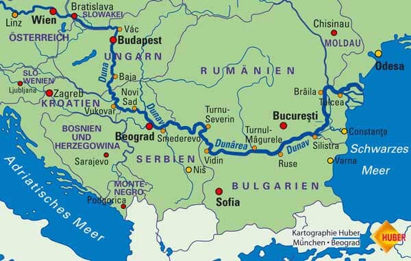
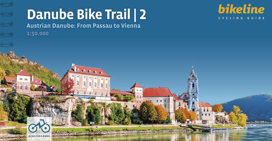
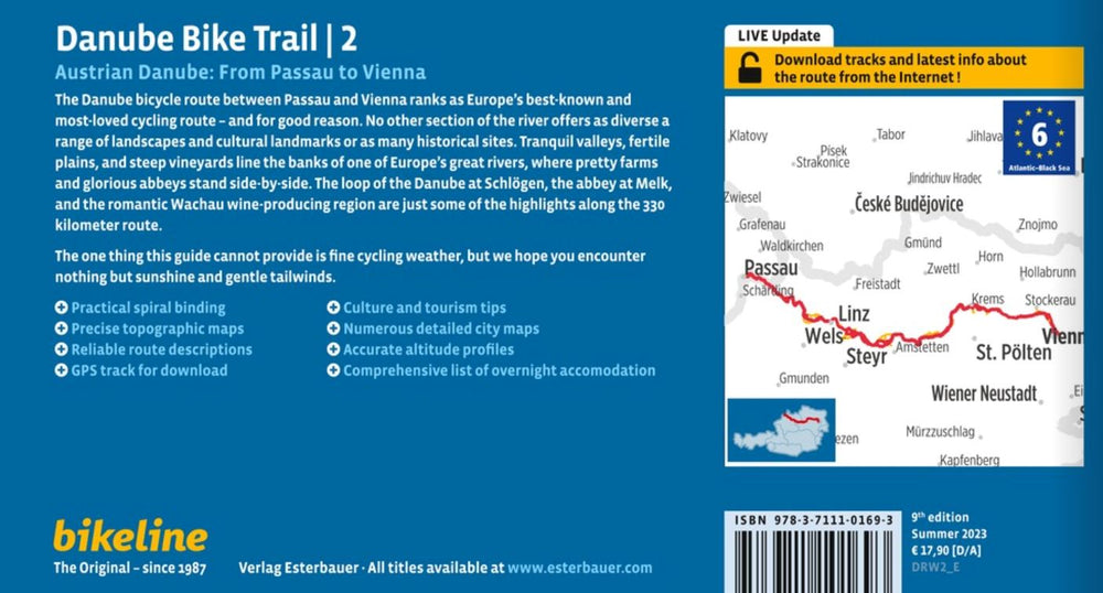
Cycling map # F7004 - Donauradweg 2 / Bicycle path of the Danube, Passau in Vienna (Germany, Austria) | Kompass

Price
Regular price $17.00
Regular price Sale price $17.00
Save $-17
/
  • Shipping within 24 working hours from our warehouse in France
  • Delivery costs calculated instantly in the basket
  • Free returns (*)
  • Real-time inventory
  • Low stock - 2 items left
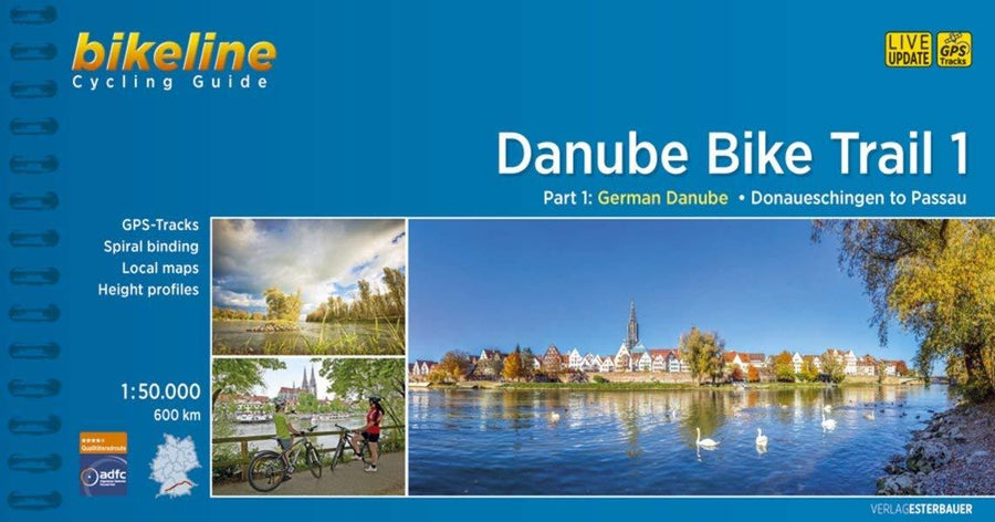
  • Backordered, shipping soon
Tax included.

Often purchased together:

The advantages of the map :

- tear-proof and weather-resistant

- complete route on a single map

- fits in the handlebar bag

- with altitude profile

- additional information: highlights and list of overnight accommodations

Kompass cycle touring maps show the entire route of a long-distance cycle route on a single map. This works thanks to the so-called Leporello format, which can be opened like an accordion. In addition to the route, you can see everything you need to know about your route and the surrounding area. You'll also find additional information such as overnight accommodation suggestions, an elevation profile, and highlights along the route. Rain, snow, and hail can't harm the map: the robust, tear-resistant, and weather-resistant material won't let you down.

The route:

- The distance between the two cities of Passau and Bratislava is approximately 400 km. It's one of the busiest cycle paths in Europe. It's no wonder, because this section is a must-see for any avid cyclist.

- From Passau, cycle down the Danube via the famous Schlögener Loop to Linz. Cycle through the Wachau region, arriving in Vienna via Dürnstein and Krems, and then take a gondola along the Danube through the city. The Danube Cycle Path is well-maintained and offers scenic beauty and culinary delights. There are numerous restaurants along the route.


ISBN/EAN : 9783991542841
Publication date: 2025
Scale: 1/50,000 (1cm=500m)
Folded dimensions: 11 x 19cm
Language(s): german
Weight: 161 g

Customer Reviews

Based on 1 review
100%
(1)
0%
(0)
0%
(0)
0%
(0)
0%
(0)
c
Claire VT (Naucelles, FR)
Alright

The map meets my expectations. I used volume 1 to map the beginning of the Danube, and it served me well. The only downside: the campsites listed aren't very up-to-date.