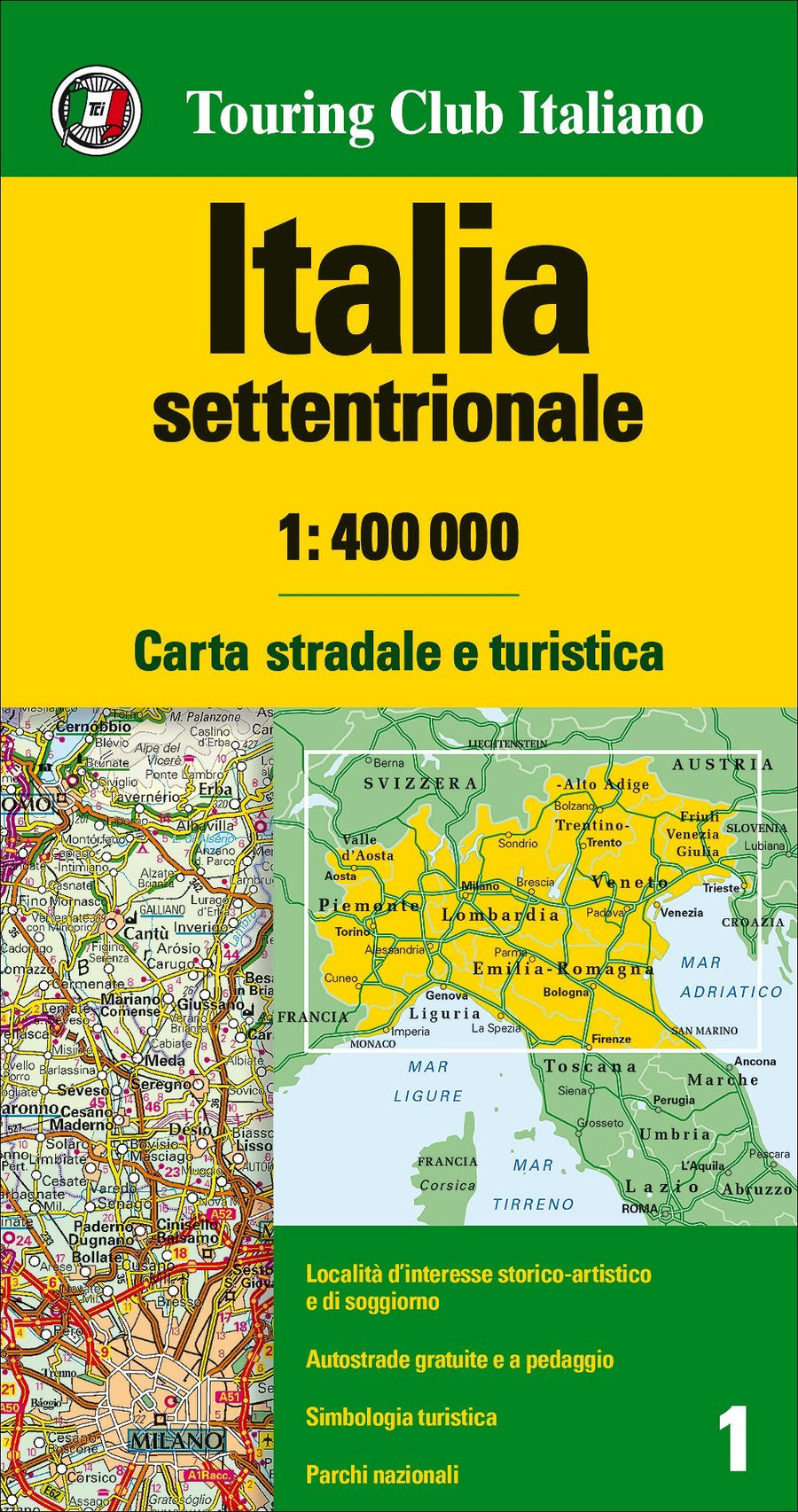
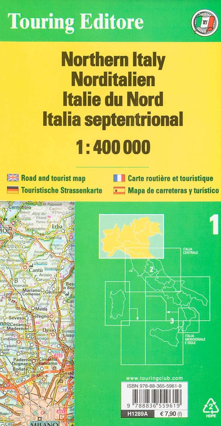
Road map # 1 - North Italy | Touring Club Italiano - 1/400 000
Regular price
$13.00
Regular price
Sale price
$13.00
Save $-13
/
- Shipping within 24 working hours from our warehouse in France
- Delivery costs calculated instantly in the basket
- Free returns (*)
- Real-time inventory
- In stock, ready to ship
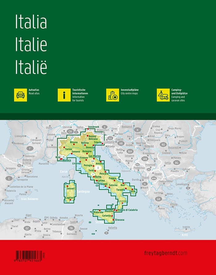
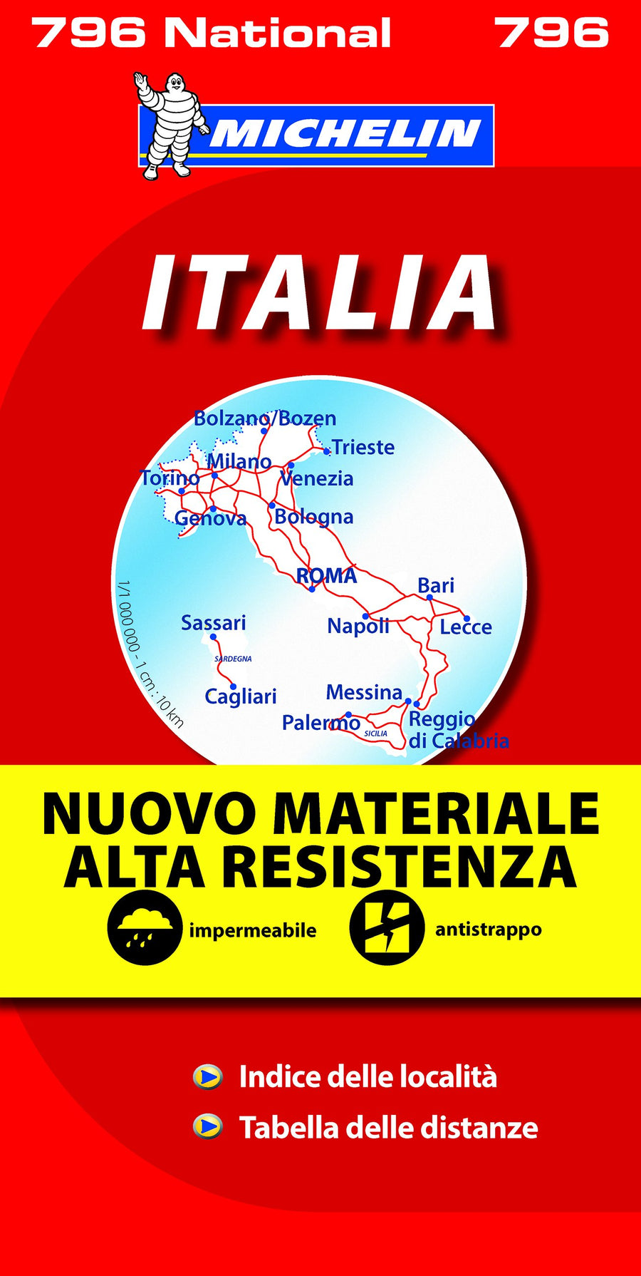
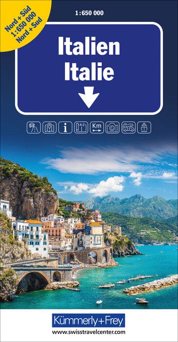
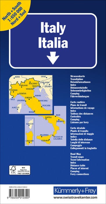
Related geographic locations and collections: General Italy, Italy, Milan, New products, Northern Italy