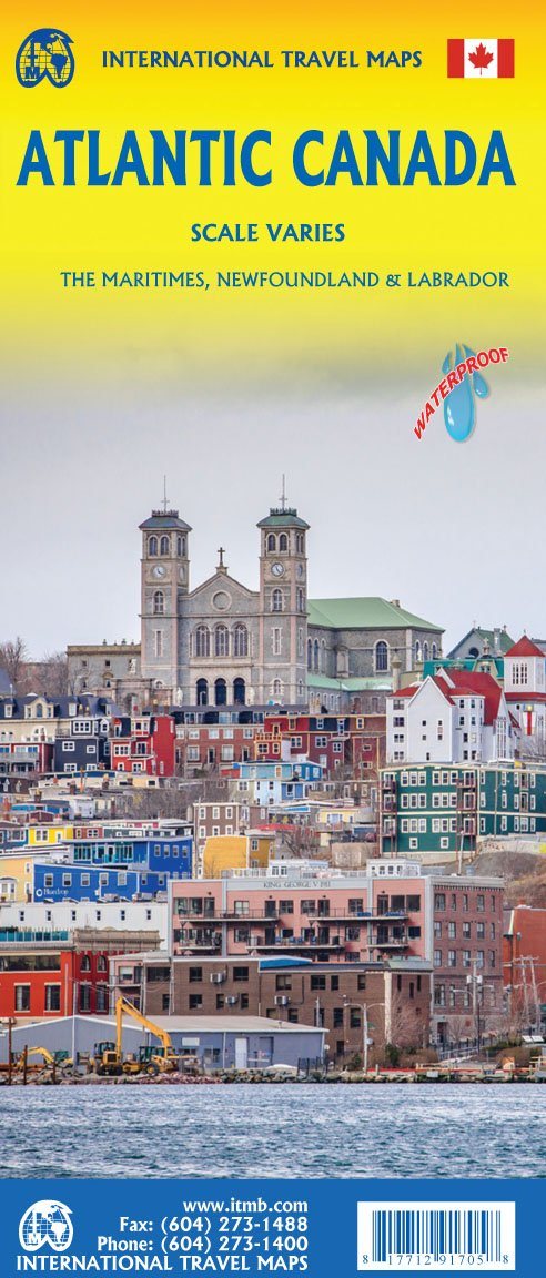
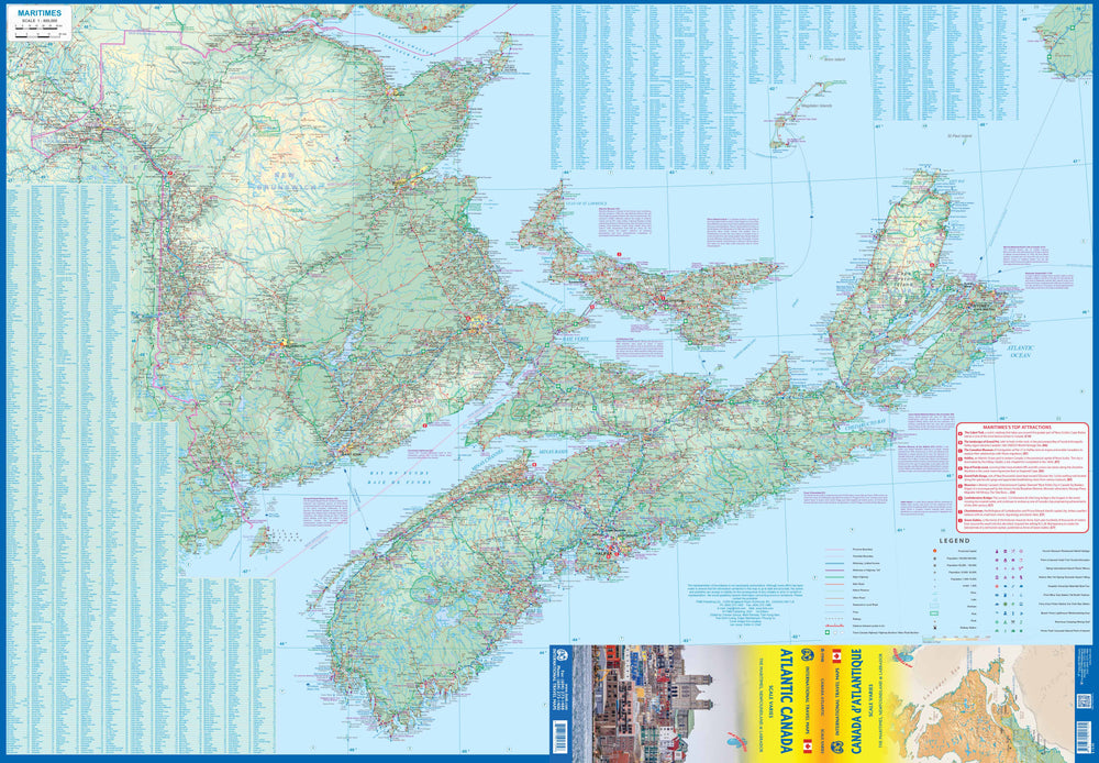
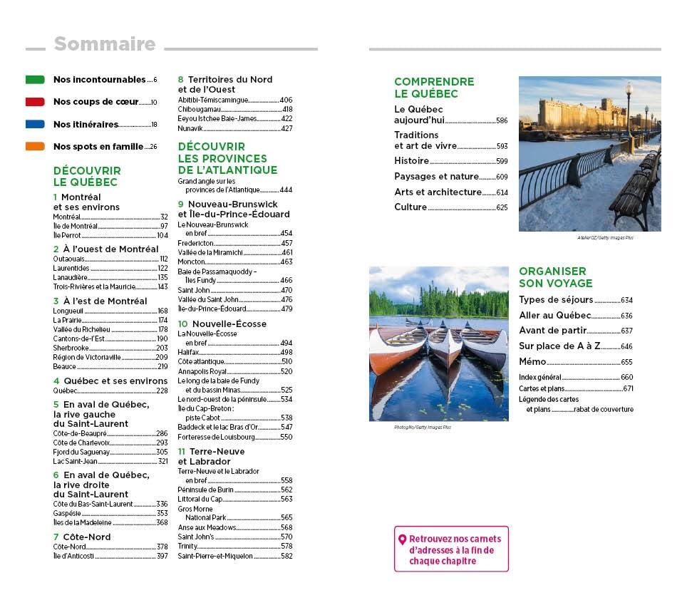
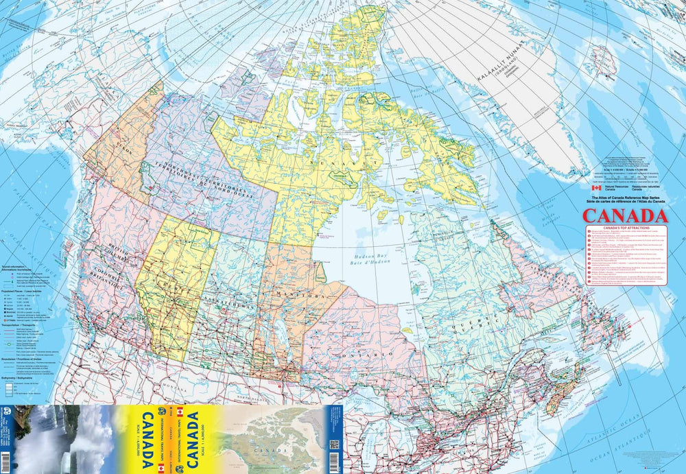
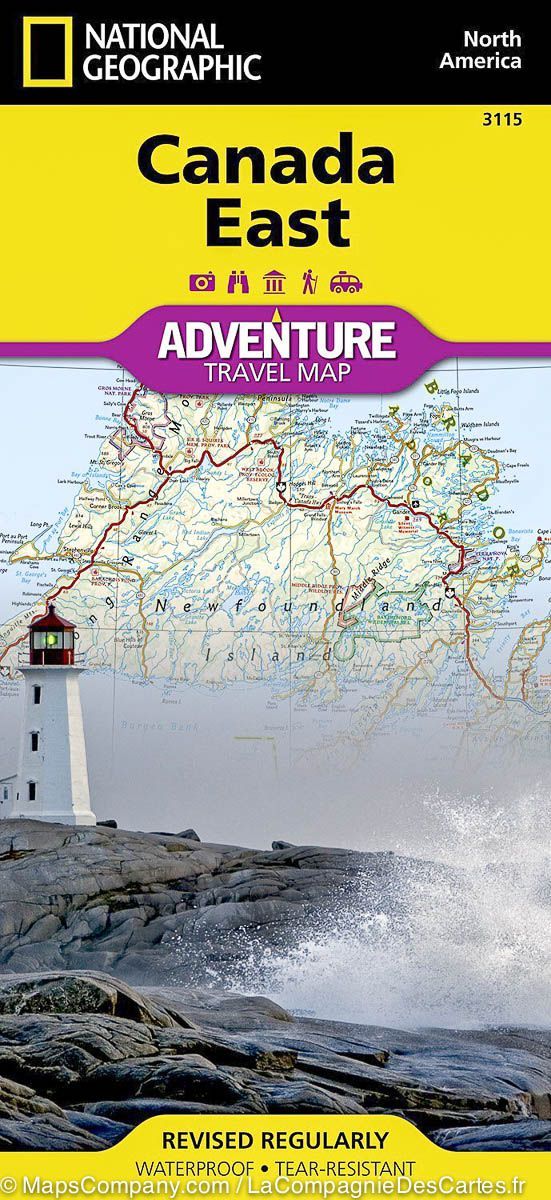
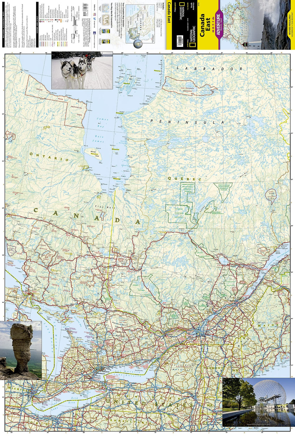
Detailed map of Newfoundland and Labrador (Canada) published by ITM which covers these two regions of northeastern Canada. Scale 1:800,000 (1 cm = 8 km) for Newfoundland and 1:1,300,000 for Labrador (1 cm = 13 km).
Detailed map of Conception Bay South and St John's included as well as a town index.
ISBN/EAN : 9781771295833
Publication date: 2024
Scale: 1 / 800,000 (1 cm = 8 km) & 1 / 1,300,000 (1 cm = 13 km)
Printed sides: both sides
Folded dimensions: 24.6 x 10.3 x 0.5cm
Unfolded dimensions: 68x100cm
Language(s): English
Weight:
52 g


