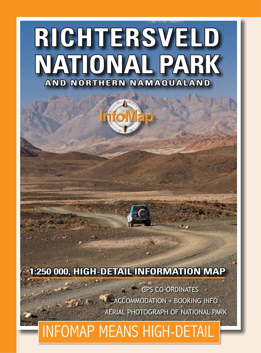
Detailed map of the Richtersveld and northern Namaqualand published by Infomap. At its 8th edition, this map remains as popular as ever. Includes usual GPS coordinates, hosting and booking information plus large-scale aerial photography from the National Park on the back of the road superposition. This map gives a very good idea of the nature of the land and the rudeness of the landscape that you will discover.
The map is sold in a laminated pocket.
This publisher publishes paper maps developed and studied for travelers in search of adventures, specifically travelers who drive in 4x4 or motorcycle, for those who ask for more than one road map than an ordinary motorist. Infomap maps are characterized by the combination of GPS information and geographical references.
ISBN/EAN : 9780620250092
Publication date: 2020
Scale: 1/250,000 (1cm=2.5km)
Printed sides: both sides
Folded dimensions: 15x21cm
Unfolded dimensions: 87cm x 63cm
Language(s): English
Poids :
85 g