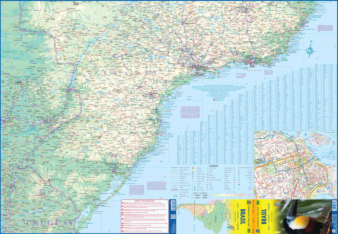
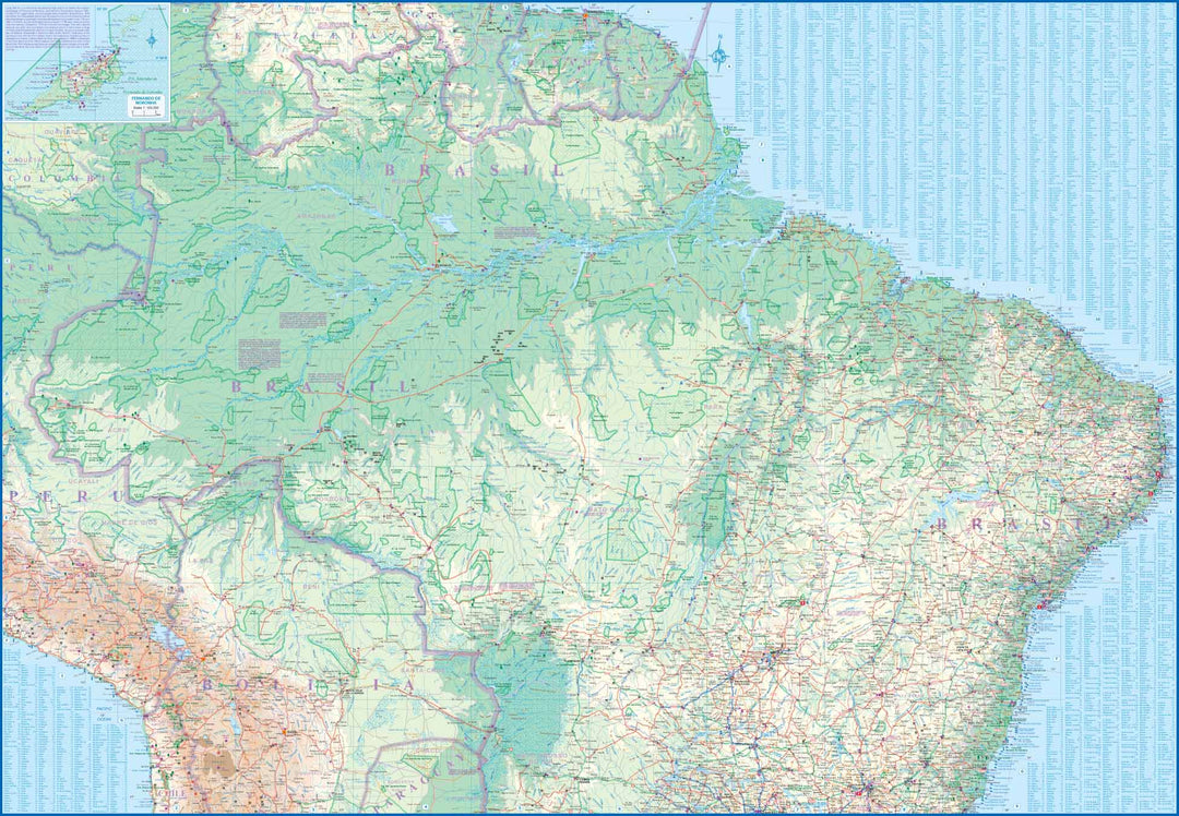
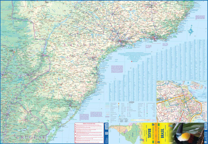
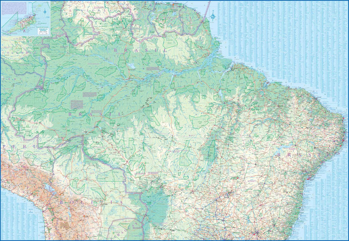
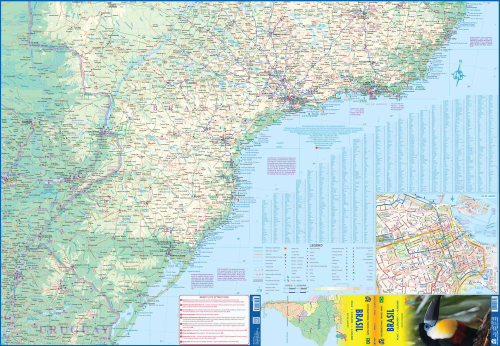
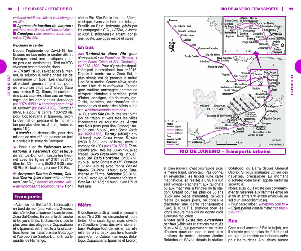
in the ink of this road map, the map of the center of Rio de Janeiro and an index of cities.
A very small map of Fernando de Noronha is also Included.
The legend of the map is in English and Portuguese.
The general relief is represented by a hue of altitude with points of height, indicating the swamps, the salt, glaciers and active volcanoes. National parks and reserves are marked. The road network includes secondary roads and selected tracks, and intermediate distances are marked on many roads. The main railway lines, channels, local airports and landing grounds are also indicated. The boundaries of the states are marked and symbols highlight various places of interest. Latitude and longitude lines are plotted at 1 ° intervals.
This map is waterproof and resistant to tearing.
ISBN/EAN : 9781771290975
Publication date: 2020
Scale: 1/2,200,000 (1cm=22km) & 1/4,500,000 (1cm=45km)
Printed sides: both sides
Folded dimensions: 24.6 x 10.3 x 0.5cm
Unfolded dimensions: 100 x 68cm
Language(s): English, Portuguese
Weight:
80 g


