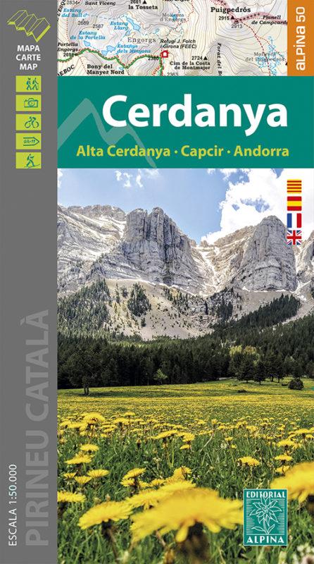
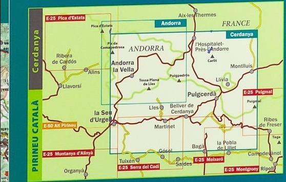
Detailed topographic map of the Cerdagne region (Haute Cerdany, Capcir and Andorra) in the Pyrenees.
Map area: Catalan Pyrenees. High Vallée du Segre. High and low Cerdagne. Capcir. Baridà.
The detailed map is in color with the level curves, the marked trails (gr, pr), trails, shelters, waterfalls, etc. < / p>
The map is accompanied by a folder that includes the following information (in French, Catalan, Castilian):
• Refuges All is protected by a laminated case. 1/50 000 scale (1 cm = 500 m).
• Nature parks
• Top 21: points of interest.
ISBN/EAN : 9788480908726
Publication date: 2021
Scale: 1/50,000 (1cm=500m)
Printed sides: front
Folded dimensions: 21 x 12.5 x 1cm
Unfolded dimensions: 127 x 84cm
Language(s): Catalan, Castilian, French and English
Weight:
234 g


