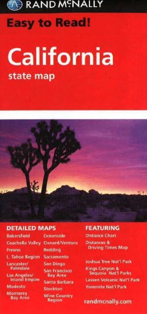
The Easy To Read series are enlarged versions which are usually printed on both sides.
The map shows the states road network with very little topographic detail which makes it much easier to see the road information. Driving distances are shown on all the main highways and also on many of the smaller roads.
National and state parks are shown, as well clearly indicated points of interest, airports, county boundaries, campsites, rest areas, etc. The map also includes a mileage chart and a mileage/driving times map of the state.
Also included are additional panels showing enlargements of Bakersfiel, Fresno, Joshua Tree National Park, Kings Canyon National Park, Sequoia National Park, Lake Tahoe Region, Lancaster - Palmdale, Los Angeles, Modesto, Monterey - Salinas, Oceanside, Oxnard - Ventura, Palm Springs, Sacramento, San Diego, San Francisco, Santa Barbara, Santa Rosa, Stockton and Yosemite National Park.