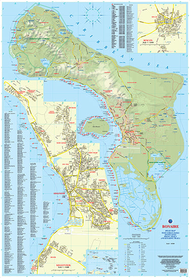
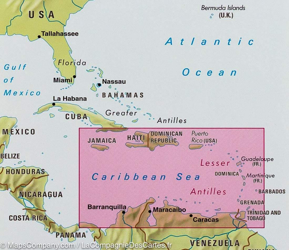
The map presents all known routes and streets on the island, as well as their names, as well as a wide range of bike paths and kayak trails.
All official dive sites around Bonaire and Klein Bonaire are posted, most of them with their GPS positions, as recorded by Stinapa, the official foundation for the conservation of the island.
The map is sold folded, measuring 13.5 cm x 24.5 cm and is designed for easy opening and folding. Its complete format unfolded measures 67 cm x 98 cm.
The map can also be hung on the wall to show the entire island. It offers rich topographic details and an attractive color layout with a brilliant high quality finish.
The map has the following features:
- the complete road network detailed on the street
- a complete index of streets and roads
- Additional maps of main cities
- an attractive presentation, all in color
- very detailed topography
- Legend and ladder
- The depth lines, the probes in meters, the lines of longitude and latitude and other identifiers.
ISBN/EAN : 9791095793021
Publication date: 2016
Scale: 1/40,000 (1cm=400m)
Folded dimensions: 22.5 x 12.5cm
Unfolded dimensions: 67 x 98cm
Language(s): English
Weight:
89 g


