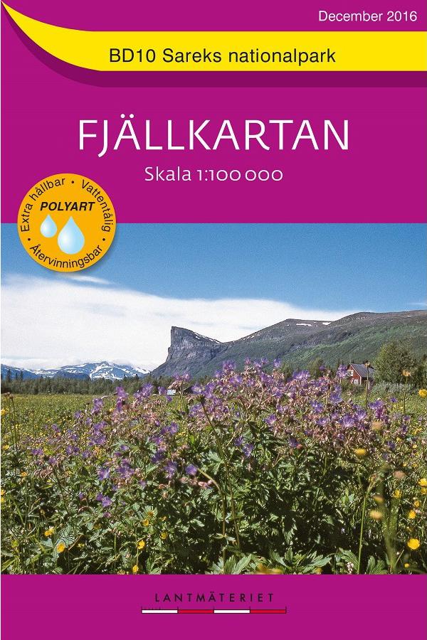
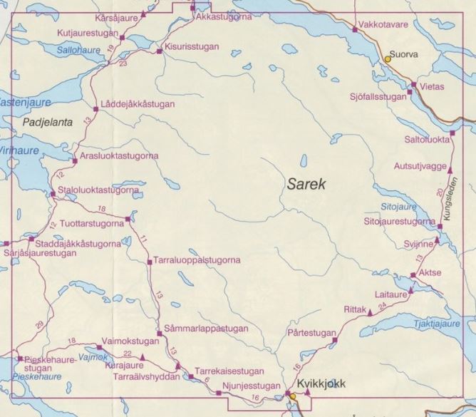
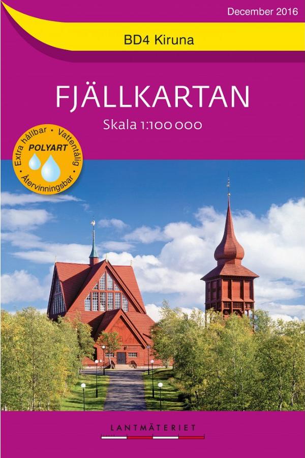
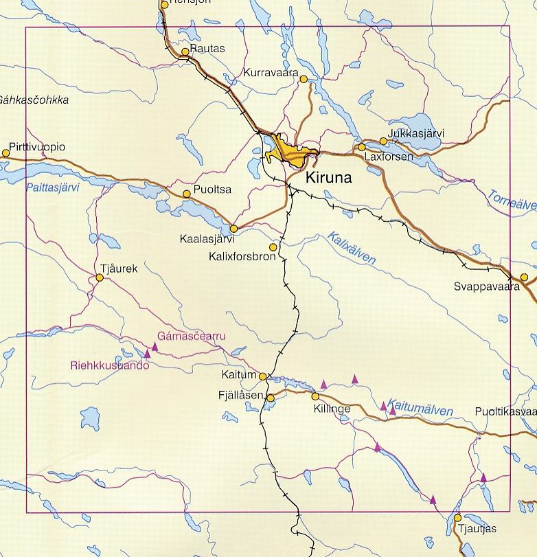
Outdoor map # BD10 - Sareks Nationalpark (Sweden) | Norstedts - Fjällkartan

Price
Regular price $20.00
Regular price Sale price $20.00
Save $-20
/
  • Shipping within 24 working hours from our warehouse in France
  • Delivery costs calculated instantly in the basket
  • Free returns (*)
  • Real-time inventory
  • Low stock - 2 items left
  • Backordered, shipping soon
Tax included.

Often purchased together:

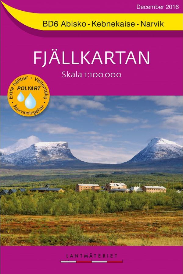
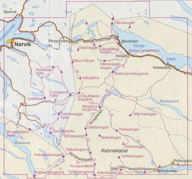
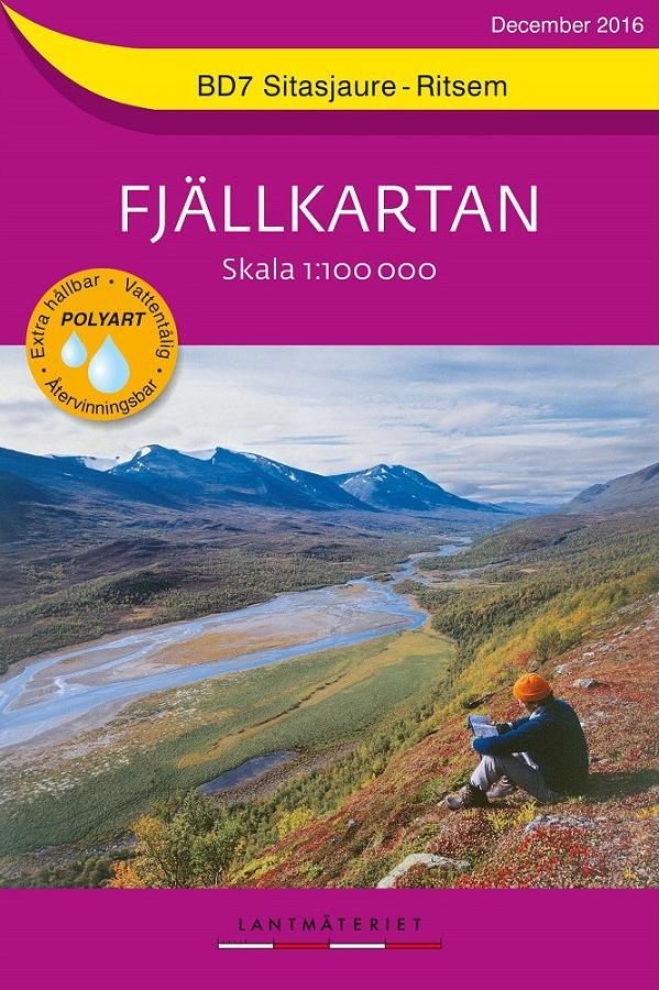
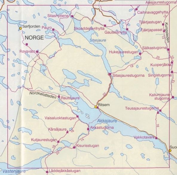
The 1:00 000 Fjällkartan series maps cover the entire Sälen mountain range in the south to the northern border. Current and reliable information, such as mountain trails, bridges, huts, emergency phones are indicated. The topography is improved thanks to the shading of the ground and level curves are presented with an interval of 20 m. The names are, in some areas, also indicated in the Sami language.
The series includes 25 maps that are suitable for trails. On the back of each map, there are additional information such as national parks, nature reserves, mountain safety, weather, nature conservation, use of GPS, suggestions for itineraries and many more.
Maps are printed on perex waterproof paper.
The information on the back is in Swedish and the legend is in Swedish, English and German.


ISBN/EAN : 9789158895881
Publication date: 2016
Scale: 1/100,000 (1cm=1km)
Printed sides: front
Folded dimensions: 14x20cm
Language(s): English, German, Swedish
Weight: 59 g

Customer Reviews

No reviews yet
0%
(0)
0%
(0)
0%
(0)
0%
(0)
0%
(0)