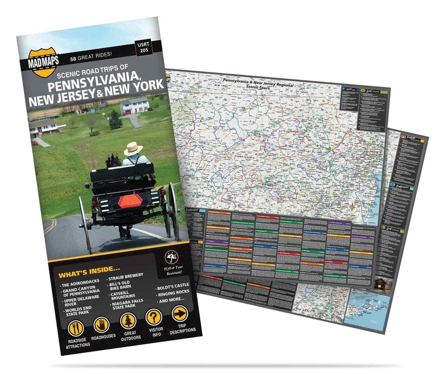
York and Gettsyburg - Pennsylvania Street Map | GM Johnson
York and Gettsyburg - Pennsylvania Street Map | GM Johnson
Regular price
$1000
$10.00
/
- Ships within 48 business hours from our US warehouse. For this product, customs fees may be requested by the carrier upon delivery.
- Delivery costs calculated instantly in the basket
- Free returns (*)
- Real-time inventory
- Low stock - 2 items left
- Backordered, shipping soon
Related geographic locations and collections: Pennsylvania


![Appalachian Trail: Pennsylvania [Map Pack Bundle] | National Geographic carte pliée](http://mapscompany.com/cdn/shop/products/cartes-de-randonnee-appalachian-trail-pennsylvanie-pack-de-cartes-national-geographic-carte-pliee-national-geographic-169241.jpg?v=1694457287&width=900)
![Allegheny National Forest [Map Pack Bundle] | National Geographic carte pliée](http://mapscompany.com/cdn/shop/products/allegheny-national-forest-pack-de-cartes-national-geographic-carte-pliee-national-geographic-799940.jpg?v=1694452639&width=900)

