Ordnance survey - Discovery series (Ireland)
70 products
Over 19,000 maps and travel guides, hiking maps, posters, globes, and decor in stock!
Over 19,000 maps and travel guides, hiking maps, posters, globes, and decor in stock!
🧭 Soon: Cartovia ✨ Read the full story here 🗺️
🧭 This September, La Compagnie des Cartes becomes Cartovia ✨ Read the full story here 🗺️
Free delivery for all orders > €50 (folded maps and guides, France)
Free delivery for all orders > €50 (folded maps and guides, France)
70 products
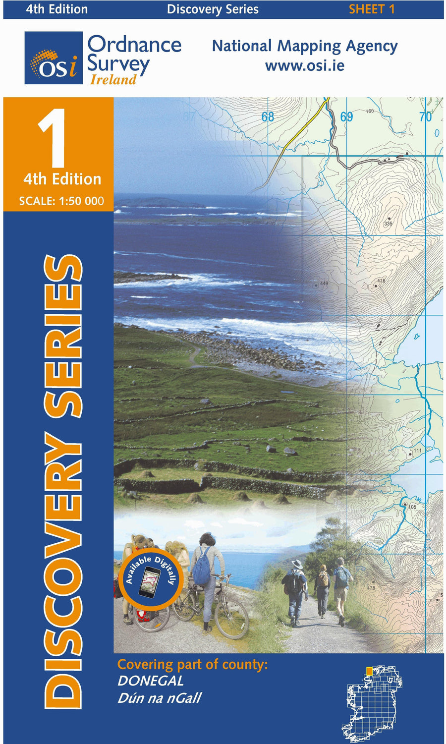
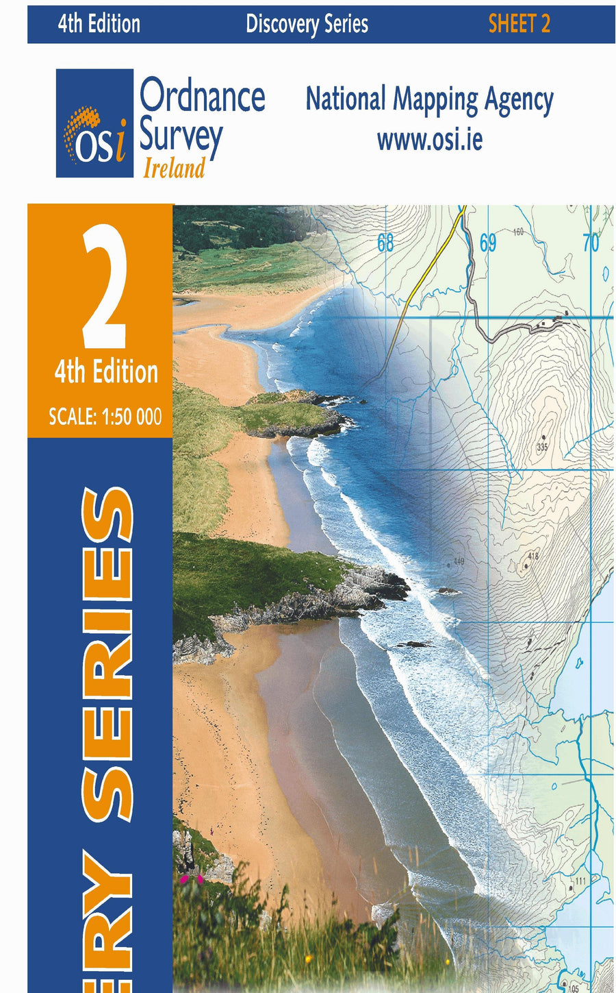
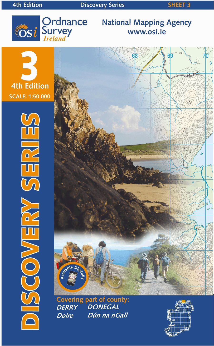
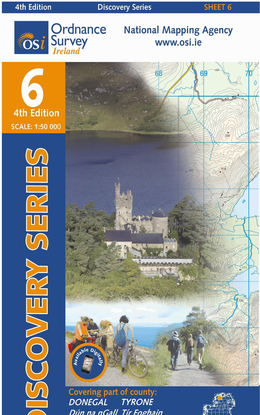
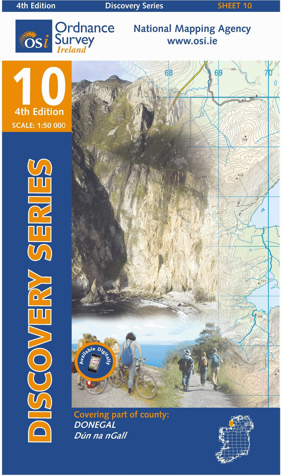
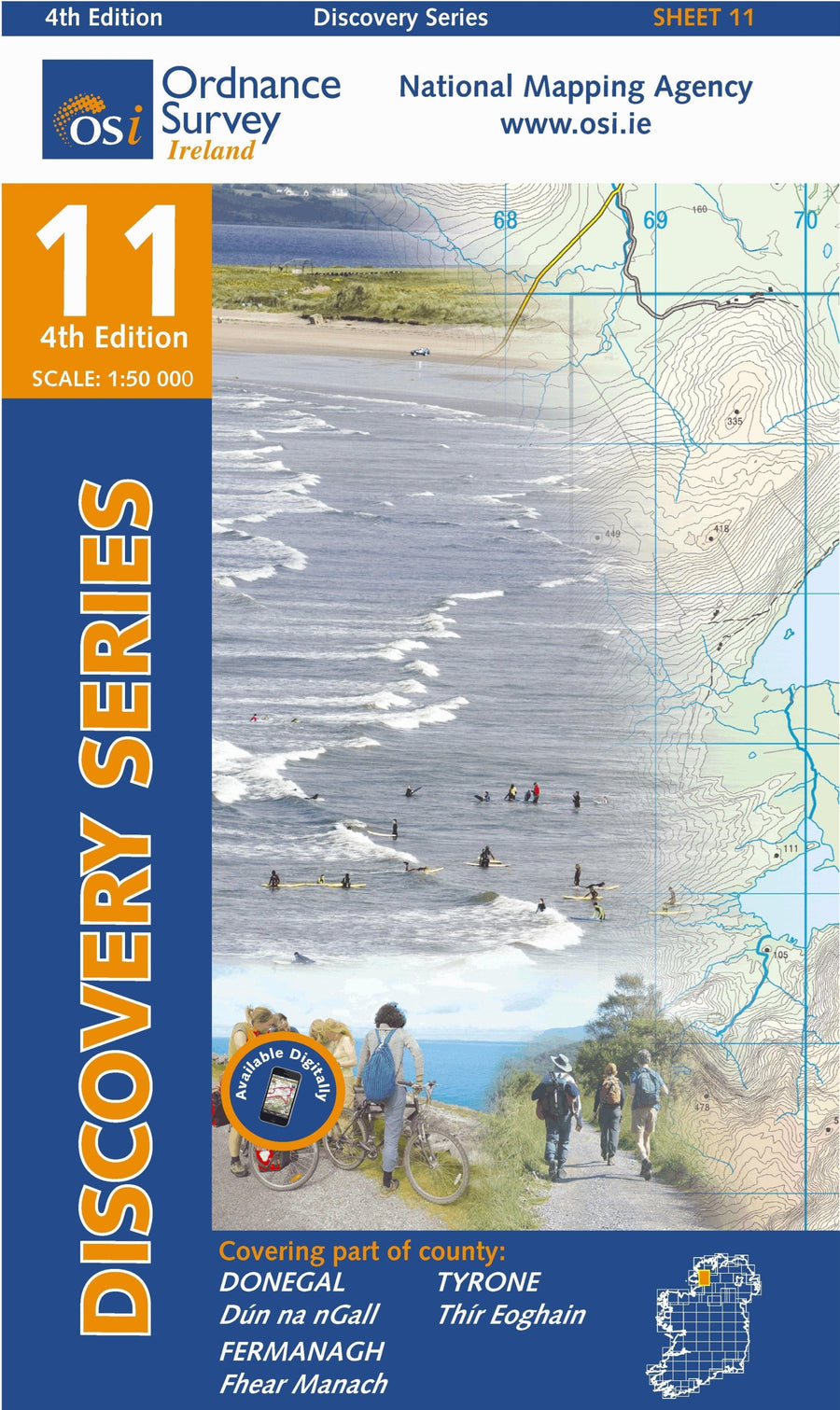
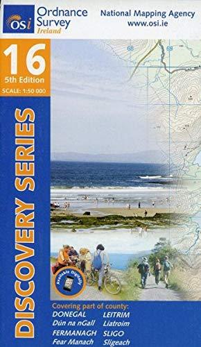
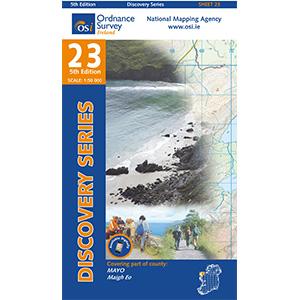
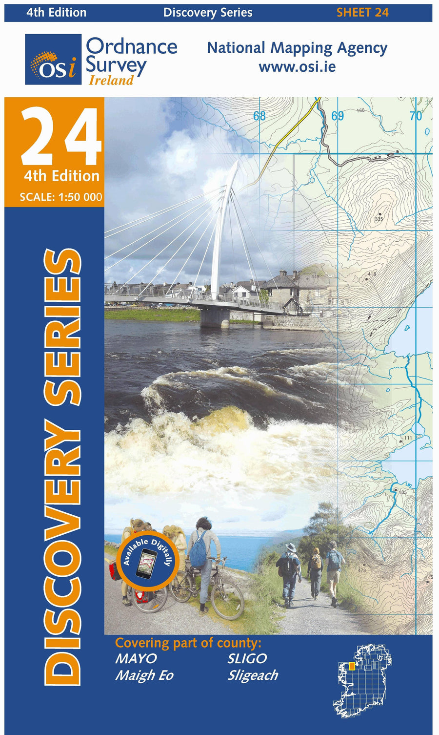
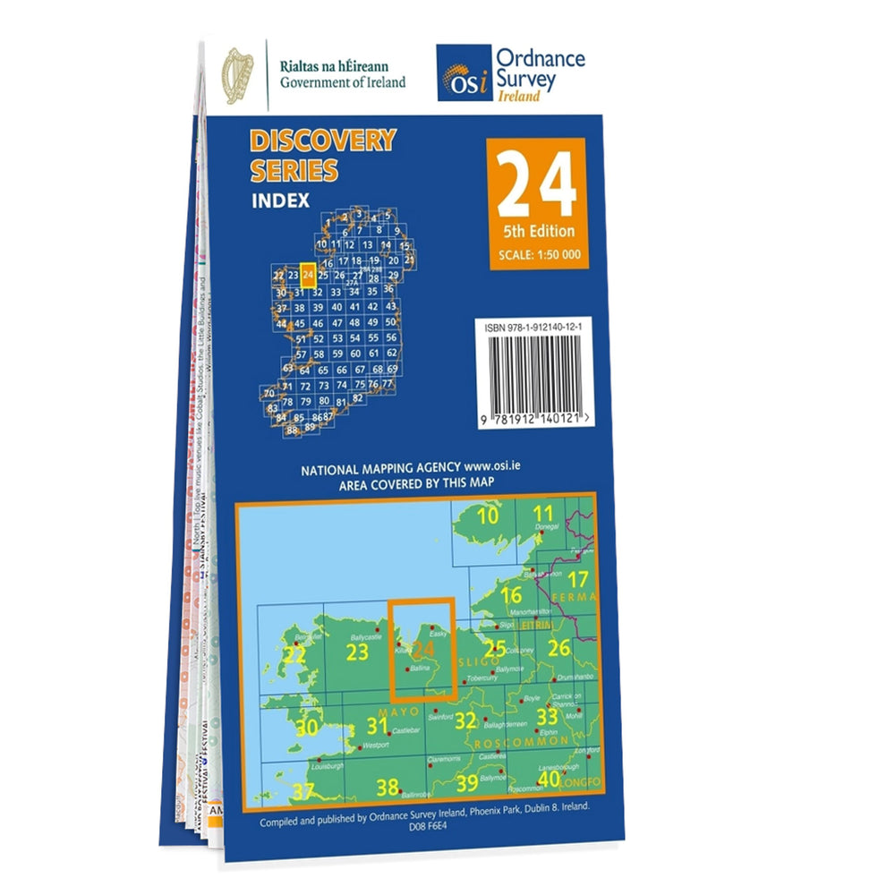
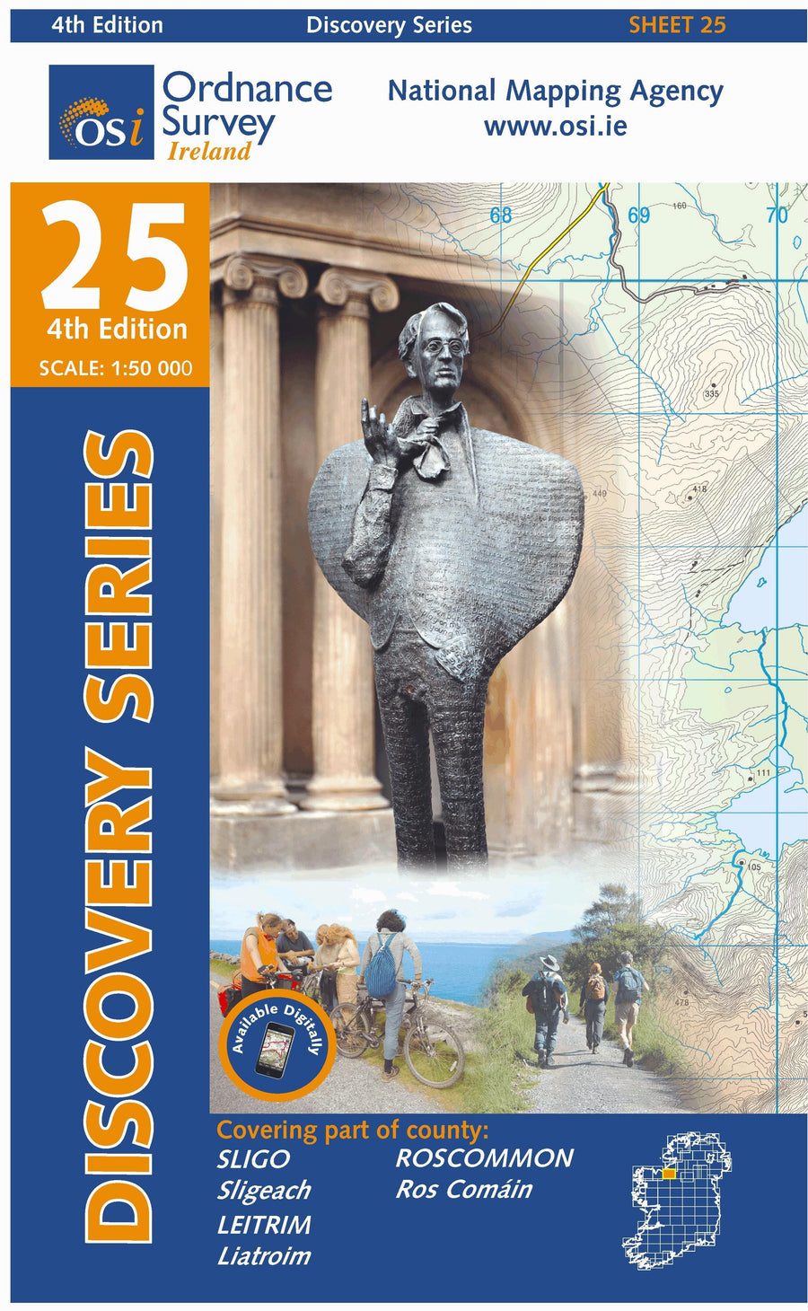
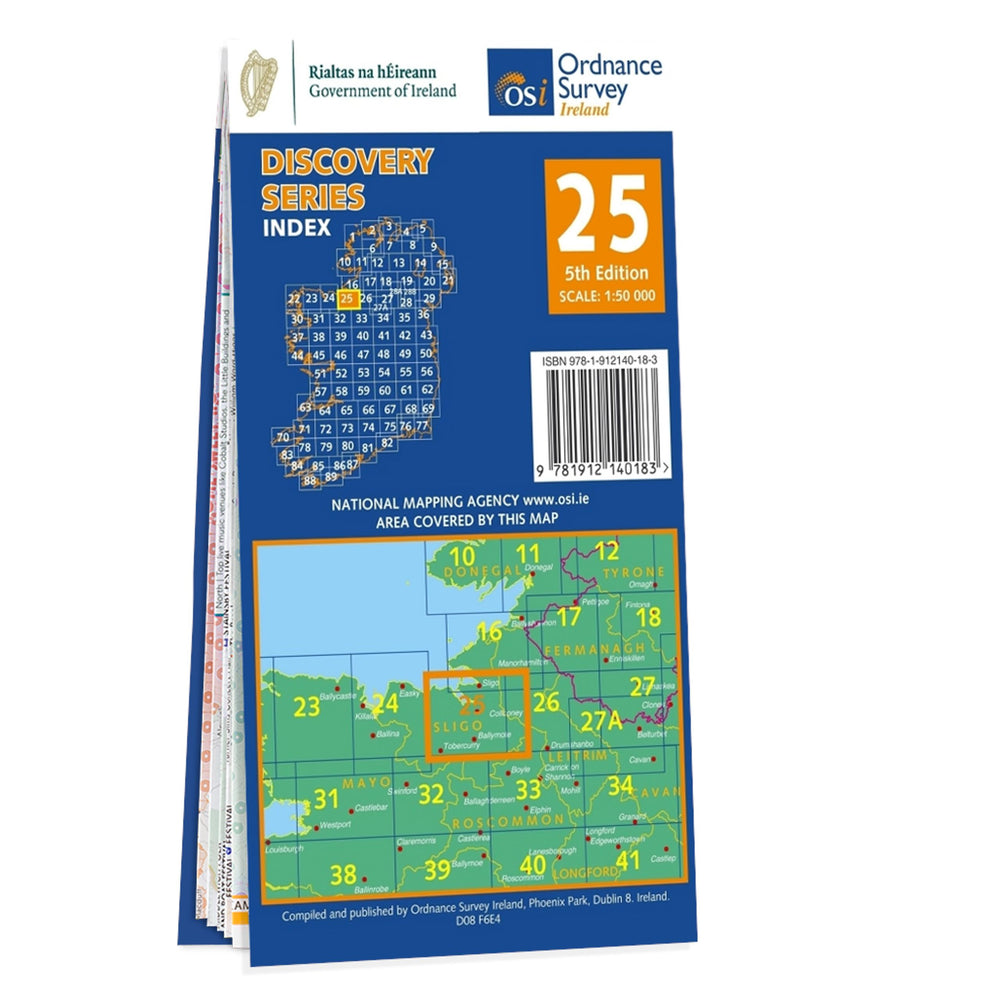
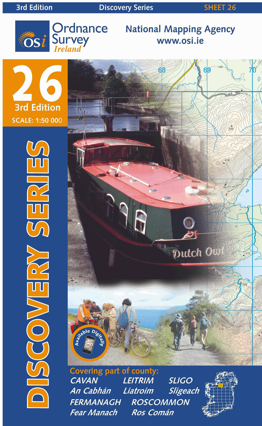
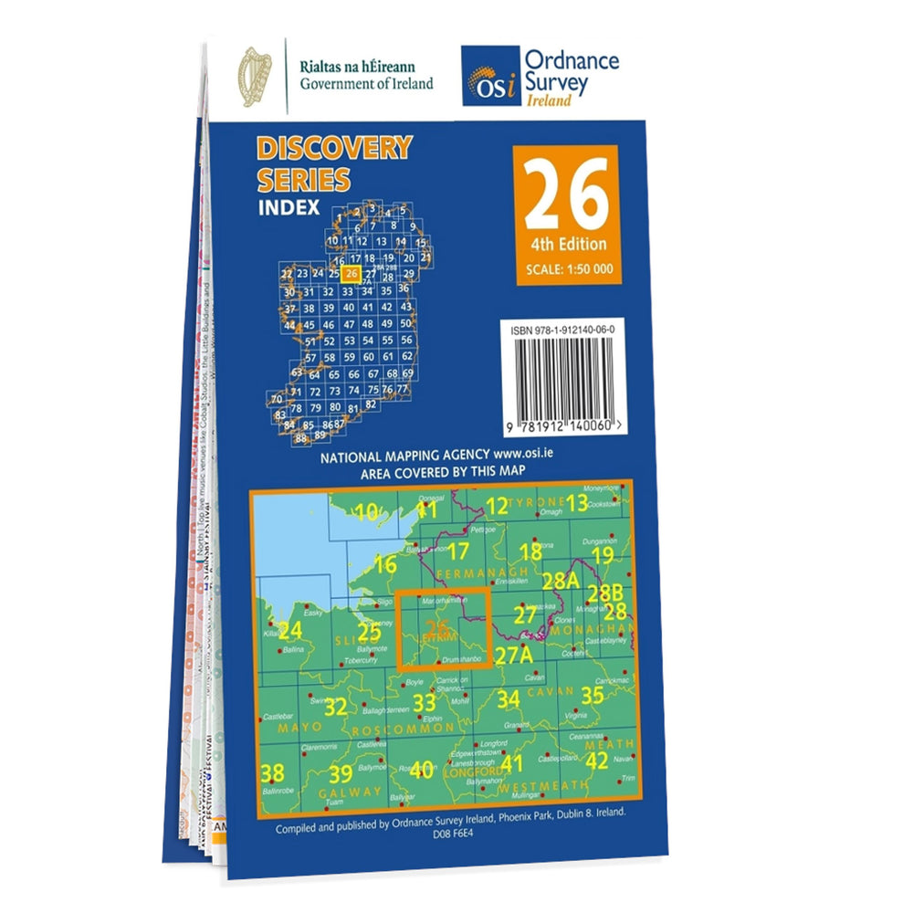
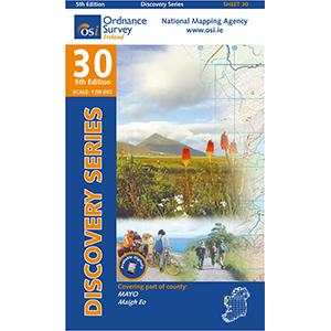
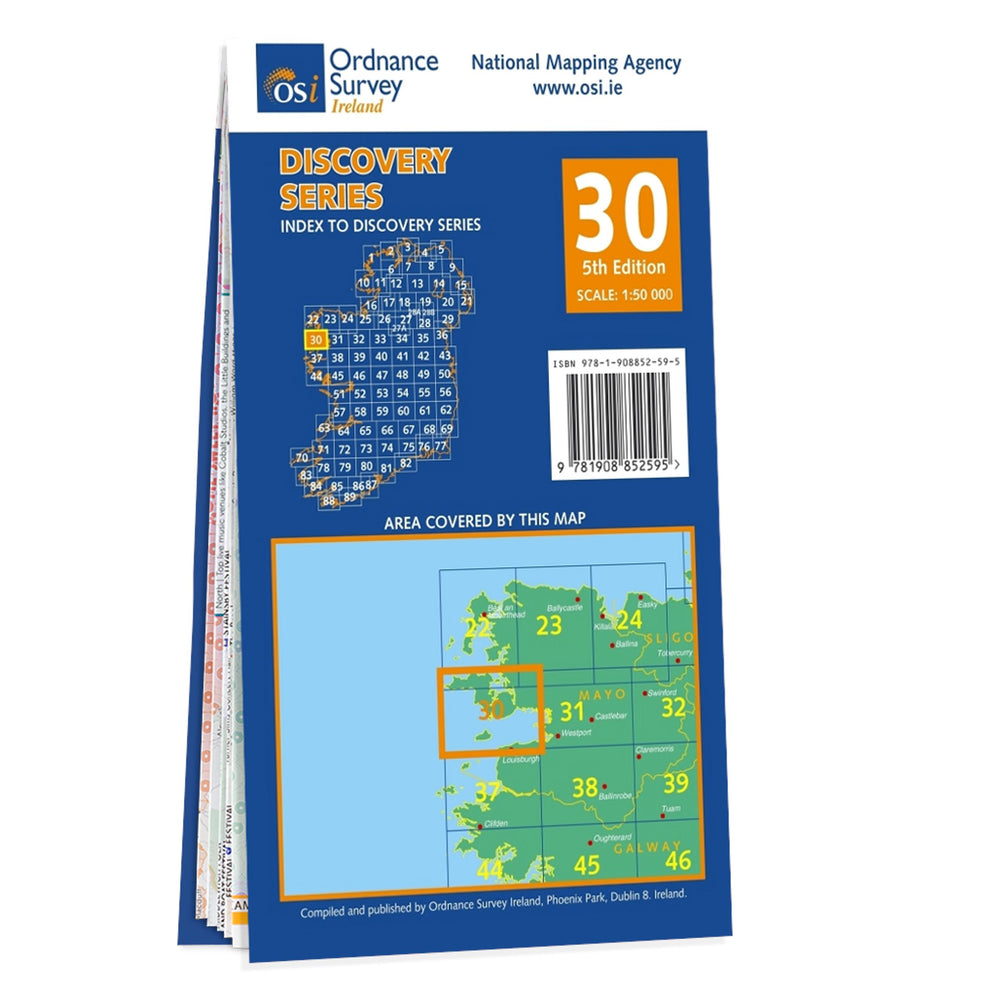
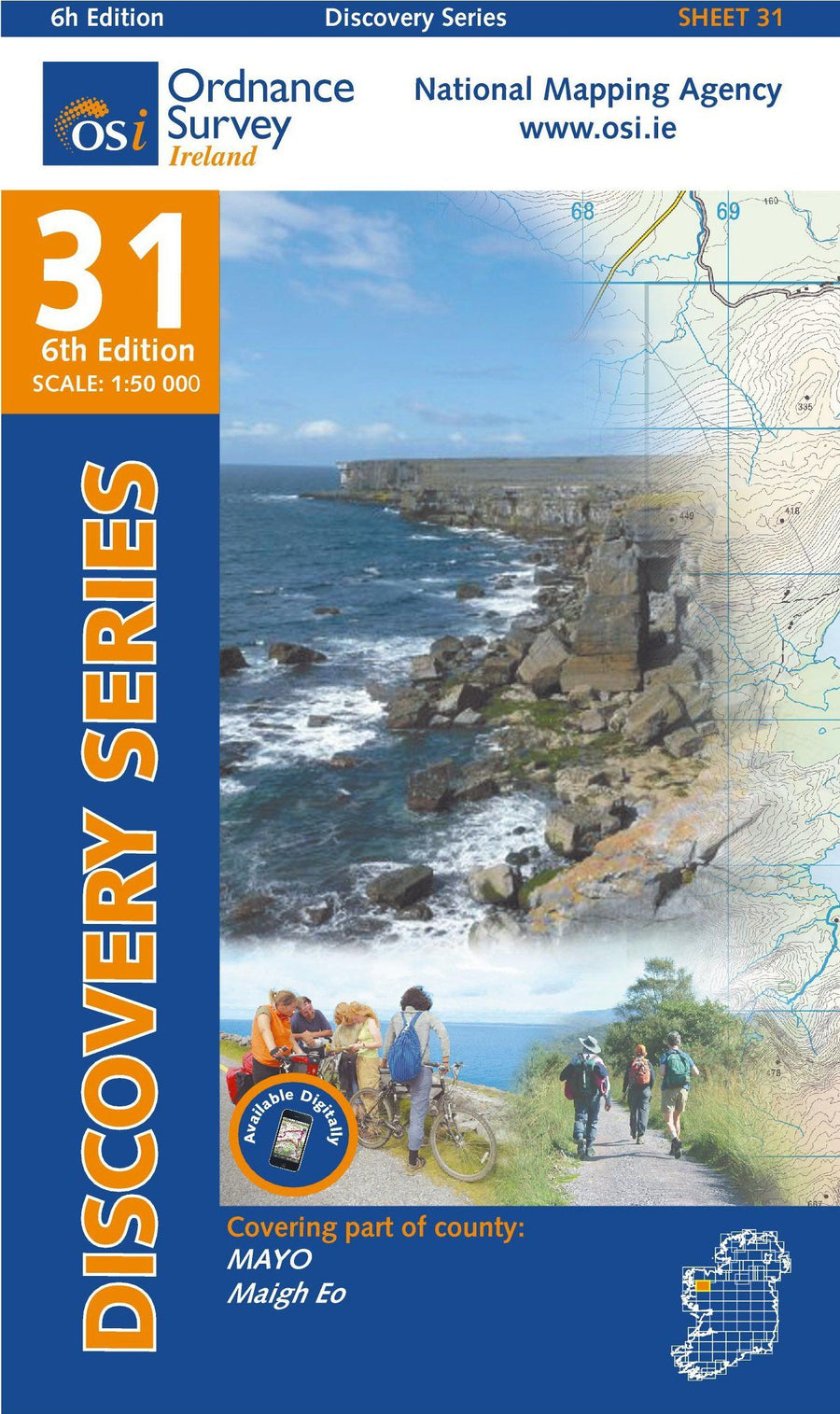
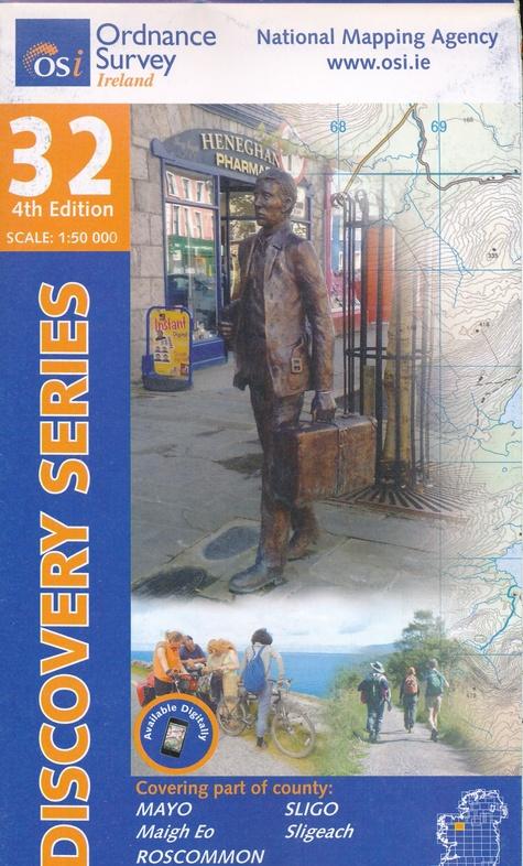
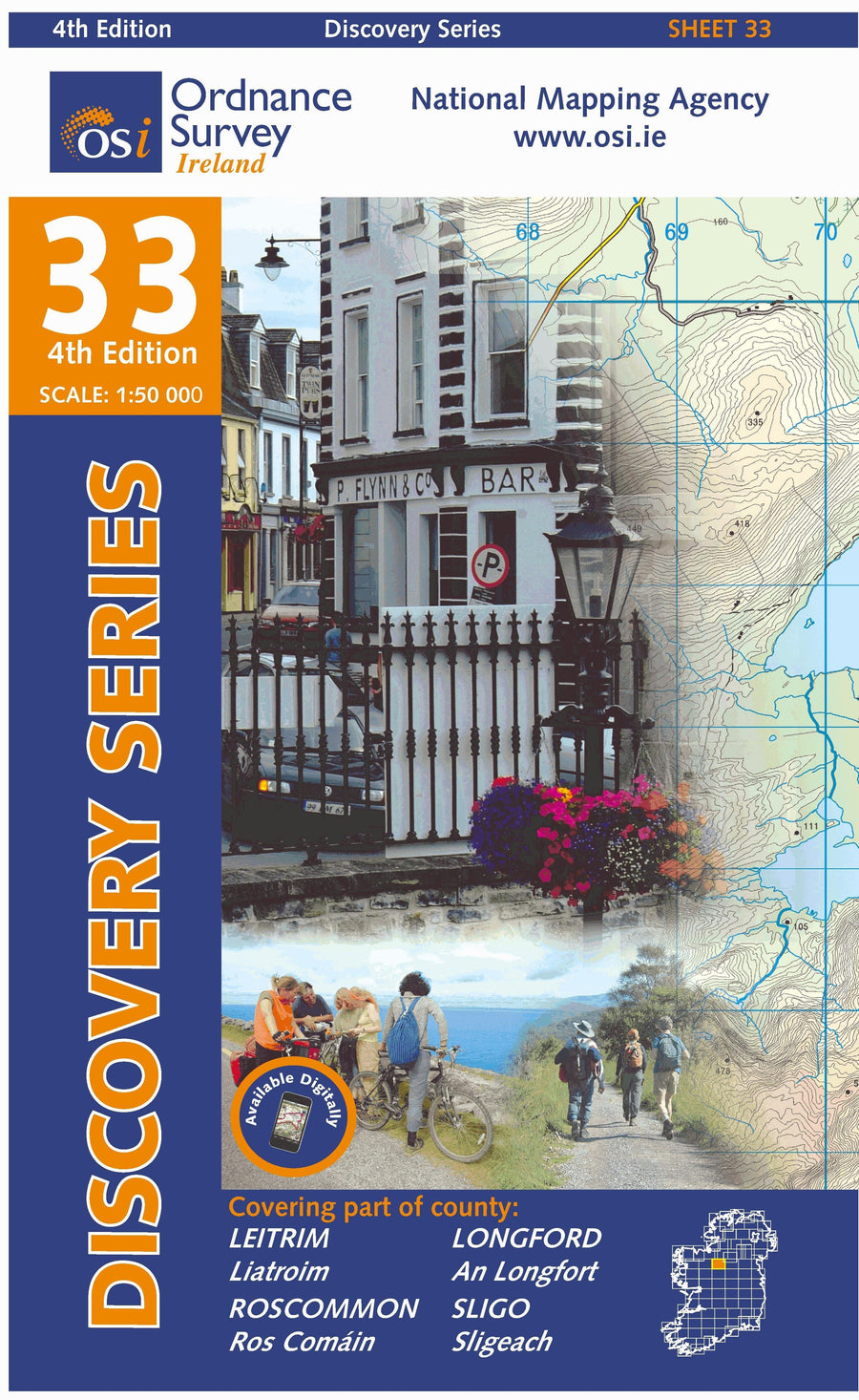
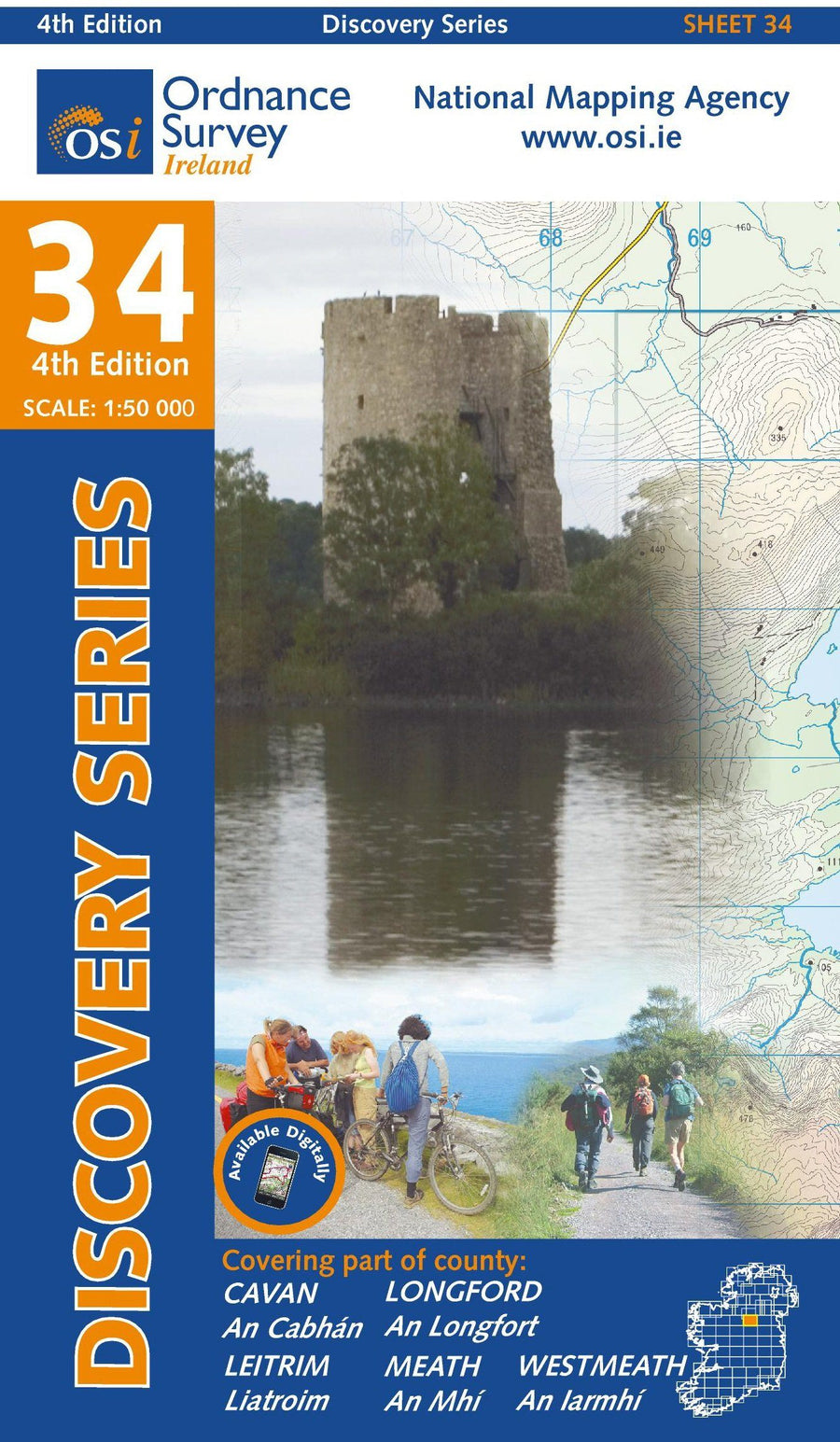
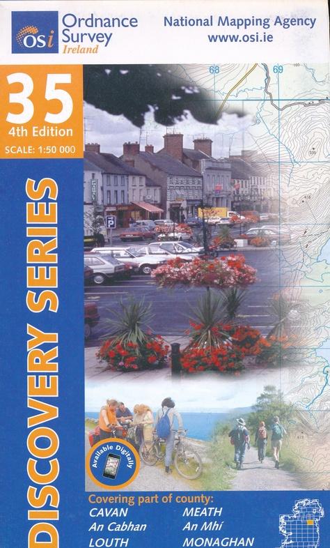
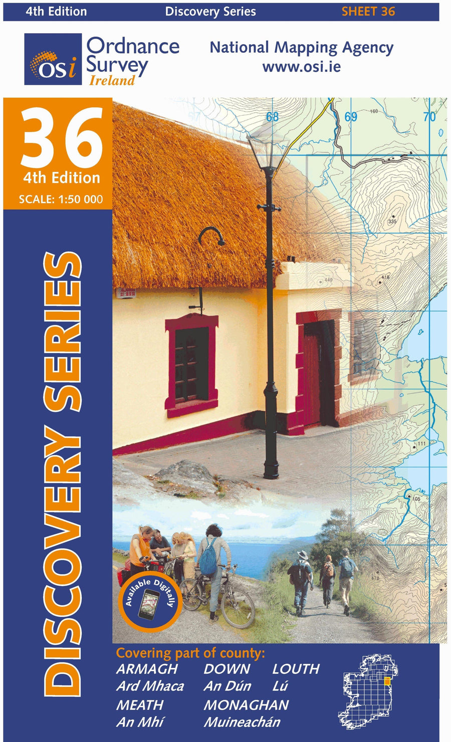
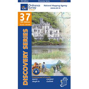
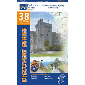
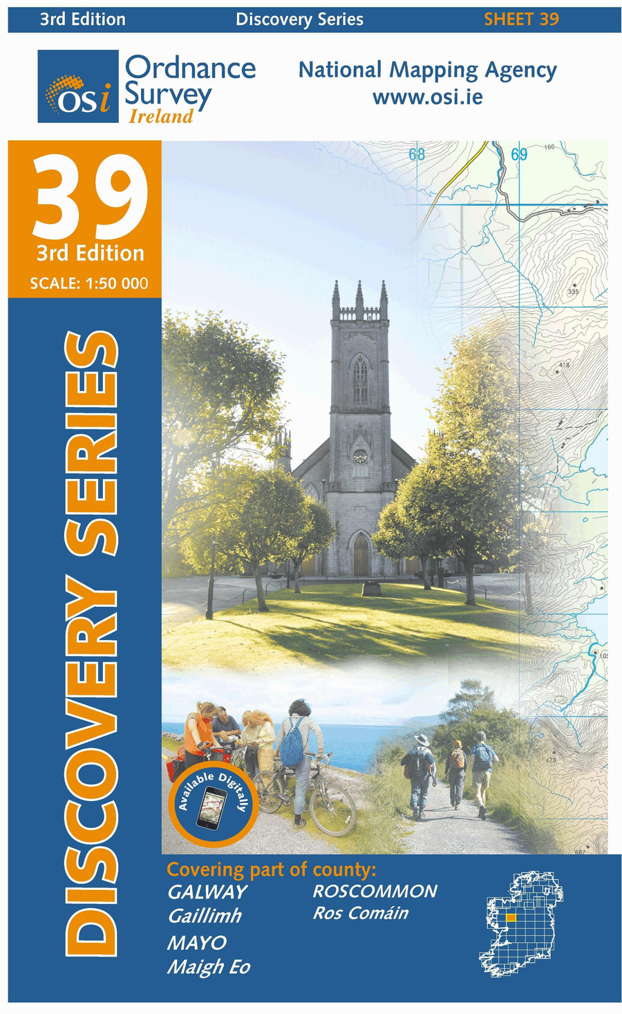
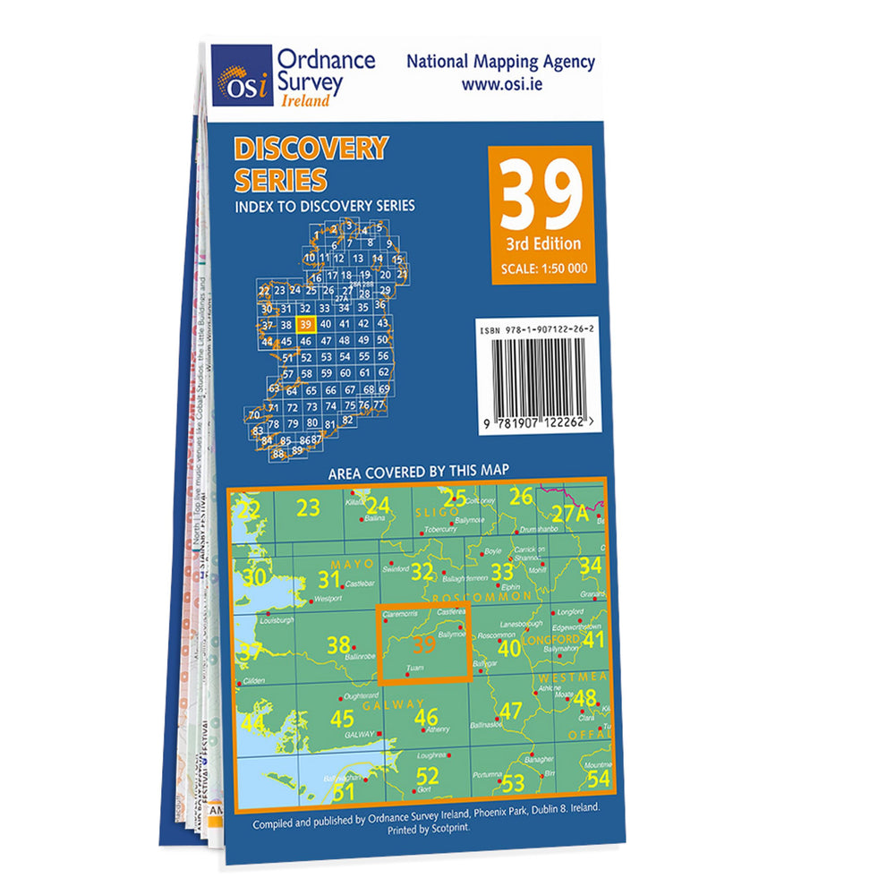
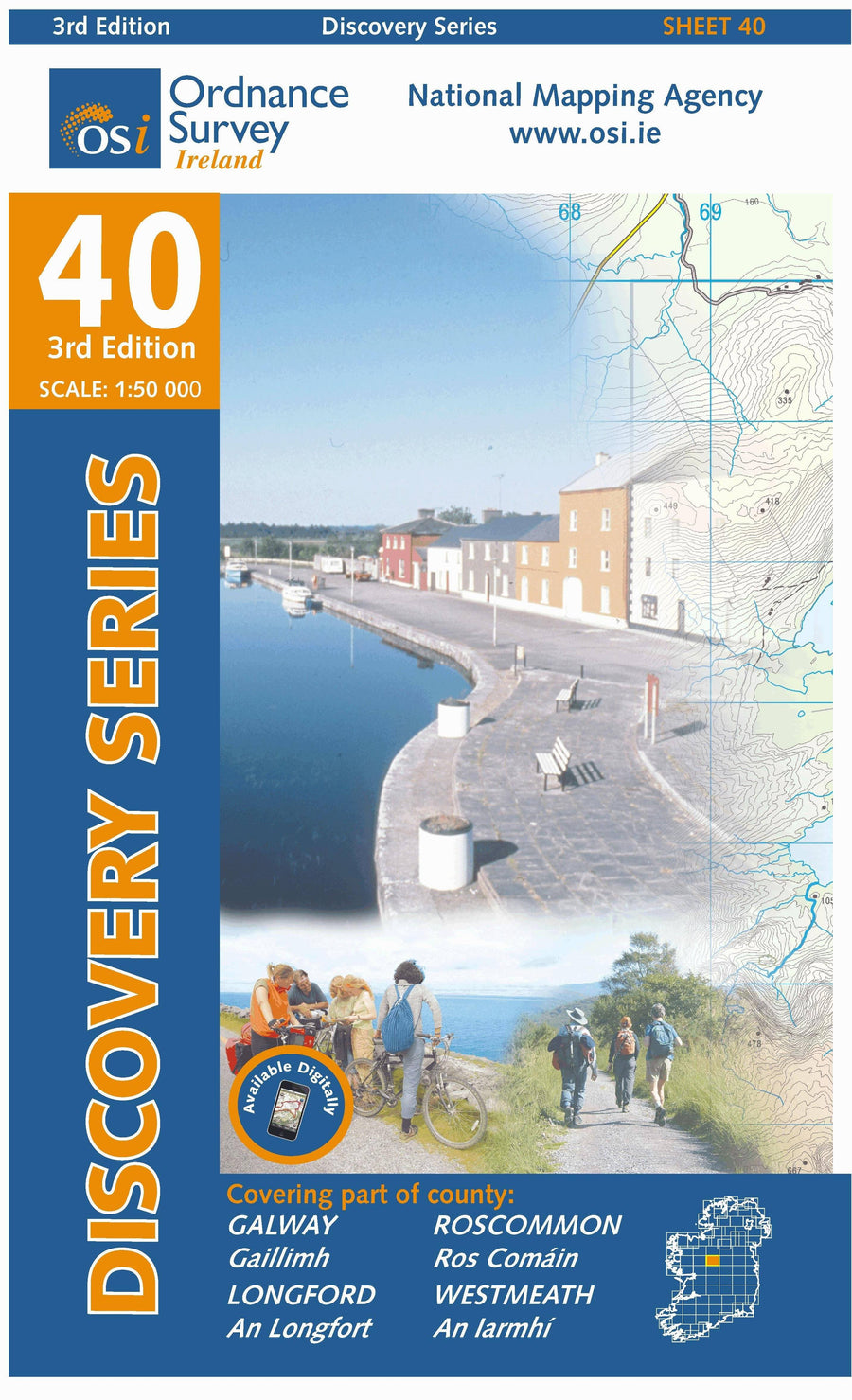
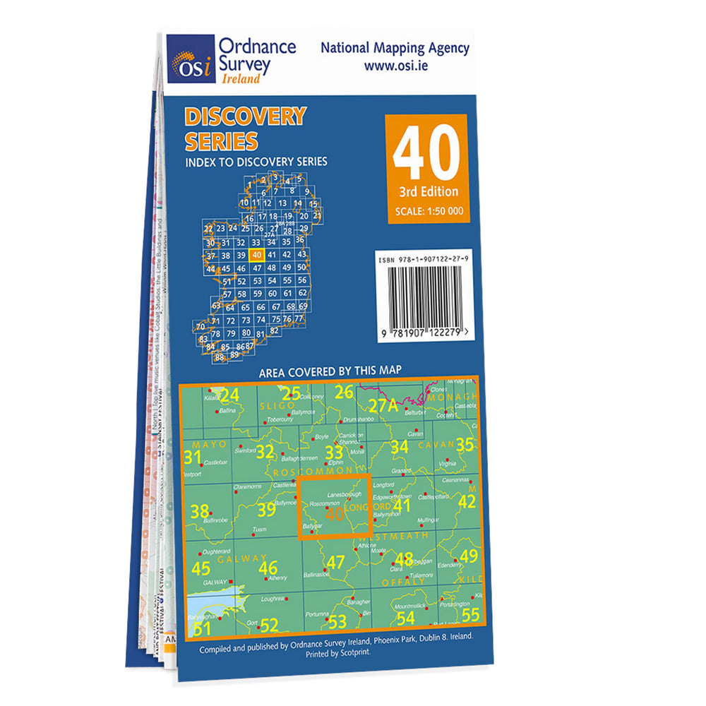
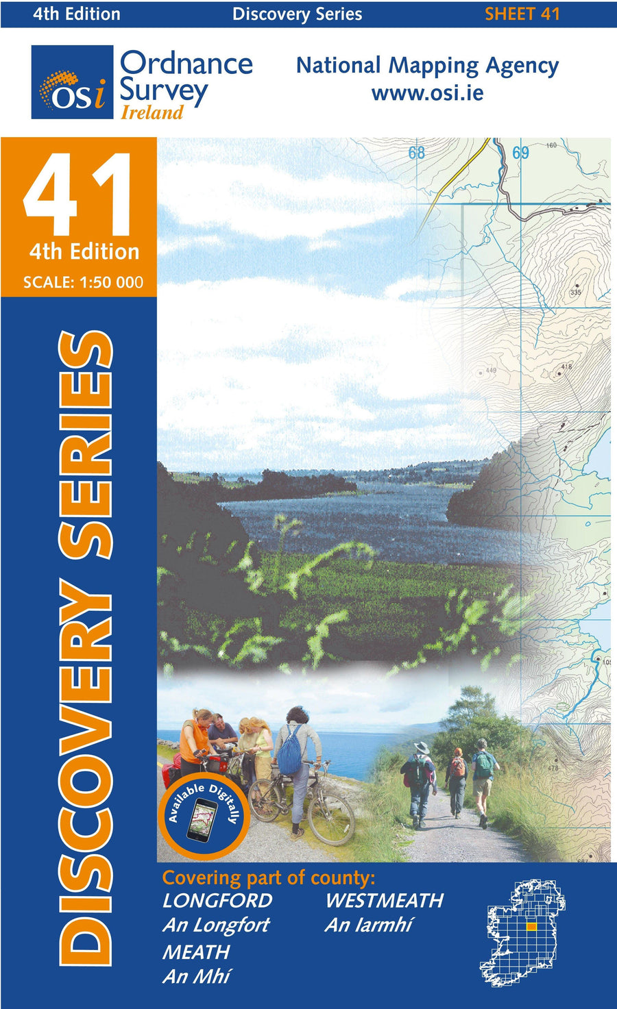
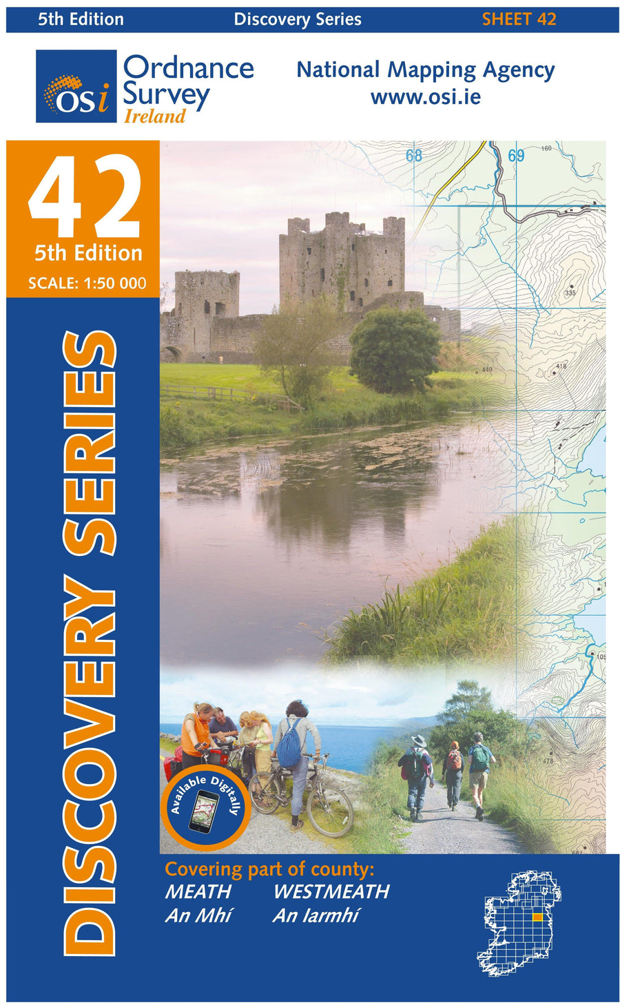
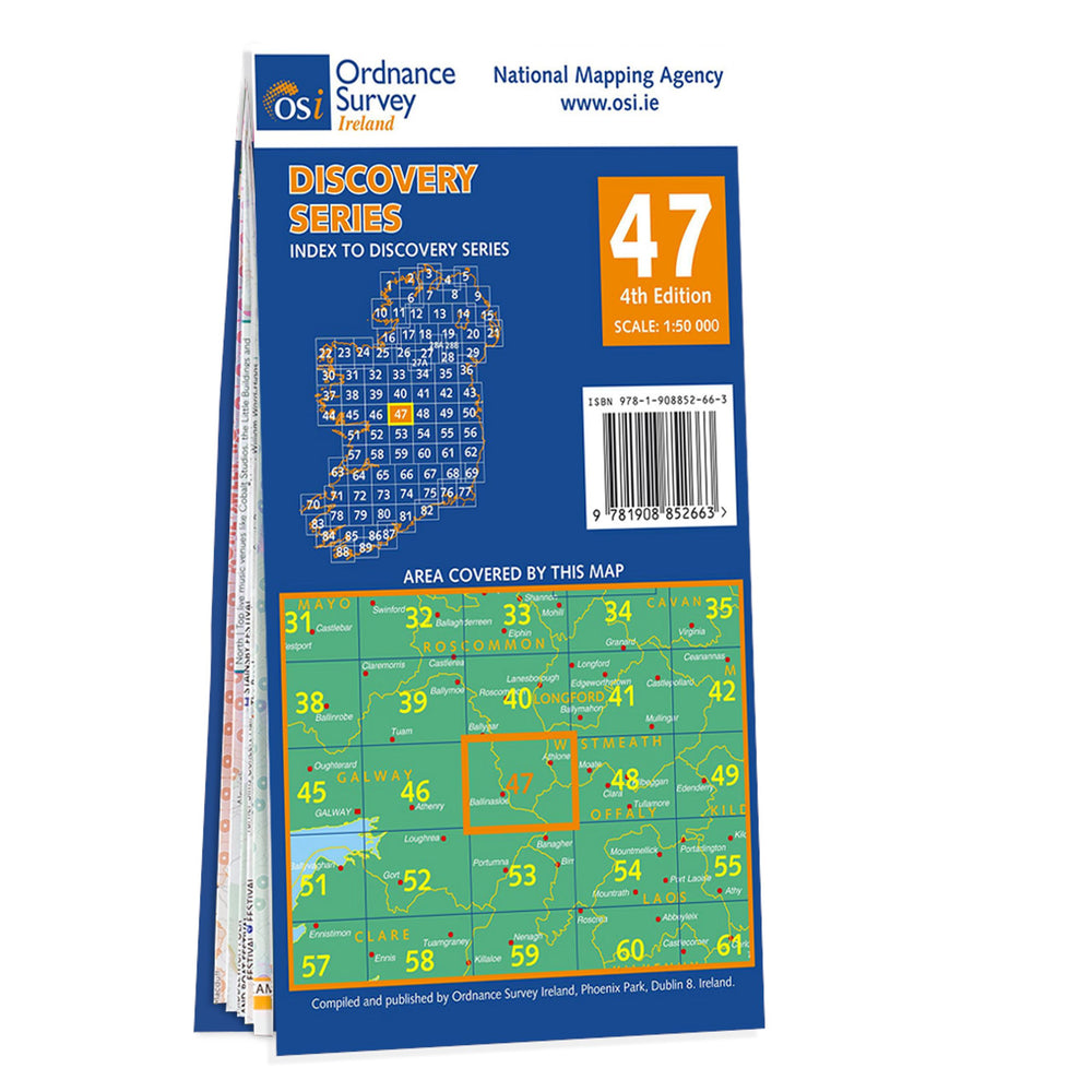
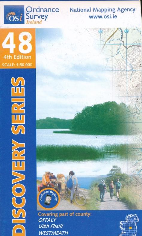
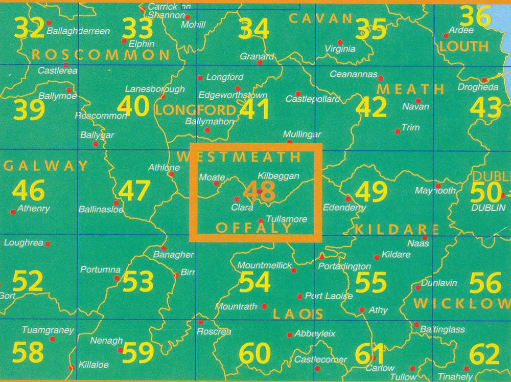
A series of topographic maps that cover the whole of Ireland at 1:50,000 (1 cm = 500 m).
Marked hiking and cycling paths are highlighted. National parks and nature reserves are presented and a series of symbols list additional tourist information such as camping possibilities, youth hostels, tourist offices, car parks etc.
The maps are GPS compatible. The map legend is in Irish and English.

The exclusive newsletter for travel and discovery enthusiasts!