Occitania (France) hiking maps - IGN TOP 25 & SÉRIE BLEUE
57 products
Over 19,000 maps and travel guides, hiking maps, posters, globes, and decor in stock!
Over 19,000 maps and travel guides, hiking maps, posters, globes, and decor in stock!
🧭 Soon: Cartovia ✨ Read the full story here 🗺️
🧭 This September, La Compagnie des Cartes becomes Cartovia ✨ Read the full story here 🗺️
Free delivery for all orders > €50 (folded maps and guides, France)
Free delivery for all orders > €50 (folded maps and guides, France)
57 products
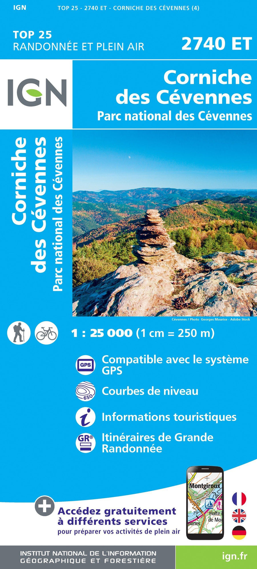
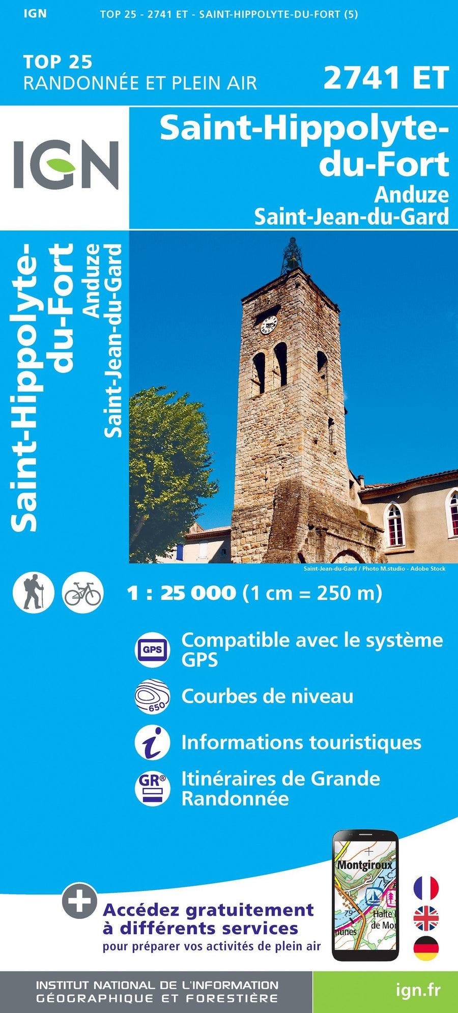
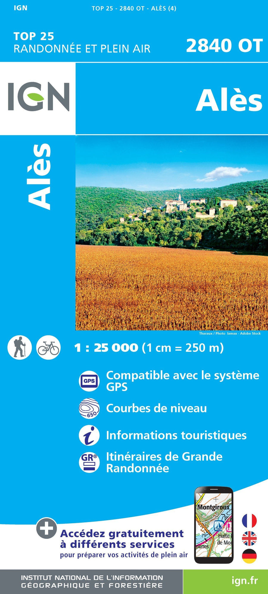
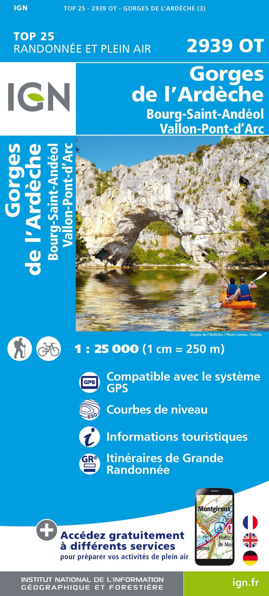
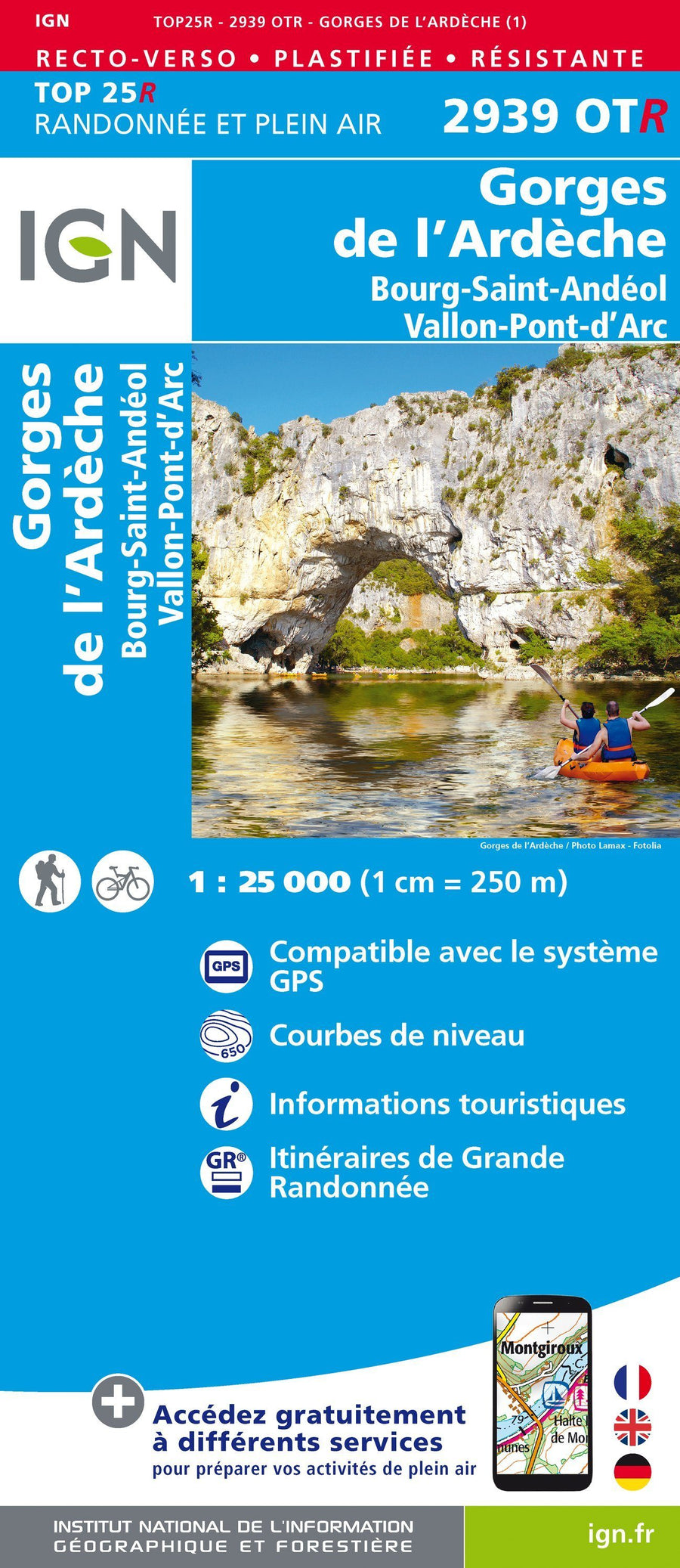
You will find in this section all the IGN TOP 25 and SÉRIE BLEUE hiking maps covering the Occitanie region including part of the Mediterranean rim and the Eastern Pyrenees:

The exclusive newsletter for travel and discovery enthusiasts!