Hundreds of wall maps, in stock, ready to decorate your walls! We offer a very wide selection of wall maps in different formats with different finishes (paper, laminated, with retaining slats) for the following regions:
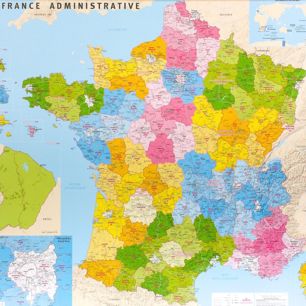
France
Administrative or physical maps, and also relief maps.
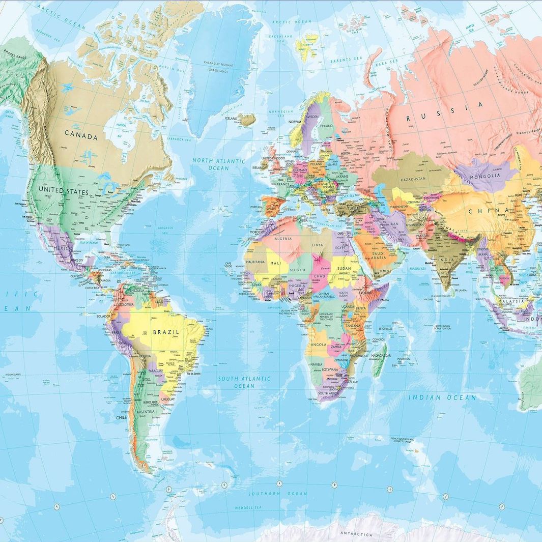
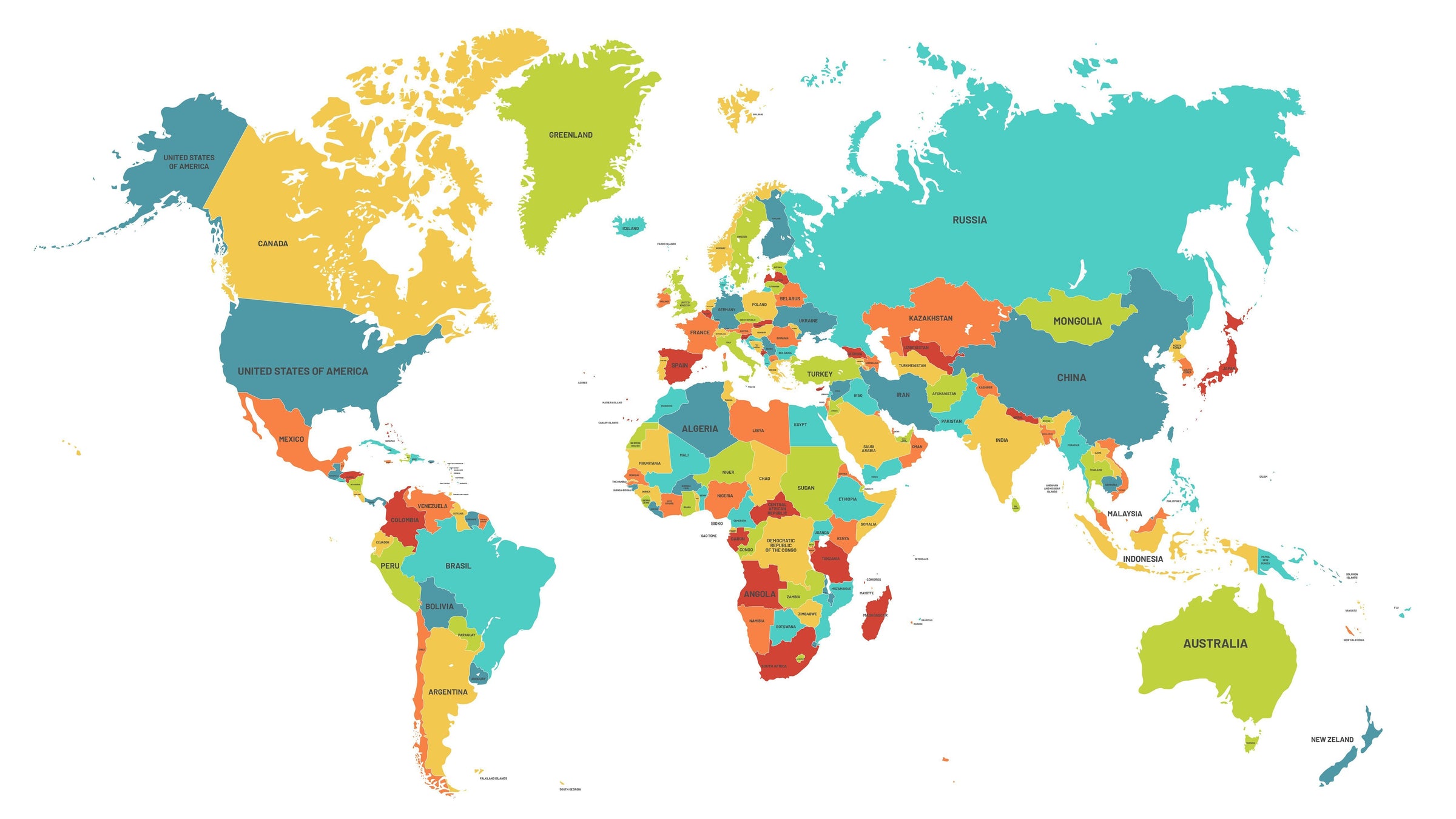
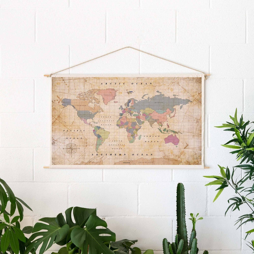
World / Planispheres
A wide choice of political or physical planispheres, in modern or vintage style.
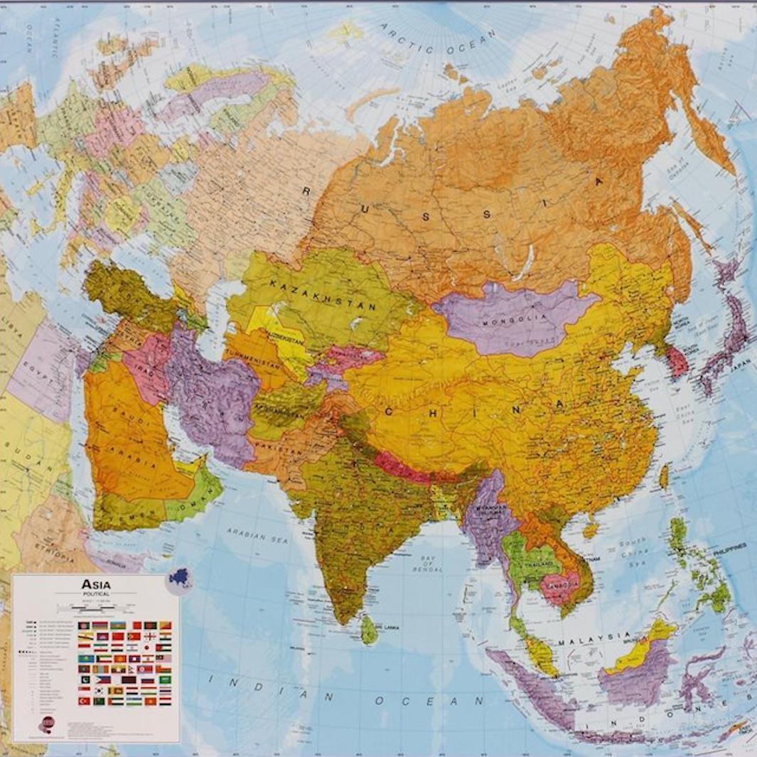
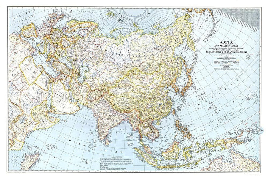
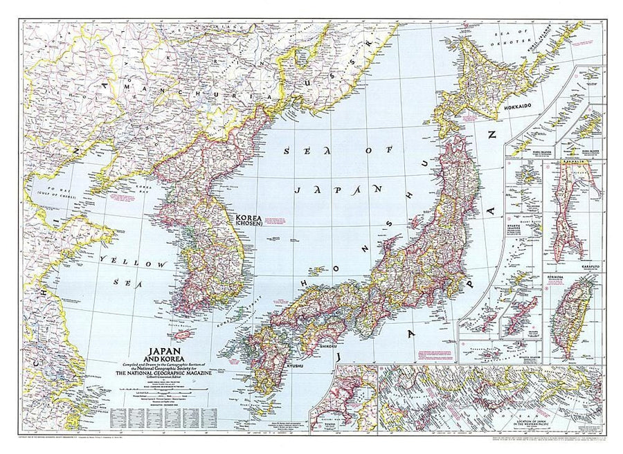
Asia
General maps of Asia and also maps of China, the Caucasus and Central Asia.
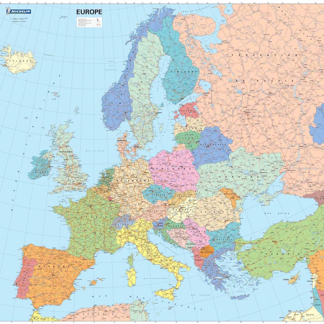
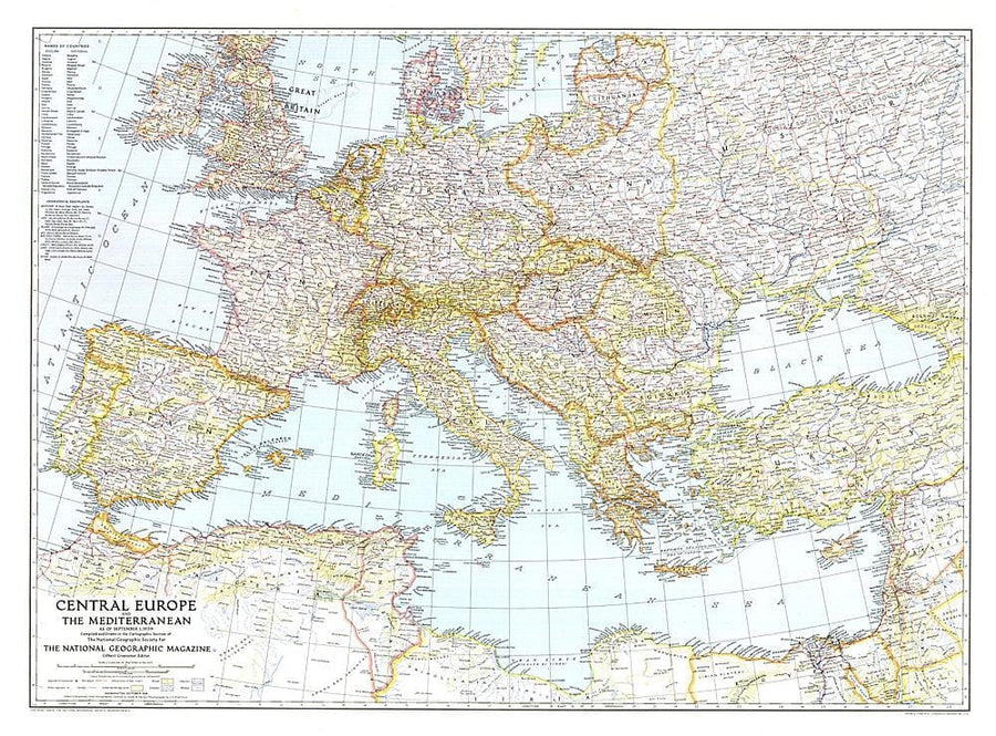
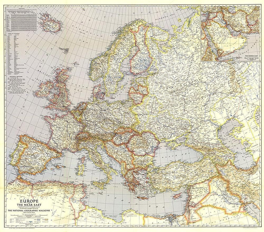
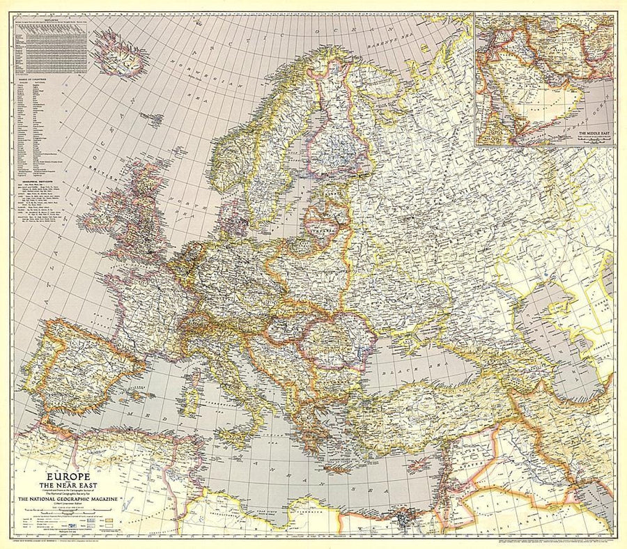
Europe
General maps of Europe and maps of the different European countries.
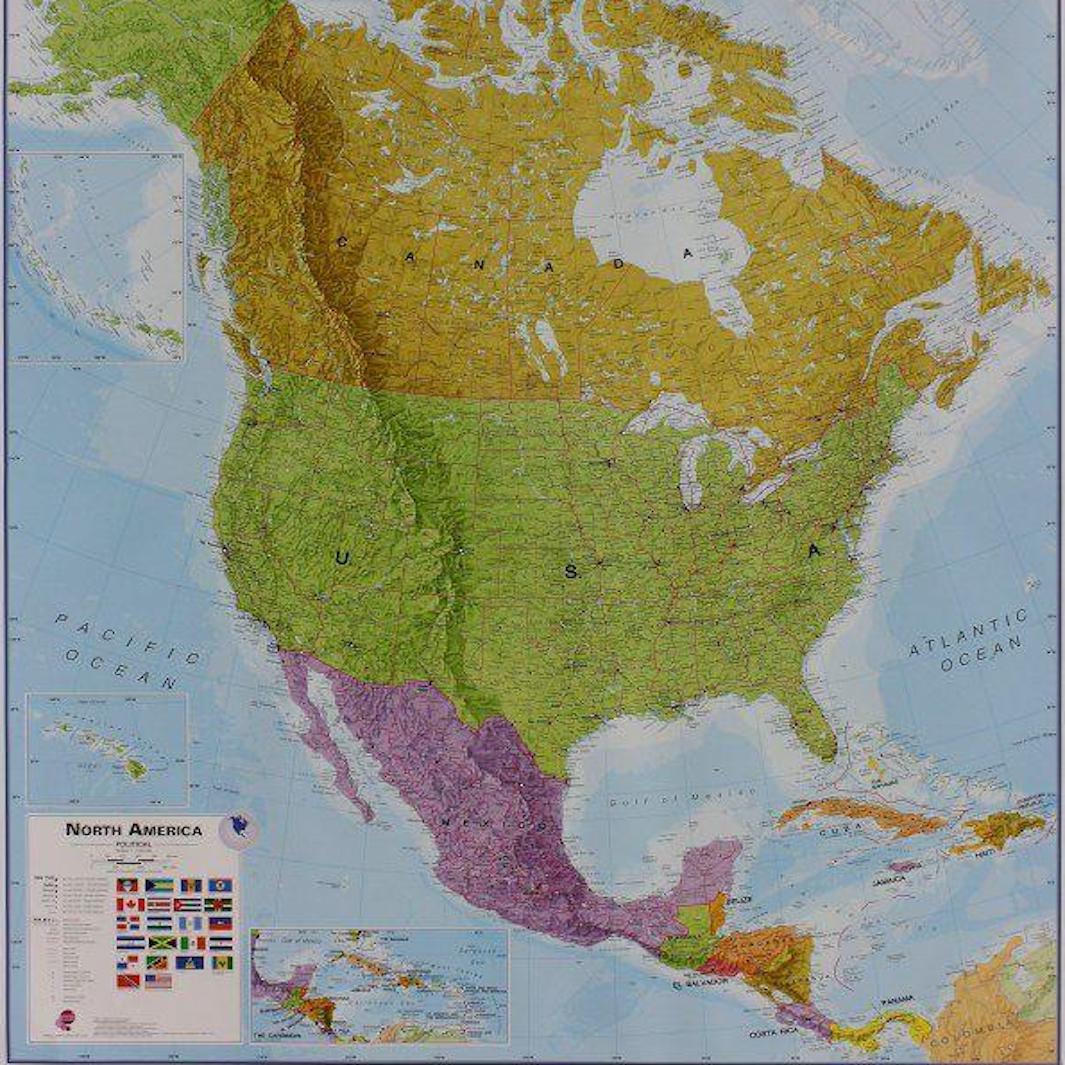
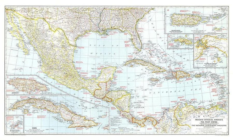
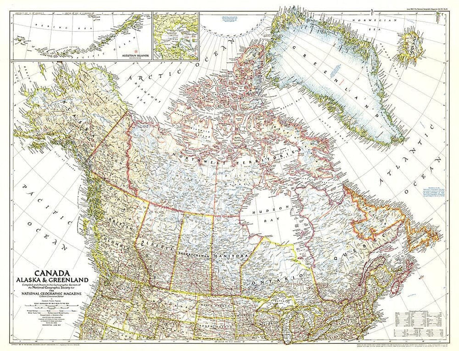
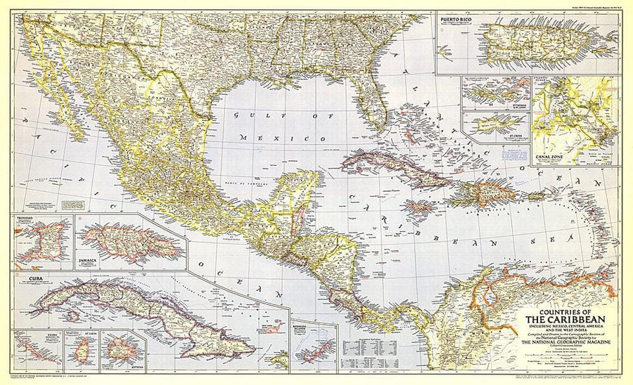
Americas
Maps of North America, Central America and South America.
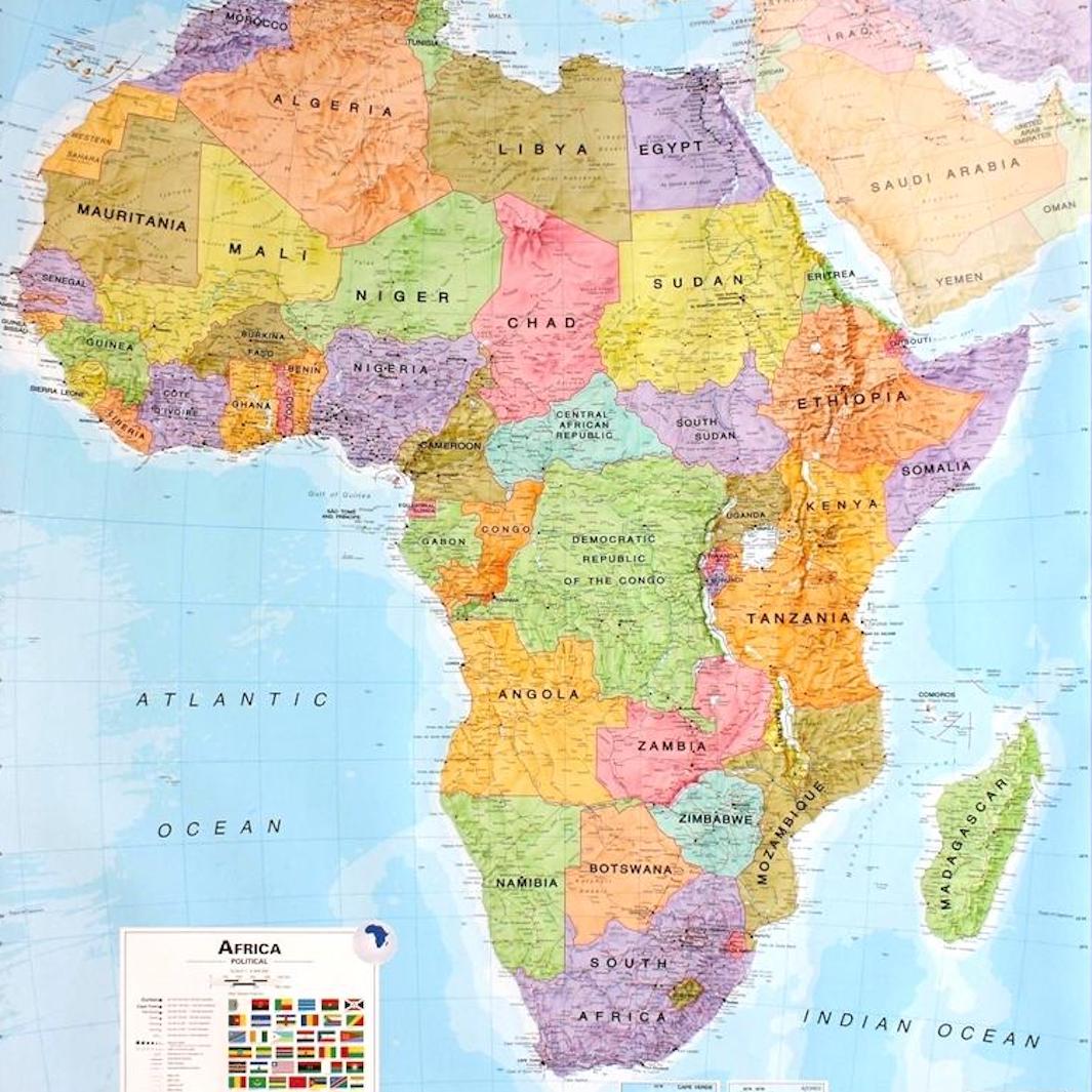
Africa
General maps of Africa, and of some African countries.
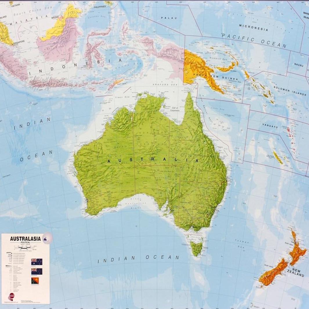
Oceania
Posters from Australia and New Zealand, in paper or laminated version.
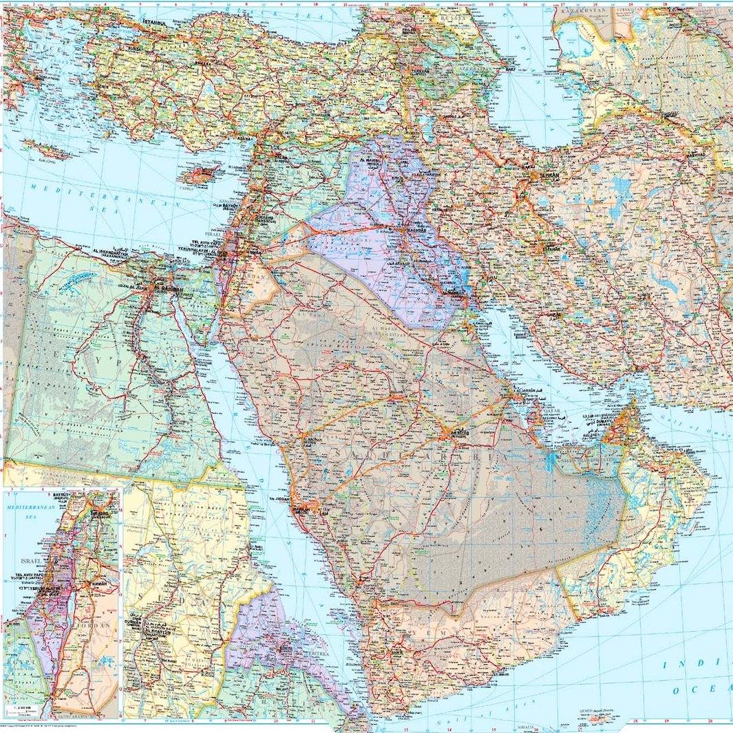
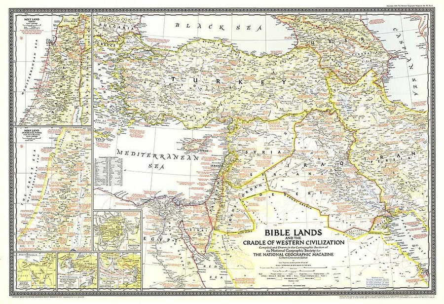
Middle East
Posters from the Middle East including maps of Iran and Iraq.
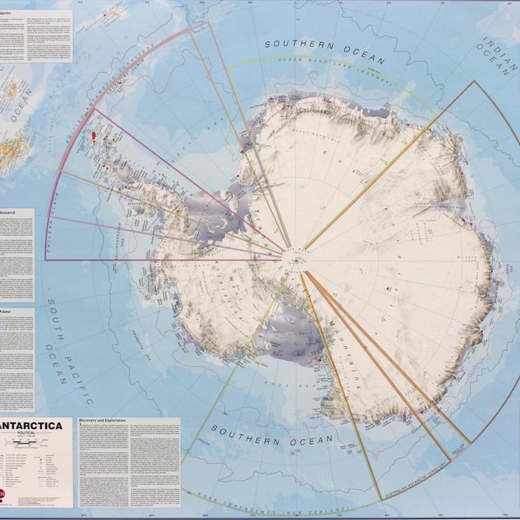
Arctic & Antarctic
Posters of the Arctic and Antarctic, in paper or laminated version.
Different possible finishes for your wall maps
Discover our selection of posters equipped with metal eyelets, wooden slats or aluminum profiles for easy hanging here .
Our manufacturing workshop can also offer different tailor-made finishes for fixing your wall cards (e.g.: metal or synthetic slats or wooden sticks for holding, or even metal profiles). Do not hesitate to contact us for your special requests!
Also discover all our special cards!
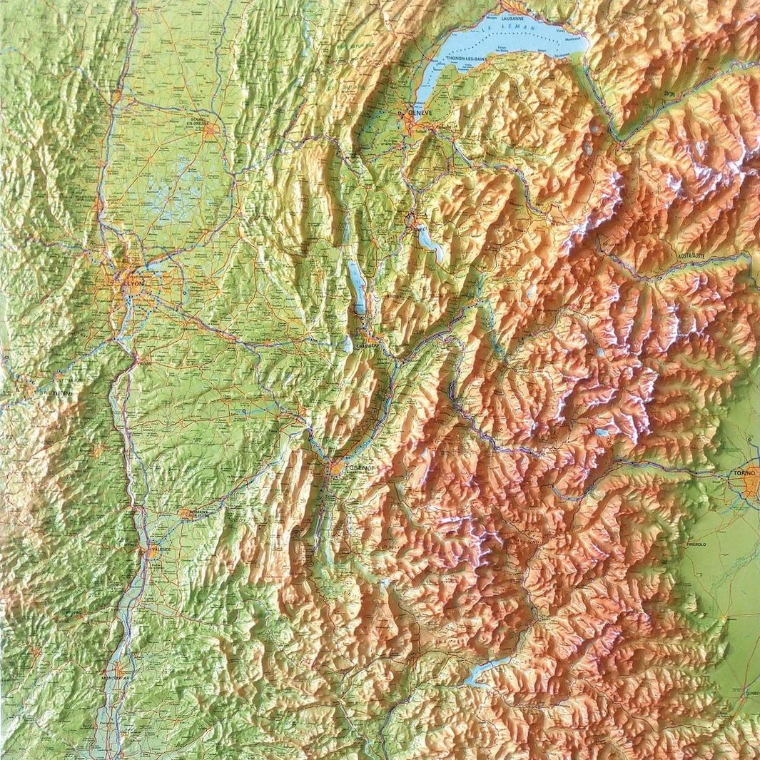
Raised maps
Maps of countries, continents or the world where you can see and feel.
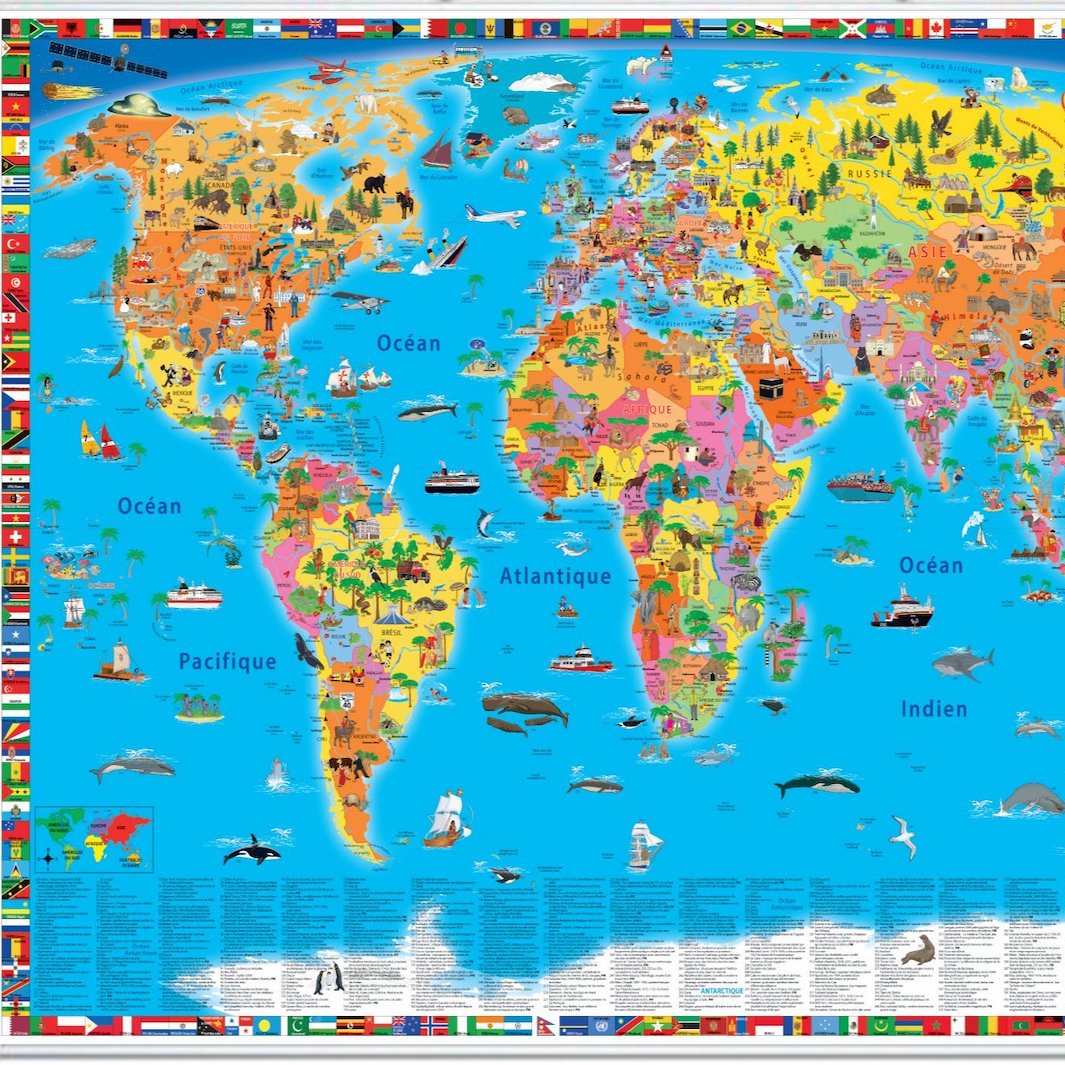
Children's cards
Stylized educational cards specially adapted for young children.
Magnetic cards / signs
Wall maps glued on a magnetic support. Ideal for businesses.
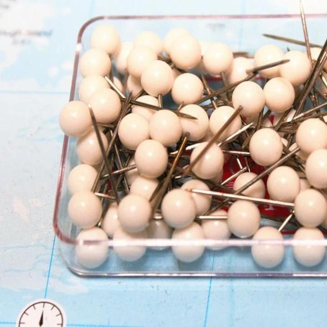
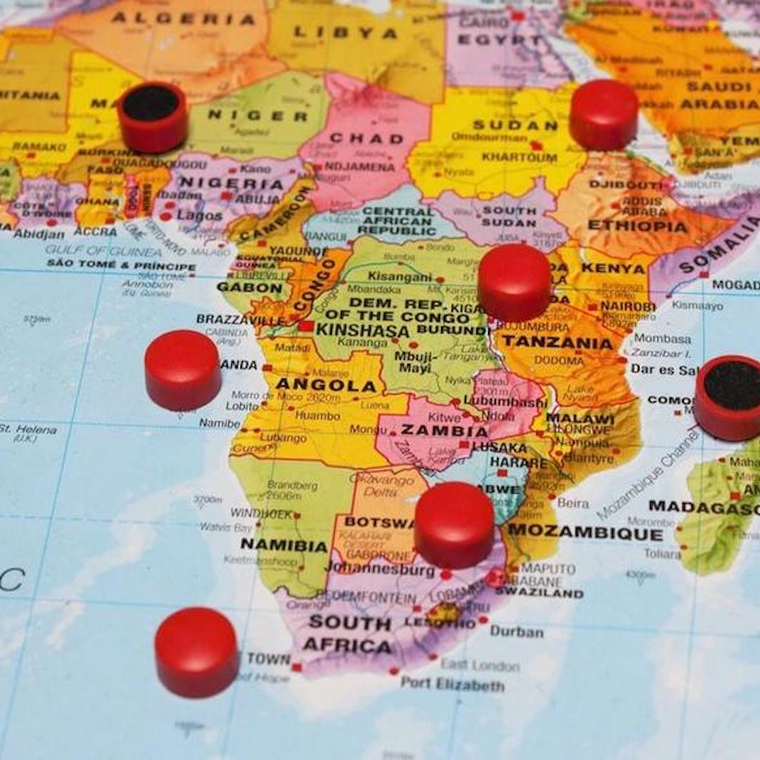
Pin Cards/Panels
Wall maps glued on a pinable support. Ideal for businesses.
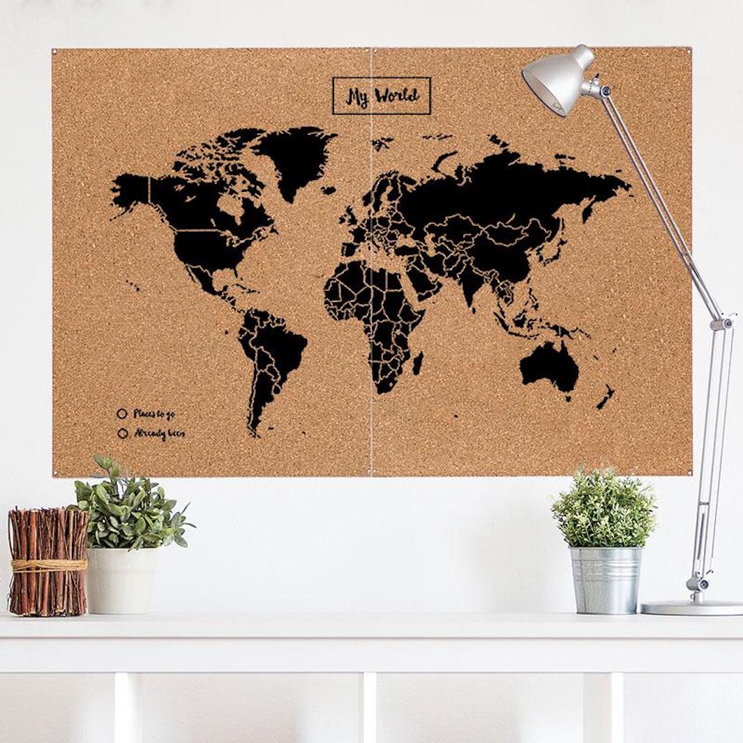
Pinable Cork Cards
Cork wall maps that can be pinned to place markers.
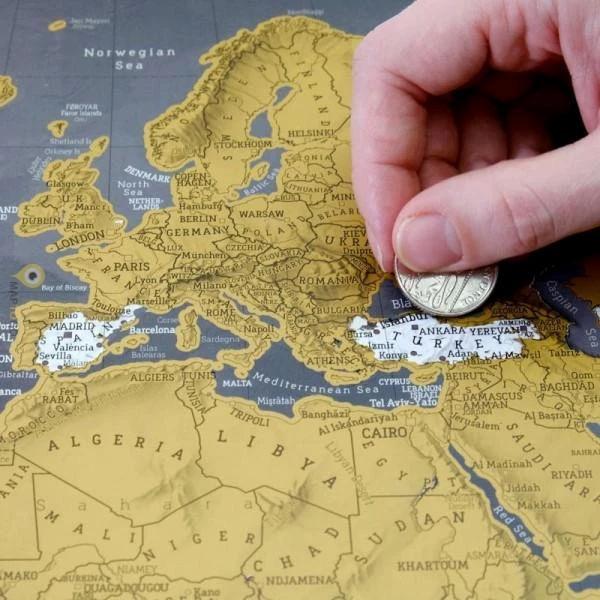
scratch cards
Maps that reveal parts of the world when scratched.
Thematic decorative cards
Posters in vintage style or printed on a medium other than paper.
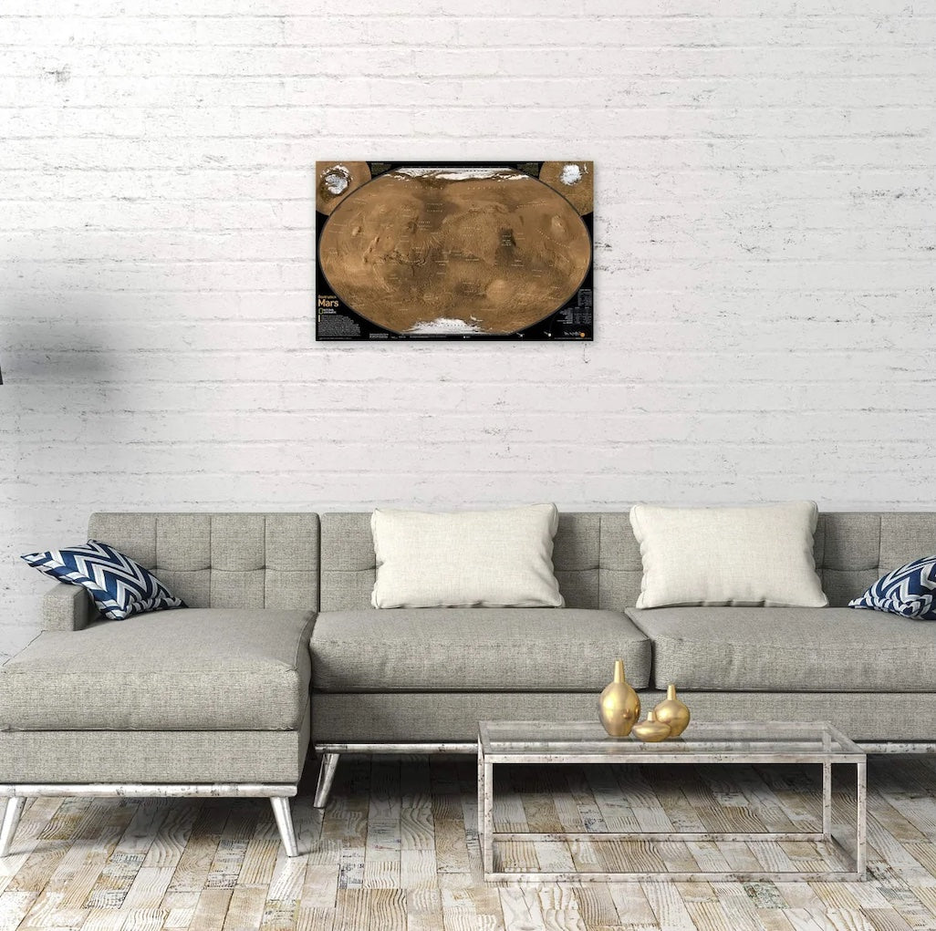
space and planets
Posters of Mars, the Moon or the Milky Way.

Historical maps
Historical maps of France and the world